Near Granite in Baker County, Oregon — The American West (Northwest)
The Fremont Powerhouse Historic District
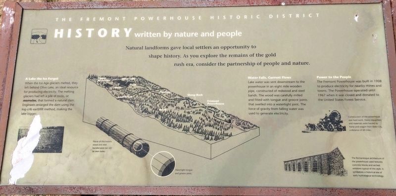
History written by nature and people
A lake the ice forgot
When the Ice Age glaciers melted, they left behind Olive Lake, and ideal resource for producing electricity. The melting glaciers had left behind a pile of rocks, or moraine, that formed a natural dam. Engineers enlarged the dam using the log-crib earthfill method, making the lake bigger.
Water fall, current flows
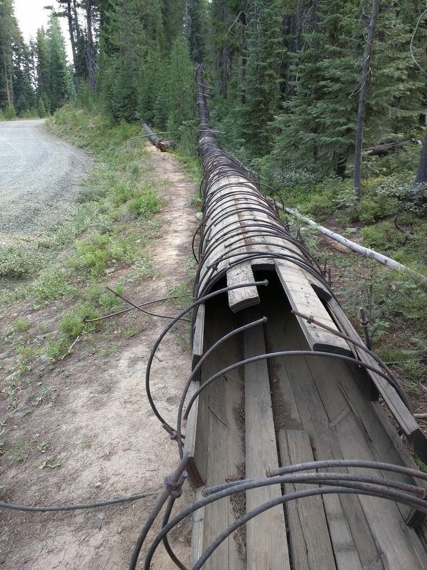
Lake water was sent downstream to the powerhouse in an eight mile wooden pipe, constructed of redwood and steel bands. The wood was carefully milled and fitted with tongue and groove joints that swelled into a watertight joint. The force of gravity from falling water was used to generate electricity.
Power to the people
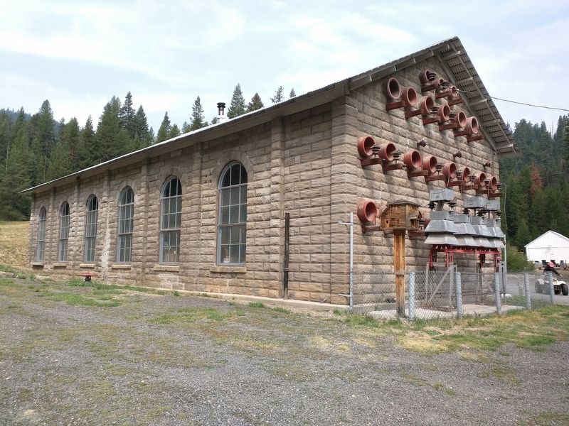
The Fremont Powerhouse was built in 1908 to produce electricity for nearby mines and towns. The powerhouse was operated until 1967 when it was closed and donated to the United States Forest Service.
Topics. This historical marker is listed in this topic list: Industry & Commerce. A significant historical year for this entry is 1908.
Location. 44° 47.792′ N, 118° 29.873′ W. Marker is near Granite, Oregon, in Baker County. Marker can be reached from Forest Service Road 10 (County Road 24). The Fremont Powerhouse is visible and well signed on the north side of Grant County Road 24 (also known as Forest Service Road 10). There is a small public parking area with an outhouse between the road and the powerstation. The interpretive sign is on the north side of the powerstation. Touch for map. Marker is in this post office area: Sumpter OR 97877, United States of America. Touch for directions.
Other nearby markers. At least 4 other markers are within 14 miles of this marker, measured as the crow flies. Red Boy Mine (approx. one mile away); Granite, Oregon / Leaving Granite (approx. 3.8 miles away); Ah Hee Diggings (approx. 4.6 miles away); The Oxbow Conservation Area (approx. 13.4 miles away).
More about this marker. Detailed driving instructions:
From Pendleton, travel south on Highway 395 for 50 miles to the Ukiah exit. Turn left on Highway 244 to Ukiah. Take Forest Service Road (FSR) 52 from Ukiah city center, and travel 50 miles to the small town of Granite. From Granite go west on County Road 24 for approximately 6 miles. The main road veers left along the creek bed. At this junction go uphill on FSR 10 and follow the signs to the Fremont Powerhouse.
From Baker City, travel west on Highway 7 20 miles to the junction with FSR 73. Proceed north through Sumpter and another 17 miles to the small town of Granite. From
Granite go west on County Road 24 for approximately 6 miles. The main road veers left along the creek bed. At this junction go uphill on FSR 10 and follow the signs to the Fremont Powerhouse.
FSR 10 is maintained in summer months, but access during the winter months may require snowmobiles, cross country skis, snowshoes or 4 wheel drive, depending on weather conditions. There is limited parking away from the site.
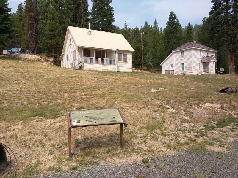
Regarding The Fremont Powerhouse Historic District. There are four historic cabins on the site that the Forest Service rents out through their Recreation Rental program: https://www.fs.usda.gov/detail/r6/recreation/racs/?cid=fsbdev2_026817
Please limit your exploration to the powerhouse itself and respect the privacy of the visitors who have rented the cabins!

Photographed By Don Hann, August 7, 2017
4. Section of wooden pipeline
This is a section of the eight mile long wooden pipeline that supplied water to the powerhouse from Olive Lake. You can see sections of the pipeline from Forest Service Road 10 on the drive between the Powerhouse and Olive Lake. The lake is worth a visit and includes several campsites (https://www.fs.usda.gov/recarea/umatilla/recarea/?recid=56605). It is a good gravel road but steep and narrow in places. This section of pipeline is directly adjacent to the road at N44 47 37.0, W118 32 56.7
Credits. This page was last revised on August 10, 2017. It was originally submitted on August 9, 2017, by Don Hann of Canyon City, Oregon. This page has been viewed 349 times since then and 44 times this year. Photos: 1, 2, 3, 4. submitted on August 9, 2017, by Don Hann of Canyon City, Oregon. • Syd Whittle was the editor who published this page.


