Plymouth in Plymouth County, Massachusetts — The American Northeast (New England)
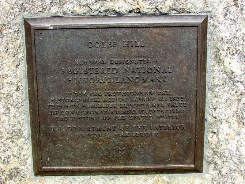
Coles Hill
Registered National
Historic Landmark
Under the provisions of the
Historic Sites Act of August 21, 1935
this site possesses exceptional value
in commemorating and illustrating
the history of the United States.
U.S. Department of the Interior
National Park Service
1961
Erected 1961 by National Park Service.
Topics. This historical marker is listed in this topic list: Notable Places.
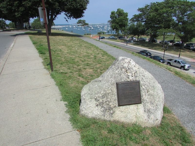
Location. 41° 57.409′ N, 70° 39.745′ W. Marker is in Plymouth, Massachusetts, in Plymouth County. Marker is on Carver Street, on the left when traveling south. Touch for map. Marker is in this post office area: Plymouth MA 02360, United States of America. Touch for directions.
Other nearby markers. At least 8 other markers are within walking distance of this marker. A different marker also named Cole’s Hill (within shouting distance of this marker); Gurnet Fortifications (within shouting distance of this marker); Plymouth Waterfront (within shouting distance of this marker); House of Isaac Doten (within shouting distance of this marker); William Bradford (within shouting distance of this marker); Joseph Tribble House (within shouting distance of this marker); First Burying Ground of Mayflower Passengers (within shouting distance of this marker); First House Built by the Pilgrims (within shouting distance of this marker). Touch for a list and map of all markers in Plymouth.
Also see . . . Massachusetts NHL Cole's Hill - National Archives Catalog.
from the Statement of Significance:(Submitted on July 2, 2023.)
"Cole's Hill rises above the curving shore of Plymouth Bay near the foot of Leyden Street, the first street laid out in the original Plymouth settlement. Here, in an abandoned cornfield, whose Indian owners had perished not long before in a mysterious epidemic, the colonists buried those, both Pilgrim and others, who died in the "general sickness" during the first grim winter of 1620-1621. According to local tradition, the dead were buried at night and the graves disguised to keep secret from the nearby Indians the dangerously weakened state of the survivors. In later years, the colonists occasionally mounted cannon on the hill to ward off possible attacks from the sea."
Credits. This page was last revised on July 3, 2023. It was originally submitted on August 25, 2017, by Bill Coughlin of Woodland Park, New Jersey. This page has been viewed 330 times since then and 16 times this year. Photos: 1, 2, 3. submitted on August 25, 2017, by Bill Coughlin of Woodland Park, New Jersey.


