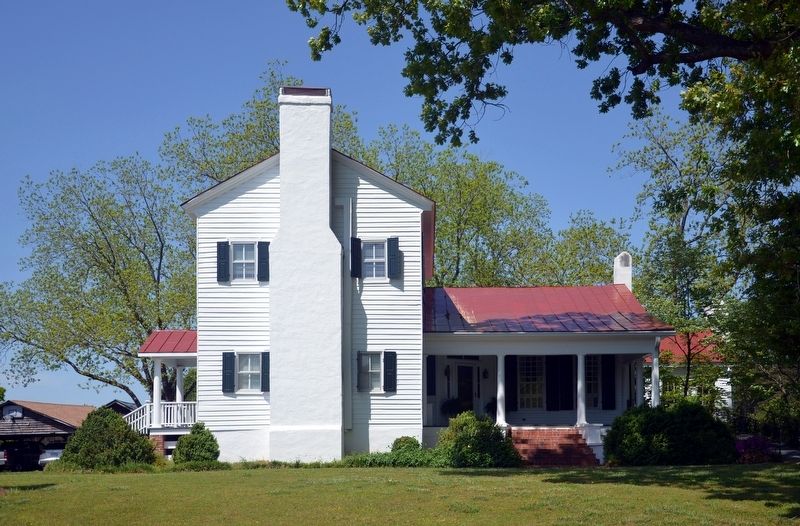
Bostwick in Morgan County, Georgia — The American South (South Atlantic)
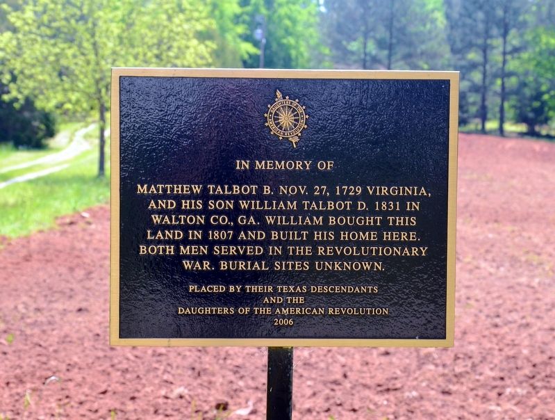
Matthew Talbot
Erected by Their Texas Descendants and the Daughters of the American Revolution.
Topics and series. This historical marker is listed in these topic lists: Patriots & Patriotism • Settlements & Settlers • War, US Revolutionary. In addition, it is included in the Daughters of the American Revolution series list.
Location. 33° 43.4′ N, 83° 33.633′ W. Marker is in Bostwick, Georgia, in Morgan County. Marker is on Hardeman Mill Road, ¼ mile north of Sandy Creek Road, on the right when traveling north. Touch for map. Marker is at or near this postal address: 1091 Hardeman Mill Road, Bostwick GA 30623, United States of America. Touch for directions.
Other nearby markers. At least 8 other markers are within 8 miles of this marker, measured as the crow flies. Fairplay (approx. 2.8 miles away); Bostwick (approx. 2.8 miles away); The Poppy Lady (approx. 3.3 miles away); Moina Michael (approx. 3.8 miles away); Mallory (approx. 4.4 miles away); Flat Rock (approx. 4.6 miles away); Hard Labor Creek State Park (approx. 4.9 miles away); Rutledge Station (approx. 7.3 miles away). Touch for a list and map of all markers in Bostwick.
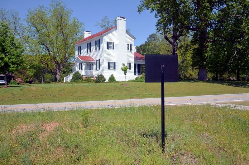
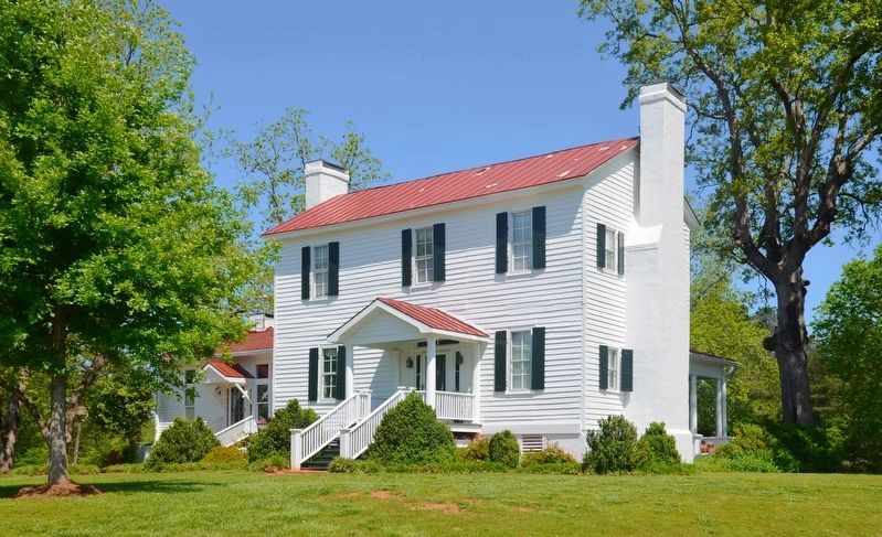
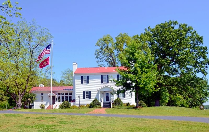
More about this marker. The marker is on the opposite side of the road from the house.
Credits. This page was last revised on August 27, 2017. It was originally submitted on August 27, 2017, by David Seibert of Sandy Springs, Georgia. This page has been viewed 556 times since then and 62 times this year. Photos: 1, 2, 3, 4, 5. submitted on August 27, 2017, by David Seibert of Sandy Springs, Georgia.
