Staunton, Virginia — The American South (Mid-Atlantic)
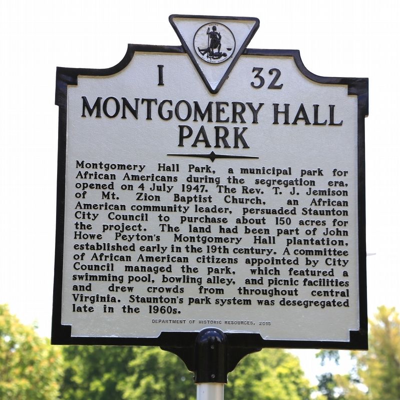
Montgomery Hall Park
Erected 2015 by Department of Historic Resources. (Marker Number I-32.)
Topics and series. This historical marker is listed in these topic lists: African Americans • Entertainment • Notable Places. In addition, it is included in the Virginia Department of Historic Resources (DHR) series list. A significant historical date for this entry is July 4, 1947.
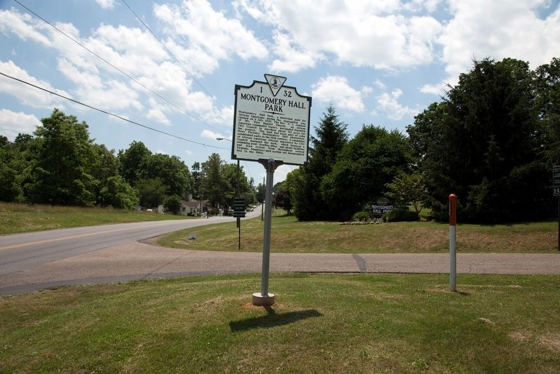
Location. 38° 8.747′ N, 79° 5.381′ W. Marker is in Staunton, Virginia. Marker is on Montgomery Avenue south of Peck and Stuart Streets. Touch for map. Marker is at or near this postal address: 1000 Montgomery Avenue, Staunton VA 24401, United States of America. Touch for directions.
Other nearby markers. At least 8 other markers are within walking distance of this marker. Augusta County Confederates Plaque (approx. half a mile away); Confederate Dead Monument - Thornrose Cemetery (approx. 0.6 miles away); Stuart Hall (approx. ¾ mile away); The Hon. Archibald Stuart (approx. 0.8 miles away); Trinity Church (approx. 0.8 miles away); Dr. Alexander Humphreys (approx. 0.8 miles away); The Wesleyan Female Institute (approx. 0.8 miles away); Central Methodist Church (approx. 0.9 miles away). Touch for a list and map of all markers in Staunton.
Also see . . . City of Staunton Parks & Recreation - Montgomery Hall Park. This page has a number of photos of the park. (Submitted on September 2, 2017.)
Credits. This page was last revised on September 2, 2017. It was originally submitted on September 2, 2017, by J. J. Prats of Powell, Ohio. This page has been viewed 365 times since then and 34 times this year. Photos: 1, 2. submitted on September 2, 2017, by J. J. Prats of Powell, Ohio.
Editor’s want-list for this marker. Photos of the park • Photos of Montgomery Hall • Can you help?

