Islip in Suffolk County, New York — The American Northeast (Mid-Atlantic)
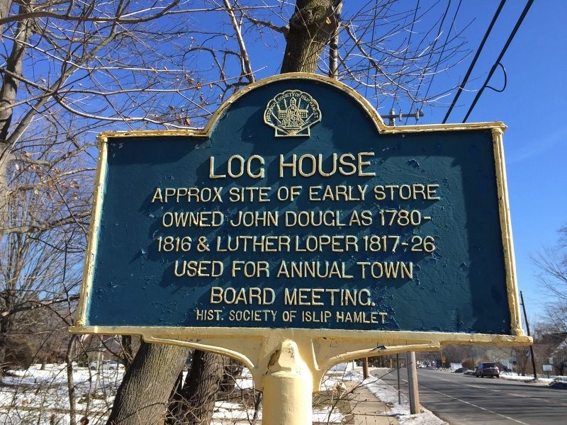
Log House
Owned John Douglas 1780-
1816 & Luther Loper 1817-1826
Used for annual town
board meeting.
Erected by Historical Society of Islip Hamlet.
Topics. This historical marker is listed in this topic list: Industry & Commerce. A significant historical year for this entry is 1816.
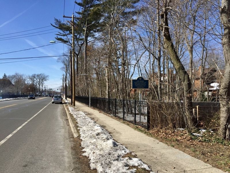
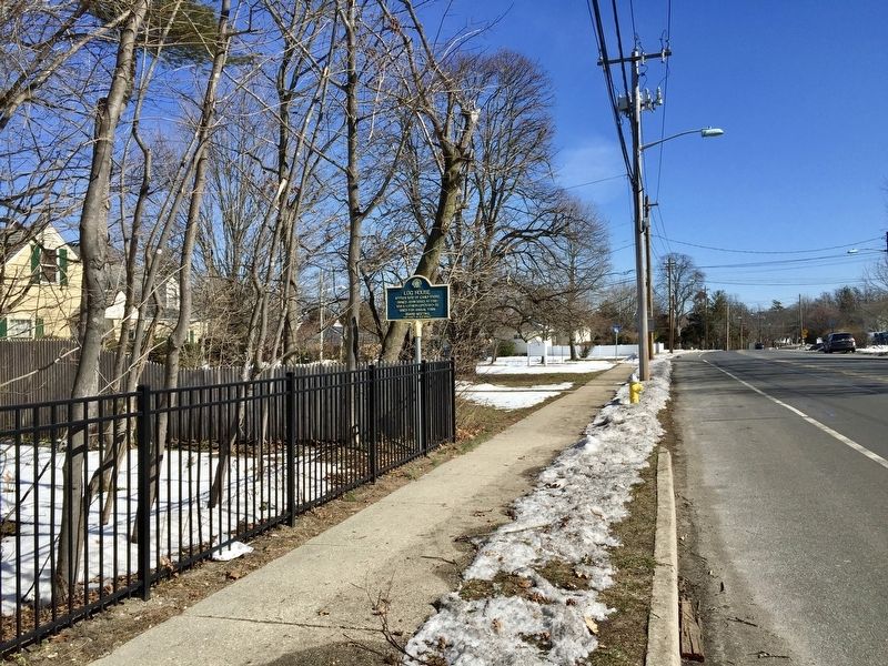
Location. 40° 43.832′ N, 73° 12.341′ W. Marker is in Islip, New York, in Suffolk County. Marker is on Main Street (Montauk Highway) east of St. Marks Lane, on the right when traveling west. Touch for map. Marker is in this post office area: Islip NY 11751, United States of America. Touch for directions.
Other nearby markers. At least 8 other markers are within walking distance of this marker. St. Mark's (about 300 feet away, measured in a direct line); Gibb Patent (approx. 0.2 miles away); Brookwood Hall (approx. ¼ mile away); Third Town Hall (approx. 0.3 miles away); Islip September 11 Memorial (approx. 0.3 miles away); Islip Veterans Memorial (approx. 0.3 miles away); Islip Depot (approx. 0.4 miles away); Historic South Bay Avenue (approx. 0.4 miles away). Touch for a list and map of all markers in Islip.
Credits. This page was last revised on September 17, 2017. It was originally submitted on September 17, 2017, by Andrew Ruppenstein of Lamorinda, California. This page has been viewed 235 times since then and 9 times this year. Photos: 1, 2, 3. submitted on September 17, 2017, by Andrew Ruppenstein of Lamorinda, California.


