Corona in Queens in Queens County, New York — The American Northeast (Mid-Atlantic)
World’s Largest Map
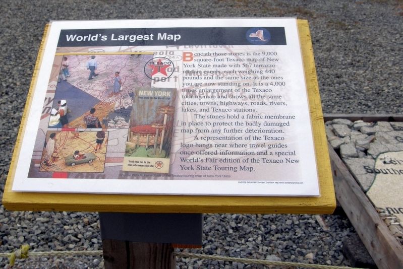
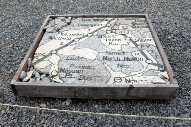
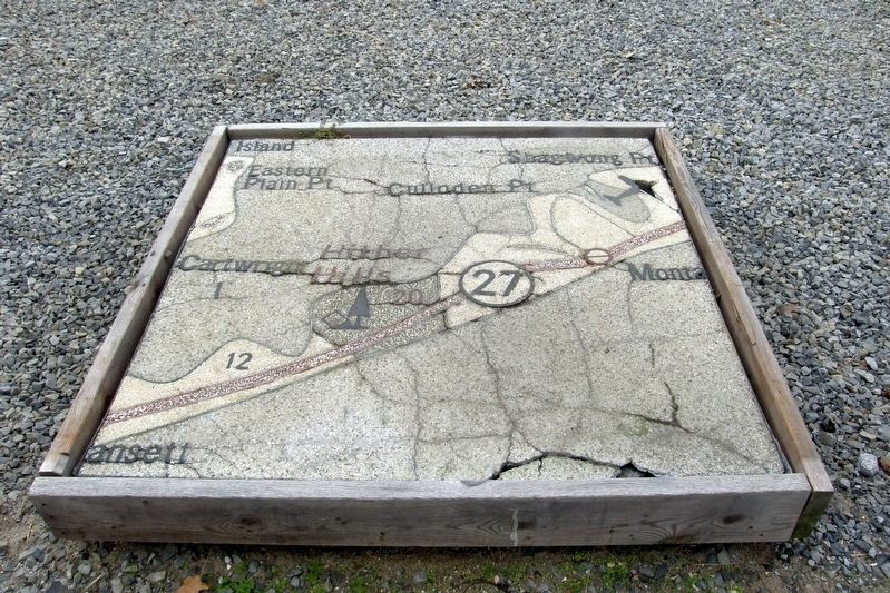
Beneath these stones is the 9,000 square-foot Texaco map of New York State made with 567 terrazzo mosaic panels, each weighing 440 pounds and the same size as the ones you are now standing on. It is a 4,000 times enlargement of the Texaco touring map and shows all the same cities, towns, highways, roads, rivers, lakes, and Texaco stations.
The stones hold a fabric membrane in place to protect the badly damaged map from further deterioration.
A representation of the Texaco logo hangs near where travel guides once offered information and a special World’s Fair edition of the Texaco New York State Touring Map.
Topics. This historical marker is listed in this topic list: Entertainment.
Location. 40° 44.611′ N, 73° 50.669′ W. Marker is in Queens, New York, in Queens County. It is in Corona. Marker can be reached from Avenue of the States south of United Nations Avenue S, on the right when traveling north. The marker is inside the 1964-5 Worlds' Fair New York State Pavilion at Flushing Meadow Park. Touch for map. Marker is in this post office area: Corona NY 11368, United States of America. Touch for directions.
Other nearby markers. At least 8 other markers are within walking distance of this marker. “Lucy Day” at the New York World’s Fair (here, next to this marker); Live Performances (here, next to this marker); Mezzanine Tour of New York State (here, next to this marker); New York State Pavilion (here, next to this marker); Skate Rental (here, next to this marker); World’s Largest Suspension Roof (here, next to this marker); Observation Towers (here, next to this marker); Remnants from the ruins (here, next to this marker). Touch for a list and map of all markers in Queens.
Also see . . . The Great Texaco Road Map (Conlab.org). One of the most popular attractions at the Pavilion’s Tent of Tomorrow was its enormous terrazzo pavement based on a Texaco road map of the state of New York. Designed by Philip Johnson Associates following ancient precedents in depicting the world as a pavement, the Pavilion’s floor celebrated a familiar icon of American pop culture-the road map. Conceived to be the largest geographic representation in the world, the pavement was also the most extensive terrazzo project ever undertaken at the time, costing approximately $1 million to complete. Rand, McNally & Company supplied the topographic information, while Texaco provided the location of each of its state gas stations. The enormous map is composed of 576 individual panels, each measuring 4’x4’, which span a total of 130’ by 166’. Each panel weighs approximately 400 pounds, creating an entire pavement weighing in at a staggering 114 tons. (Submitted on September 30, 2017.)
Additional keywords. cartography
Credits. This page was last revised on January 31, 2023. It was originally submitted on September 26, 2017, by Larry Gertner of New York, New York. This page has been viewed 257 times since then and 16 times this year. Last updated on April 15, 2020, by Larry Gertner of New York, New York. Photos: 1, 2, 3. submitted on September 26, 2017, by Larry Gertner of New York, New York. 4. submitted on October 16, 2017, by Larry Gertner of New York, New York. • Bill Pfingsten was the editor who published this page.


