Marker Logo HMdb.org THE HISTORICAL
MARKER DATABASE
“Bite-Size Bits of Local, National, and Global History”
Ortonville in Oakland County, Michigan — The American Midwest (Great Lakes)
 

Ortonville Methodist Episcopal Church


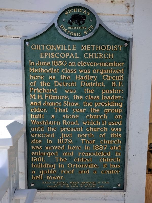
Ortonville Methodist Episcopal Church Marker image. Click for full size.
Photographed By Joel Seewald, October 5, 2017
1. Ortonville Methodist Episcopal Church Marker
Inscription. In June 1850 an eleven-member Methodist class was organized here as the Hadley Circuit of the Detroit District. B. F. Prichard was the pastor; M. H. Filmore, the class leader; and James Shaw, the presiding elder. That year the group built a stone church on Washburn Road, which it used until the present church was erected just north of this site in 1879. That church was moved here in 1887 and enlarged and remodeled in 1961. The oldest church building in Ortonville, it has a gable roof and a center bell tower.
 
Erected 1988 by Bureau of History, Michigan Department of State. (Marker Number L1066.)
 
Topics. This historical marker is listed in this topic list: Churches & Religion. A significant historical month for this entry is June 1850.
 
Location. 42° 51.21′ N, 83° 26.573′ W. Marker is in Ortonville, Michigan, in Oakland County. Marker is at the intersection of Church Street and Schoolhouse Street, on the left when traveling north on Church Street. Touch for map. Marker is at or near this postal address: 93 Church Street, Ortonville MI 48462, United States of America. Touch for directions.
 
Other nearby markers. At least 8 other markers are within 8 miles of this marker, measured as the crow flies. Ortonville World War I Memorial (about 500 feet away, measured in a direct line); Ortonville Veterans Memorial (about 600 feet away); Amos Orton's Grist Mill (approx.
Paid Advertisement
Click on the ad for more information.
Please report objectionable advertising to the Editor.
Click or scan to see
this page online
0.2 miles away); Mann School (approx. 0.2 miles away); Seymour Lake Methodist Episcopal Church (approx. 4.7 miles away); Welcome to Sutherland Nature Sanctuary (approx. 6.9 miles away); Building Clarkston History (approx. 8.1 miles away); The Nelson Clark Home (approx. 8.1 miles away). Touch for a list and map of all markers in Ortonville.
 
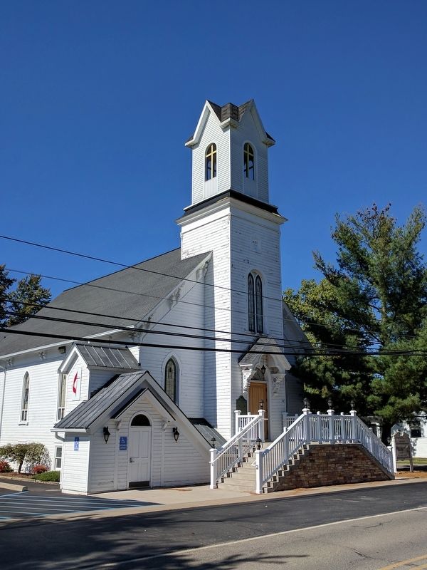
Ortonville Methodist Episcopal Church and Marker image. Click for full size.
Photographed By Joel Seewald, October 5, 2017
2. Ortonville Methodist Episcopal Church and Marker
View from the southeast.
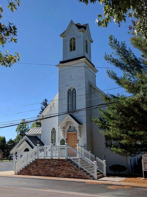
Ortonville Methodist Episcopal Church and Marker image. Click for full size.
Photographed By Joel Seewald, October 5, 2017
3. Ortonville Methodist Episcopal Church and Marker
View from the northeast.
 
 
Credits. This page was last revised on February 12, 2023. It was originally submitted on October 6, 2017, by Joel Seewald of Madison Heights, Michigan. This page has been viewed 227 times since then and 24 times this year. Photos:   1, 2, 3. submitted on October 6, 2017, by Joel Seewald of Madison Heights, Michigan.
Share this page.  
Share on Tumblr
m=108869

CeraNet Cloud Computing sponsors the Historical Marker Database.
This website earns income from purchases you make after using our links to Amazon.com. We appreciate your support.
Paid Advertisement
Apr. 26, 2024