Marker Logo HMdb.org THE HISTORICAL
MARKER DATABASE
“Bite-Size Bits of Local, National, and Global History”
Grand Canyon Village in Coconino County, Arizona — The American Mountains (Southwest)
 

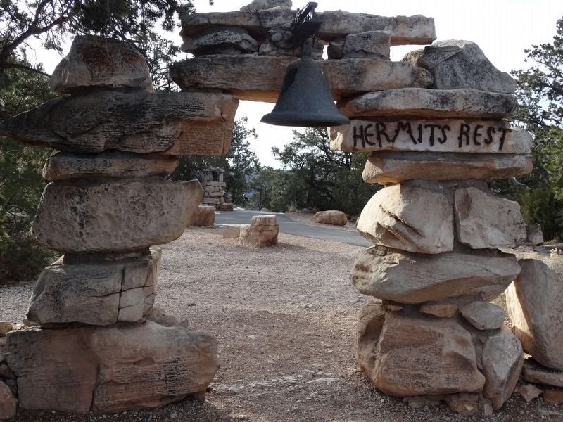
Rest House


Rest House Marker image. Click for full size.
Photographed By Denise Boose, December 9, 2016
1. Rest House Marker
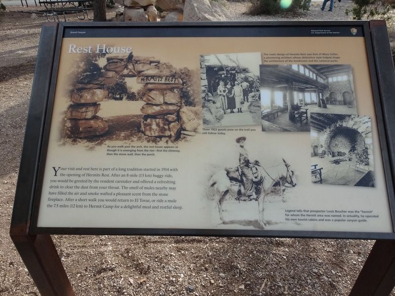
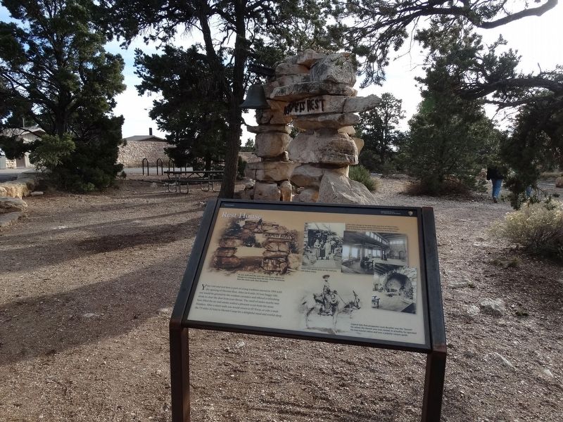
Inscription. Your visit and rest here is part of a long tradition started in 1914 with the opening of Hermits Rest. After an 8-mile (13 km) buggy ride, you would be greeted by the resident caretaker and offered a refreshing drink to clear the dust from your throat. The smell of mules nearby may have filled the air and smoke wafted a pleasant scent from the stone fireplace. After a short walk you would return to El Tovar, or ride a mule the 7.5 miles (12 km) to Hermit Camp for a delightful meal and restful sleep.
 
Erected by National Park Service, U.S. Department of the Interior.
 
Topics and series. This historical marker is listed in this topic list: Notable Places. In addition, it is included in the National Historic Landmarks series list. A significant historical year for this entry is 1914.
 
Location. 36° 3.736′ N, 112° 12.655′ W. Marker is in Grand Canyon Village, Arizona, in Coconino County. Marker is on Hermits Road, on the right when traveling south. This is at the end of Hermits Road at the entrance of Hermits Rest. Touch for map. Marker is at or near this postal address: Hermits Road, Grand Canyon AZ 86023, United States of America. Touch for directions.
 
Other nearby markers. At least 8 other markers are within 4 miles of this marker, measured as the crow flies. Hermit's Rest (here, next to this marker); A Trail, a Camp, and a "Hermit"
Paid Advertisement
Click on the ad for more information.
Please report objectionable advertising to the Editor.
Click or scan to see
this page online
(approx. 0.9 miles away); The Best Section (approx. 0.9 miles away); Hermit Camp (approx. 0.9 miles away); Down Memory Lane (approx. 1.1 miles away); Colonel Claude Hale Birdseye (approx. 3.2 miles away); Orphan Mine (approx. 3.4 miles away); Early Explorer (approx. 3.4 miles away).
 
Rest House Marker image. Click for full size.
Photographed By Denise Boose, December 9, 2016
2. Rest House Marker
Rest House Marker image. Click for full size.
Photographed By Denise Boose, December 9, 2016
3. Rest House Marker
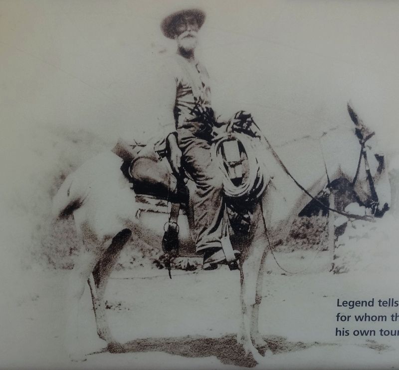
Louis Boucher image. Click for full size.
Photographed By Denise Boose, December 9, 2016
4. Louis Boucher
Legend tells that prospector Louis Boucher was the "hermit" for whom the Hermit area was named. In actuality, he operated his own tourist cabins and was a popular canyon guide.
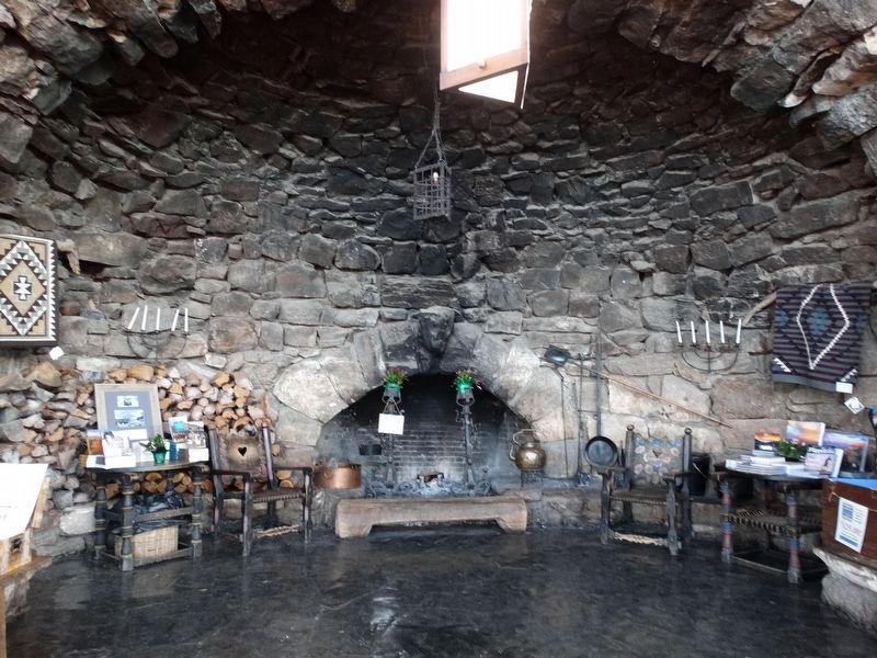
Inside the Hermist Rest House image. Click for full size.
Photographed By Denise Boose, December 9, 2016
5. Inside the Hermist Rest House
The rustice design of Hermits Rest was that of Mary Colter, a poineering architect whose distinctive style helped shape architecture of the Southwest and the national parks.
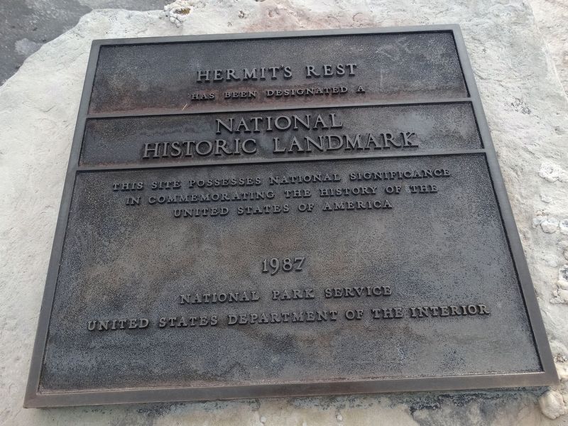
Rest House Marker image. Click for full size.
Photographed By Denise Boose, December 9, 2016
6. Rest House Marker
Hermit's Rest Has Been Designated a National Historic Landmark This site possesses national significance in Commemorating the history of the United States of America 1987 National Park Service United States Department of the Interior
 
 
Credits. This page was last revised on October 10, 2017. It was originally submitted on October 7, 2017, by Denise Boose of Tehachapi, California. This page has been viewed 240 times since then and 15 times this year. Photos:   1, 2, 3, 4, 5, 6. submitted on October 7, 2017, by Denise Boose of Tehachapi, California. • Bill Pfingsten was the editor who published this page.
Share this page.  
Share on Tumblr
m=108881

CeraNet Cloud Computing sponsors the Historical Marker Database.
This website earns income from purchases you make after using our links to Amazon.com. We appreciate your support.
Paid Advertisement
Apr. 27, 2024