Near Leadore in Lemhi County, Idaho — The American West (Mountains)
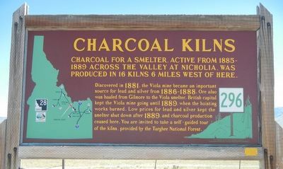
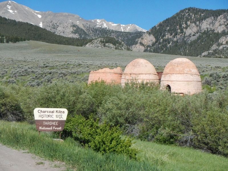
Charcoal Kilns
Discover in 1881, the Viola mine became an important source for lead and silver from 1886-1888. Ore also was hauled from Gilmore to the Viola smelter. British capital kept the Viola mine going until 1889, when the hoisting works burned. Low prices for lead and silver kept the smelter shut down after 1889, and charcoal production ceased here. You are invited to take a self-guided tour of the kilns, provided by the Targhee National Forest.
Erected by Idaho Department of Transportation. (Marker Number 296.)
Topics and series. This historical marker is listed in this topic list: Industry & Commerce. In addition, it is included in the Idaho State Historical Society series list. A significant historical year for this entry is 1885.
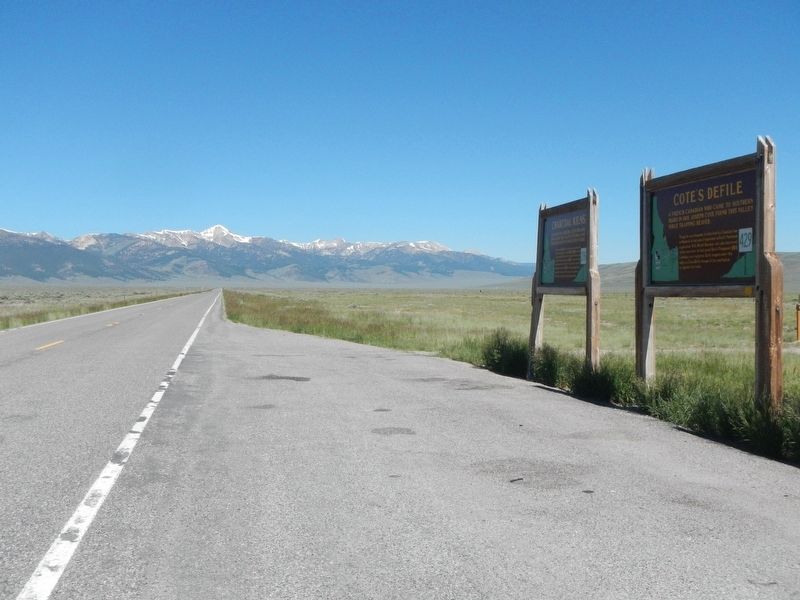
Location. 44° 19.968′ N, 113° 4.926′ W. Marker is near Leadore, Idaho, in Lemhi County. Marker is at the intersection of U.S. 28 and Forest Road 188, on the right when traveling north on U.S. 28. Touch for map. Marker is in this post office area: Leadore ID 83464, United States of America. Touch for directions.
Other nearby markers. At least 8 other markers are within 5 miles of this marker, measured as the crow flies. Cote's Defile (a few steps from this marker); Charcoal (approx. 5 miles away); Viola - The Mine (approx. 5 miles away); The Back Door (approx. 5 miles away); Kilns (approx. 5 miles away); Brick (approx. 5 miles away); Wood (approx. 5 miles away); Preserve and Protect (approx. 5.1 miles away). Touch for a list and map of all markers in Leadore.
Credits. This page was last revised on October 21, 2020. It was originally submitted on October 17, 2017, by Barry Swackhamer of Brentwood, California. This page has been viewed 321 times since then and 19 times this year. Photos: 1, 2, 3. submitted on October 17, 2017, by Barry Swackhamer of Brentwood, California.


