Near Kailua-Kona in Hawaii County, Hawaii — Hawaiian Island Archipelago (Pacific Ocean)
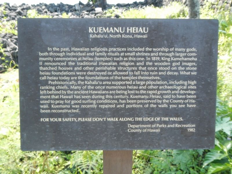
Kuemanu Heiau
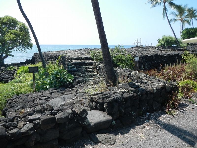
In the past, Hawaiian religious practices included the worship of many gods, both through individual and family rituals at small shrines and through larger community ceremonies at heiau (temples) such as this one. In 1819, King Kamehameha II renounced the traditional Hawaiian religion and the wooden god images, thatched houses and other perishable structures that once stood on the stone heiau foundations were destroyed or allowed to fall into ruin and decay. What we call heiau today are the foundations of the temples themselves.
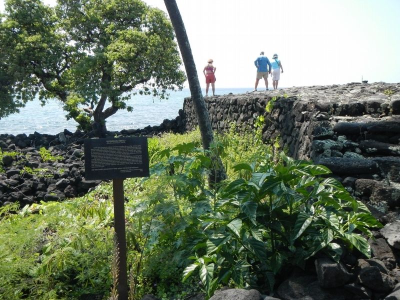
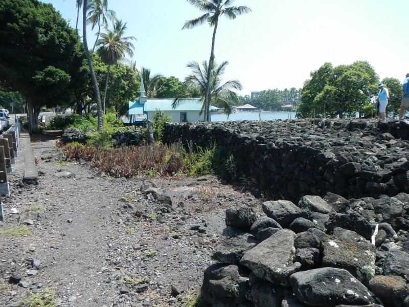
Prehistorically, the Kahalu'u area supported a large population, including high ranking chiefs. Many of the once numerous heiau and other archaeological sites left behind by the ancient Hawaiians are being lost to the rapid growth and development that Hawaii has seen during this century. Kuemanu Heiau, said to have been used to pray for good surfing conditions, has been preserved by the County of Hawaii. Kuemanu was recently repaired and portions of the walls you see have been reconstructed.
Erected 1982 by Department of Parks and Recreation, County of Hawaii.
Topics. This historical marker is listed in this topic list: Churches & Religion. A significant historical year for this entry is 1819.
Location. 19° 34.887′ N, 155° 58.023′ W. Marker is near Kailua-Kona, Hawaii, in Hawaii County. Marker is on Ali'i Drive near Makolea Street, on the right when traveling south. Touch for map. Marker is at or near this postal address: 78-6676 Ali'i Drive, Kailua Kona HI 96740, United States of America. Touch for directions.
Other nearby markers. At least 8 other markers are within 2 miles of this marker, measured as the crow flies. Hale Mua (approx. 0.6 miles away); Lonoikamakahiki Residence (approx. 0.6 miles away); Inikiwai Ku'ula Heiau (approx. ¾ mile away); Keauhou - Kahalu'u Heritage Corridor (approx. 0.9 miles away); Kauikeaouli, Kamehameha III (approx. 1.4 miles away); Birthplace of Kauikeaouli (approx. 1.4 miles away); Keauhou Bay (approx. 1.4 miles away); Kauikeaouli and Nāhi'ena'ena (approx. 1.4 miles away).
Credits. This page was last revised on December 2, 2023. It was originally submitted on November 26, 2017, by Barry Swackhamer of Brentwood, California. This page has been viewed 1,719 times since then and 186 times this year. Photos: 1, 2, 3, 4, 5. submitted on November 26, 2017, by Barry Swackhamer of Brentwood, California.
