Fluvanna in Scurry County, Texas — The American South (West South Central)
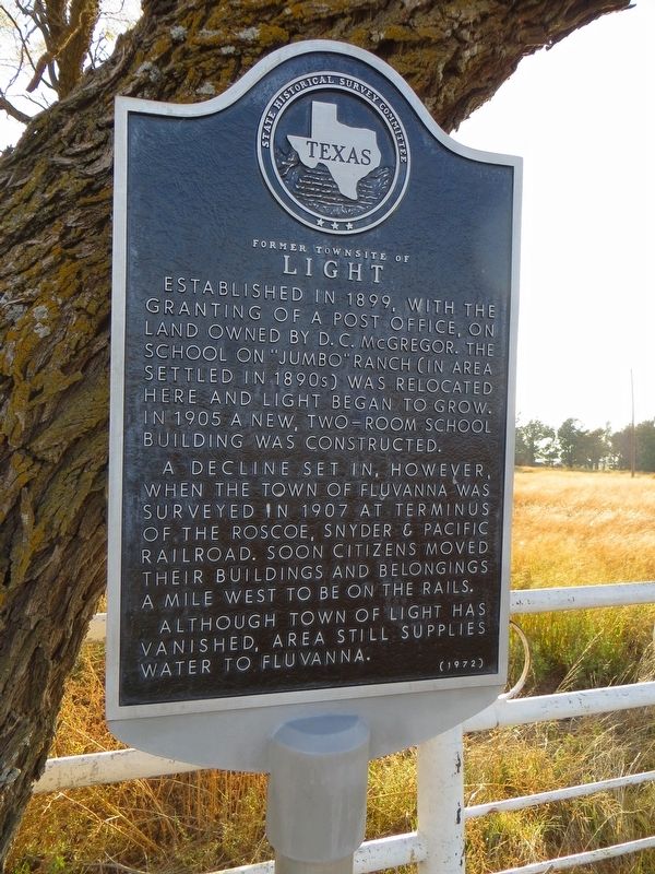
Former Townsite of Light
A decline set in, however, when the town of Fluvanna was surveyed in 1907 at terminus of the Roscoe, Snyder & Pacific Railroad. Soon citizens moved their buildings and belongings a mile west to be on the rails.
Although town of Light has vanished, area still supplies water to Fluvanna.
Erected 1972 by State Historical Survey Committee. (Marker Number 1957.)
Topics. This historical marker is listed in this topic list: Settlements & Settlers. A significant historical year for this entry is 1899.
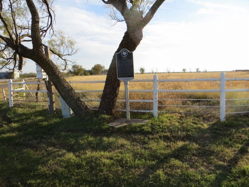
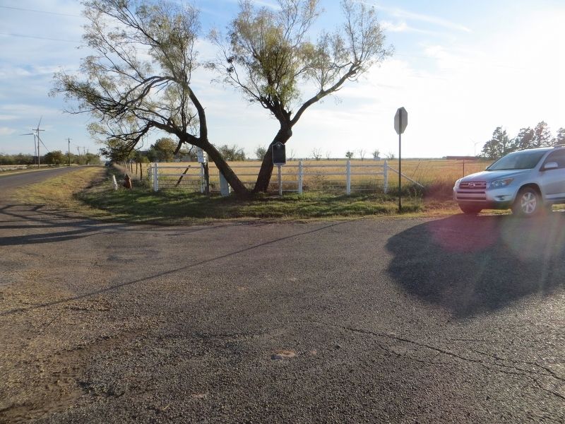
Location. 32° 53.08′ N, 101° 7.936′ W. Marker is in Fluvanna, Texas, in Scurry County. Marker is at the intersection of Farm to Market Road 2173 and Farm to Market Road 2214, on the right when traveling south on Highway 2173. Marker is on the southeast corner. Touch for map. Marker is in this post office area: Fluvanna TX 79517, United States of America. Touch for directions.
Other nearby markers. At least 8 other markers are within 14 miles of this marker, measured as the crow flies. Fluvanna Mercantile Company (approx. 0.3 miles away); Fluvanna (approx. 0.3 miles away); Site of First Presbyterian Church of Fluvanna (approx. 0.6 miles away); Dermott (approx. 6.9 miles away); Home County of Famous Frontiersmen J. Wright Mooar (approx. 8.7 miles away); The Brazos River in Justiceburg (approx. 11.7 miles away); Scurry County's Billionth Barrel of Oil (approx. 11.9 miles away); The Block 97 Controversy (approx. 13.4 miles away). Touch for a list and map of all markers in Fluvanna.
Credits. This page was last revised on November 30, 2017. It was originally submitted on November 30, 2017, by Bill Kirchner of Tucson, Arizona. This page has been viewed 306 times since then and 17 times this year. Photos: 1, 2, 3. submitted on November 30, 2017, by Bill Kirchner of Tucson, Arizona.


