Augusta in Kennebec County, Maine — The American Northeast (New England)
Strive to Excel! / Vive L'Excellence!
Inscription.
Erected by Augusta Historic Preservation Commission, Kennebec Savings Bank, and the Maine Community Foundation. (Marker Number 8.)
Topics and series. This historical marker is listed in this topic list: Industry & Commerce. In addition, it is included in the The Museum in the Streets®: Augusta, Maine series list.
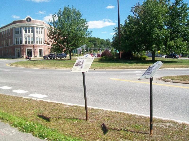
Location. Marker has been reported missing. It was located near 44° 18.994′ N, 69° 46.094′ W. Marker was in Augusta, Maine, in Kennebec County. Marker was at the intersection of Cony Street and Bangor Street (U.S. 201/202), on the right when traveling east on Cony Street. Touch for map. Marker was at or near this postal address: Cony Circle, Augusta ME 04330, United States of America. Touch for directions.
Other nearby markers. At least 8 other markers are within walking distance of this location. Riverside: Temple of Peace / Le Temple de la Paix (here, next to this marker); A Tribute to a Memorable Day / Un Anniversaire Mémorable (within shouting distance of this marker); Augusta, Maine (about 600 feet away, measured in a direct line); Sousa the nonpariel / L'incomparable Souza (about 700 feet away); Comfort Magazine / Le Magazine Comfort (about 700 feet away); First Kennebec Bridge / Le premier pont du Kennebec (approx. 0.2 miles away); Old Fort Western / Le vieux Fort Western (approx. 0.2 miles away); Birds and Fish of the Kennebec (approx. 0.2 miles away). Touch for a list and map of all markers in Augusta.
More about this marker. As of the date of the posting, Google Maps street view shows the pole but no marker, while the ITouch Maps aerial view shows the three markers side by side. When the contributor took the photo on 7/30/2017, there was no pole and no marker.
Also see . . . The Museum in the Streets Tour Map, Augusta, Maine. (Submitted on December 2, 2017, by William Fischer, Jr. of Scranton, Pennsylvania.)
Credits. This page was last revised on January 5, 2020. It was originally submitted on December 2, 2017, by William Fischer, Jr. of Scranton, Pennsylvania. This page has been viewed 178 times since then and 8 times this year. Photo 1. submitted on December 2, 2017, by William Fischer, Jr. of Scranton, Pennsylvania.
