Leakey in Real County, Texas — The American South (West South Central)
Real County
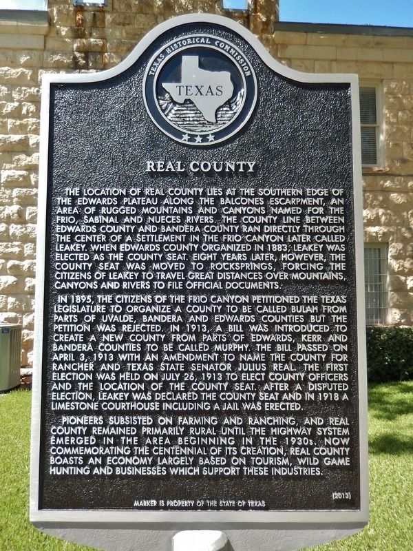
The location of Real County lies at the southern edge of the Edwards Plateau along the Balcones Escarpment, an area of rugged mountains and canyons named for the Frio, Sabinal and Nueces Rivers. The county line between Edwards County and Bandera County ran directly through the center of a settlement in the Frio Canyon later called Leakey. When Edwards County organized in 1883, Leakey was elected as the county seat. Eight years later, however, the county seat was moved to Rocksprings, forcing the citizens of Leakey to travel great distances over mountains, canyons and rivers to file official documents.
In 1895, the citizens of the Frio Canyon petitioned the Texas Legislature to organize a county to be called Bulah from parts Of Uvalde, Bandera and Edwards counties but the petition was rejected. In 1913, a bill was introduced to create a new county from parts of Edwards, Kerr and Bandera counties to be called Murphy. The bill passed on April 3, 1913 with an amendment to name the county for rancher and Texas State Senator Julius Real. The first election was held on July 26, 1913 to elect county officers and the location of the county seat. After a disputed election, Leakey was declared the county seat and in 1918 a limestone courthouse including a jail was erected.
Pioneers subsisted on farming and ranching, and Real County remained primarily rural until the highway system emerged in the area beginning in the 1930s. Now commemorating the centennial of its creation, Real County boasts an economy largely based on tourism, wild game hunting and businesses which support these industries.
Erected 2013 by Texas Historical Commission. (Marker Number 17266.)
Topics. This historical marker is listed in these topic lists: Government & Politics • Industry & Commerce • Settlements & Settlers.
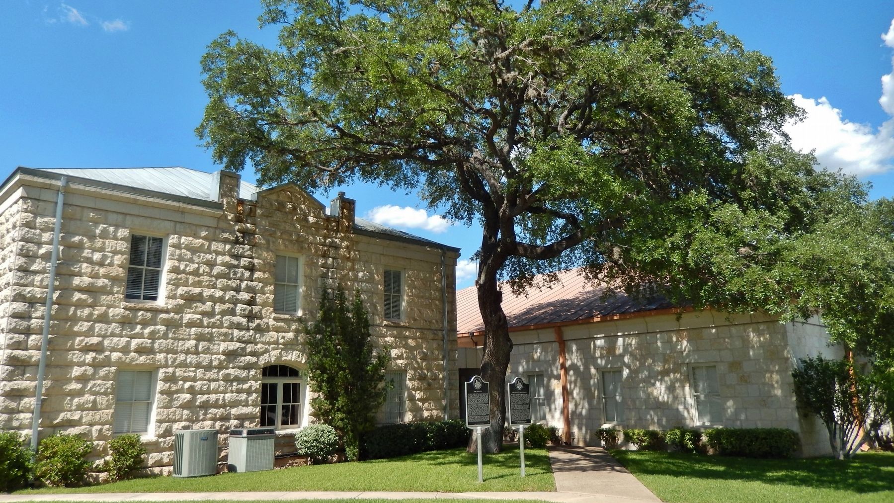
Location. 29° 43.569′ N, 99° 45.736′ W. Marker is in Leakey, Texas, in Real County. Marker is on 4th Street east of Market Street (U.S. 83), on the right when traveling west. Marker is located near the south entrance to the Real County Courthouse. Touch for map. Marker is at or near this postal address: 146 US-83, Leakey TX 78873, United States of America. Touch for directions.
Other nearby markers. At least 8 other markers are within walking distance of this marker. Real County Courthouse (here, next to this marker); a different marker also named Real County (within shouting distance of this marker); John Leakey (within shouting distance of this marker); Leakey Church of Christ (about 500 feet away, measured in a direct line); Leakey Cemetery (approx. 0.2 miles away); Catherine R. McLauren
(approx. 0.2 miles away); Leakey Methodist Church (approx. 0.2 miles away); Leakey School (approx. 0.3 miles away). Touch for a list and map of all markers in Leakey.
Related markers. Click here for a list of markers that are related to this marker.
Also see . . .
1. Real County.
In 1883 Edwards County, which included part of the area of present-day Real County, was organized. Bullhead served as the Edwards county seat from September of that year until 1884, when voters moved the seat to Leakey. The government of Edwards County remained at Leakey until April of 1891, when it was moved to Rocksprings after a disputed election. After Rocksprings was declared winner of the election, the results were contested by residents of Leakey (who themselves were accused of ballot-box stuffing). Judge Hunter, a local magistrate, organized a group of men, crossed the divide, and moved the county records from Leakey to Rocksprings during the night. In the spring of 1913 the Texas state legislature established Real County from parts of Edwards, Bandera, and Kerr counties. The action was prompted by the isolation of the area and the difficulties residents experienced traveling long distances over bad roads to Rocksprings or Bandera to conduct business. (Submitted on December 11, 2017, by Cosmos Mariner of Cape Canaveral, Florida.)
2. A Brief History of Real County.
From 1857 until 1882, the country was only sparsely settled, but pioneers began to push forward and a substantial settlement became permanently established around the old army post. Some of those living in the settlement were John Blalock, Joseph Sinclair, Bob John, Jim Rhodes, Jack Cromains, Vance Walling, Bill Welch, Y. O. Coleman, Jerry Ellis, Bart Gorman, Vince Holt, and John Arnold (for whom Arnold Crossing is named). These pioneers were in the cattle business, running Texas Longhorns. Very few sheep and goats were found here. Breeding cattle had not started then; however, a few Hereford cattle were just beginning to be introduced into the country. Up until this period much trouble was encountered by Indians stealing cattle and horses. The last Indian battle in this section of the country took place in the main Frio Canyon about seven miles above the town of Leakey on 19 April 1882. Mrs. McLarren and Allen Lease, a youth who lived with the McLarren family, were slain. (Submitted on December 11, 2017, by Cosmos Mariner of Cape Canaveral, Florida.)
Credits. This page was last revised on December 13, 2017. It was originally submitted on December 11, 2017, by Cosmos Mariner of Cape Canaveral, Florida. This page has been viewed 283 times since then and 28 times this year. Photos: 1, 2, 3. submitted on December 11, 2017, by Cosmos Mariner of Cape Canaveral, Florida. • Bernard Fisher was the editor who published this page.


