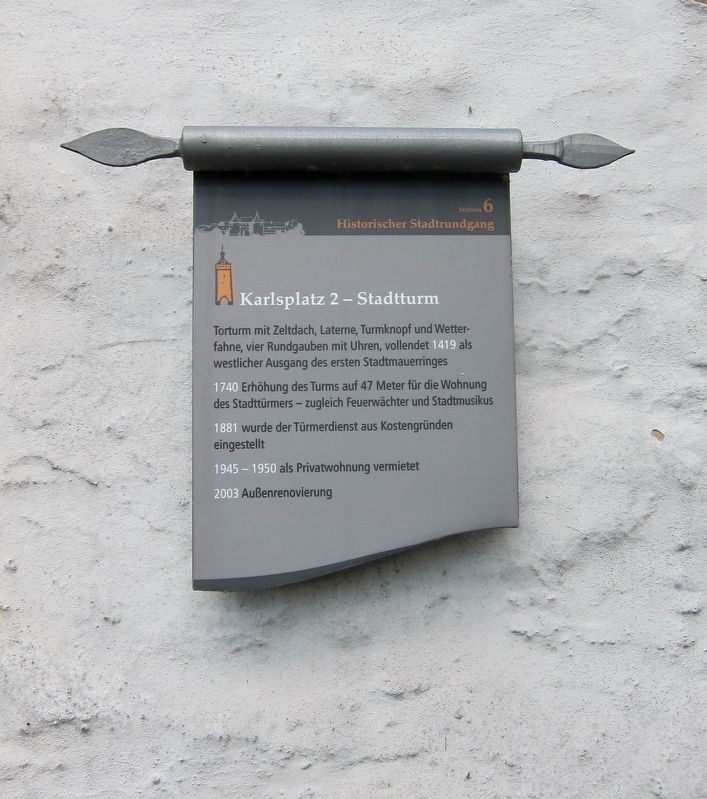
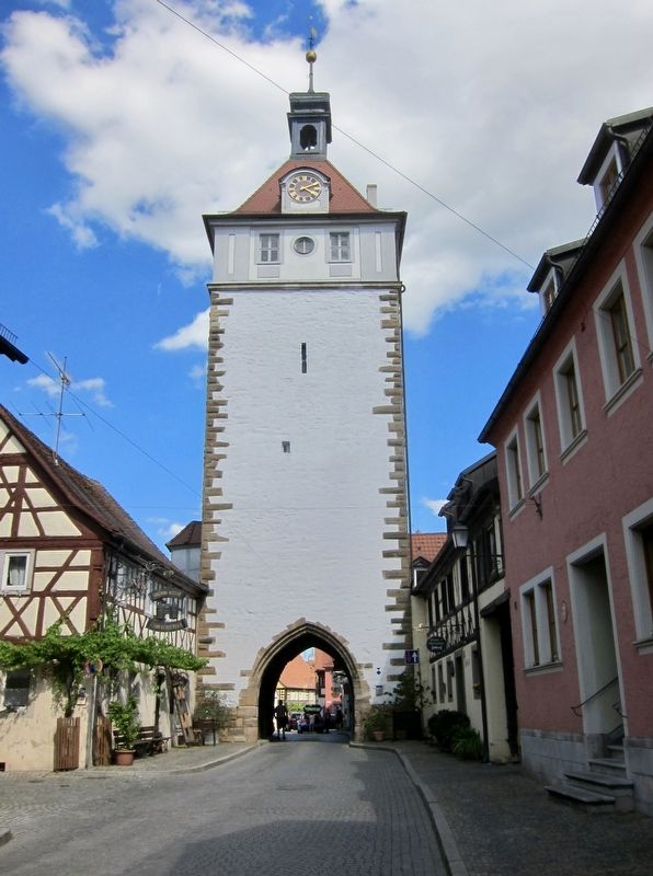
Stadtturm / City Tower
Historischer Stadtrundgang / Historical Town Walk
1740 Erhöhung des Turms auf 47 Meter für die Wohnung des Stadttürmers - zugleich Feuerwächter und Musikus
1881 wurde der Türmerdienstaus Kostengründen eingestellt
1945-50 als Privatwohnung vermietet
2003 Aussenrenovierung
[English translation:]
Gate tower with peaked roof, lantern, knob and weather vane, four clocks, completed in 1419 as the western exit of the first city wall ring.
1740 The tower is raised to 47 meters for the living quarters of the tower keepers, as well as for the fire watch and musicians
1881 Tower functions were no longer supported for reasons of cost
1945-50 The tower is rented out as a private living quarters
2003 Exterior renovation
(Marker Number 6.)
Topics. This historical marker is listed in this topic list: Forts and Castles. A significant historical year for this entry is 1419.
Location. 49°
Other nearby markers. At least 8 other markers are within walking distance of this marker. Luitpoldstrasse 5/7 (within shouting distance of this marker); Karlsplatz 7 (within shouting distance of this marker); Luitpoldstrasse 12 (within shouting distance of this marker); Karlsplatz 9 (within shouting distance of this marker); Schulinstrasse 1 (about 90 meters away, measured in a direct line); Schulinstrasse 7 (about 120 meters away); Westtor / West Gate (about 120 meters away); Synagoge / Synagogue (about 150 meters away). Touch for a list and map of all markers in Prichsenstadt.
More about this marker. This is 1 of the 22 markers that comprise a historic walking tour of the town.
Credits. This page was last revised on January 28, 2022. It was originally submitted on January 9, 2018, by Andrew Ruppenstein of Lamorinda, California. This page has been viewed 142 times since then and 4 times this year. Photos: 1, 2. submitted on January 9, 2018, by Andrew Ruppenstein of Lamorinda, California.

