Butte Falls in Jackson County, Oregon — The American West (Northwest)
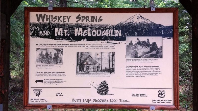
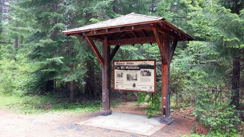
Whiskey Spring and Mt. McLoughlin
You are now in the Rogue River National Forest. Formerly called the "Crater National Forest," is was established in 1906 by President Theodore Roosevelt.
Whiskey Spring Campground, a short distance away, offers restrooms and a one-mile interpretive loop trail around a beaver pond.
Skeeter Ranger Station was built in 1911, after the big fire year of 1910. From remote cabins such as this, Forest Service fire guards patrolled the woods on horseback.
Mt. McLoughlin has been a "mountain of many names." The Takelma called it "Alwilamchaldis." The first trappers knew is as "Sastise" [or Shasta]. The name change to Mt. Pitt was the result of an early map-making error. Although many people still call it "Mt. Pitt," the name McLoughlin dates back over 150 years. It honors pioneer Dr. John McLoughlin, considered the "Father of Oregon."
Erected by BLM Medford District, Town of Butte Falls, Butte Falls Economic Development Commission, Butte Falls Ranger District.
Topics and series. This historical marker is listed in this topic list: Notable Places. In addition, it is included in the Former U.S. Presidents: #26 Theodore Roosevelt series list. A significant historical year for this entry is 1906.
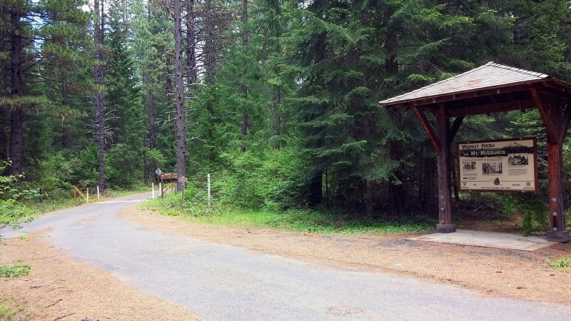
Location. 42° 29.586′ N, 122° 25.382′ W. Marker is in Butte Falls, Oregon, in Jackson County. Marker is at the intersection of Fish Lake Rd and Park Meadows Rd, on the right when traveling west on Fish Lake Rd. Touch for map. Marker is in this post office area: Butte Falls OR 97522, United States of America. Touch for directions.
Other nearby markers. At least 3 other markers are within 6 miles of this marker, measured as the crow flies. Douglas C. Ingram Memorial Tree (approx. 1.2 miles away); Butte Springs Watershed (approx. 1.7 miles away); Cat Hill (approx. 5.6 miles away).
Credits. This page was last revised on January 20, 2018. It was originally submitted on January 17, 2018, by Douglass Halvorsen of Klamath Falls, Oregon. This page has been viewed 154 times since then and 13 times this year. Photos: 1, 2, 3. submitted on January 17, 2018, by Douglass Halvorsen of Klamath Falls, Oregon. • Bill Pfingsten was the editor who published this page.


