Near Holbrook in Multnomah County, Oregon — The American West (Northwest)
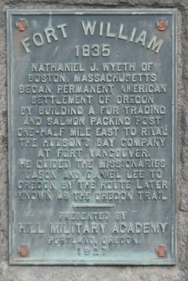
Fort William
1835
Nathaniel J. Wyeth of Boston, Massachusetts began permanent American settlement of Oregon by building a fur trading and salmon packing post one-half mile east to rival the Hudson's Bay Company at Fort Vancouver. He guided the missionaries Jason and Daniel Lee to Oregon by the route later known as the Oregon Trail
Erected 1927 by Hill Military Academy.
Topics. This historical marker is listed in these topic lists: Forts and Castles • Industry & Commerce • Settlements & Settlers.
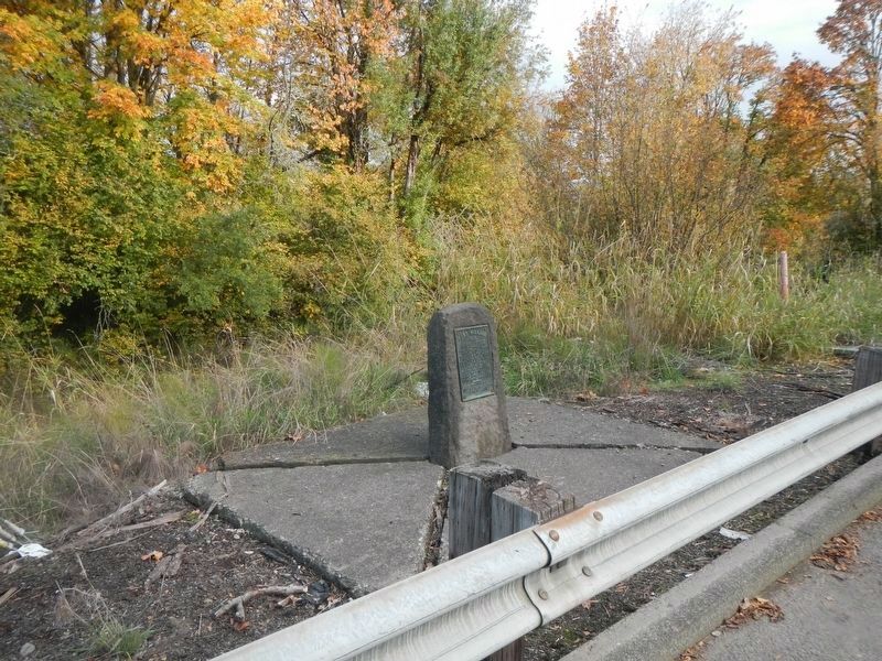
Location. 45° 40.06′ N, 122° 52.061′ W. Marker is near Holbrook, Oregon, in Multnomah County. Marker is on NorthWest Lower Columbia River Highway (U.S. 30 at milepost 14) near Northwest King Road, on the right when traveling north. Touch for map. Marker is at or near this postal address: 20000 NorthWest Lower Columbia River Highway, Portland OR 97231, United States of America. Touch for directions.
Other nearby markers. At least 8 other markers are within 10 miles of this marker, measured as the crow flies. A different marker also named Fort William (here, next to this marker); History of Scappoose (approx. 5.6 miles away); Route of Lewis and Clark National Historic Trail (approx. 5.6 miles away); Lewis and Clark on the Columbia (approx. 5.6 miles away); Thomas McKay (approx. 5.6 miles away); Joseph L. Meek (approx. 8 miles away); Covington House (approx. 9.8 miles away in Washington); Esther Short (approx. 9.8 miles away in Washington).
Also see . . . Fort William (Oregon) -- Wikipedia. Wyeth and crew attempted various commercial interests from their outpost in the Pacific Northwest. They cut lumber and exported it to the Hawaiian Islands, built boats and canoes, and built a 60-foot (18 m)-long building to use in processing fish. They intended to ship salmon to the East and to Hawaii.[2] Wyeth and his employees also attempted to trap animals in the Deschutes River watershed of central Oregon.[1] They were unsuccessful and the young company was unable to survive against the HBC and, in the Rocky Mountains, the American Fur Company, made a monopoly by John Jacob Astor. (Submitted on February 10, 2018, by Barry Swackhamer of Brentwood, California.)
Credits. This page was last revised on April 25, 2024. It was originally submitted on February 10, 2018, by Barry Swackhamer of Brentwood, California. This page has been viewed 489 times since then and 82 times this year. Photos: 1, 2. submitted on February 10, 2018, by Barry Swackhamer of Brentwood, California.

