Near Acarlar in Selçuk, İzmir, Turkey — West Asia or Southeast Europe
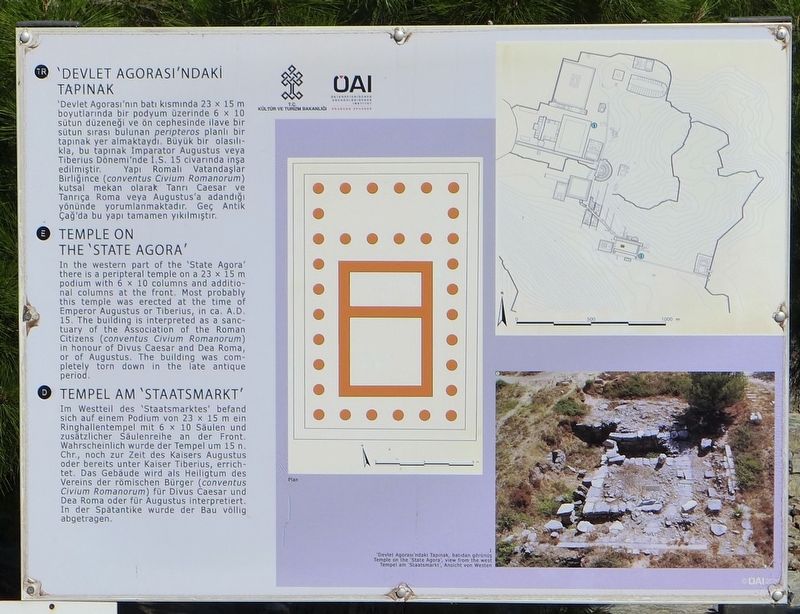
Temple on the 'State Agora'
English Text:
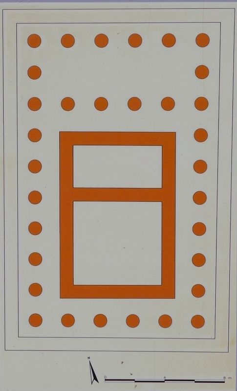
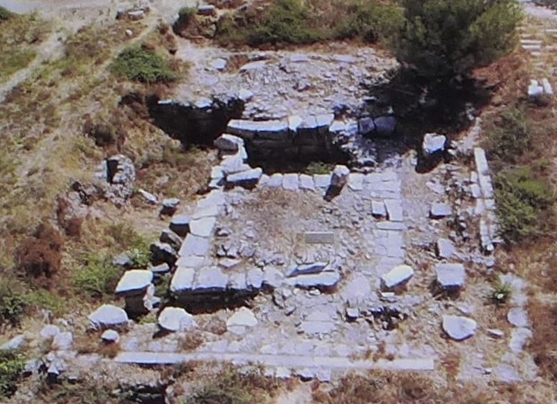
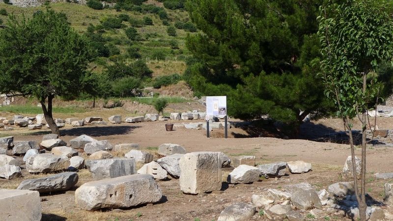
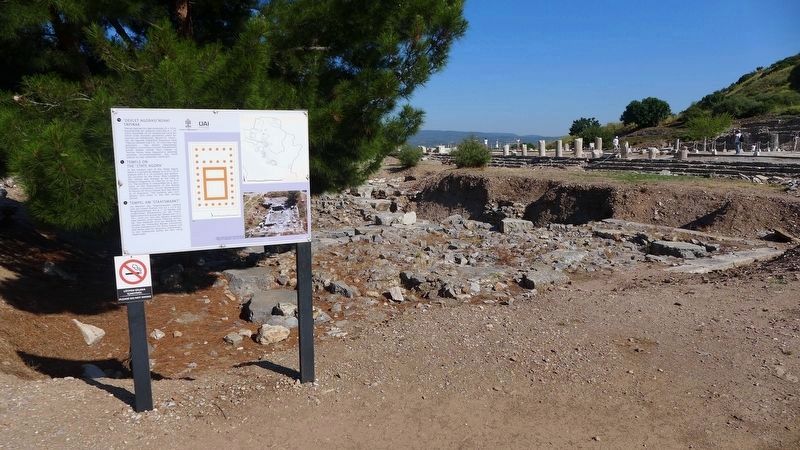
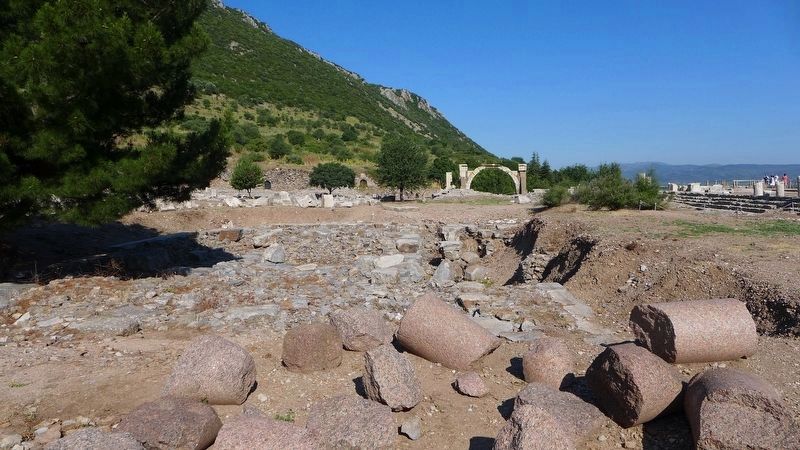
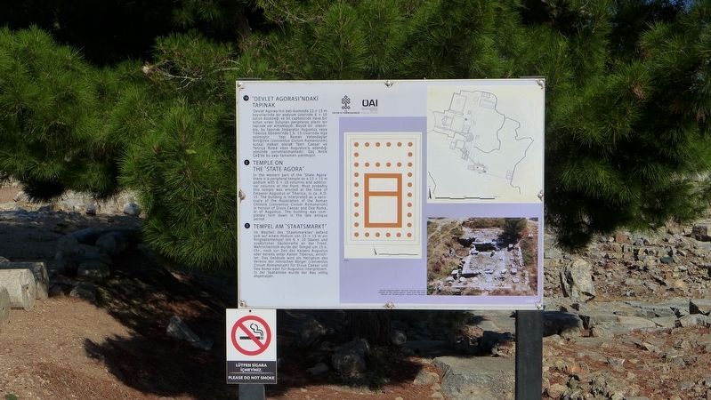
In the western part of the 'State Agora' there is a peripteral temple on a 23 x 15 m podium with 6 x 10 columns and additional columns at the front. Most probably this temple was erected at the time of Emperor Augustus or Tiberius, in ca. A.D. 15. The building is interpreted as a sanctuary of the Association of the Roman Citizens (conventus Civium Romanorum) in honor of Divus Caesar and Dea Roma, or of Augustus. The building was completely torn down in the late antique period.
Erected by Republic of Turkey Ministry of Culture and Tourism, and the Österreichisches Archaeology Institute.
Topics. This historical marker is listed in these topic lists: Churches & Religion • Settlements & Settlers.
Location. 37° 56.184′ N, 27° 20.647′ E. Marker is near Acarlar, İzmir, in Selçuk. Marker can be reached from Efes Yolu just south of Dr. Sabri Yayla Boulevard (Route D515) when traveling south. The marker is in an archaeological park that is about 3 km (2 miles) southeast of Selçuk. Touch for map. Marker is in this post office area: Acarlar, İzmir 35920, Turkey. Touch for directions.
Other nearby markers. At least 8 other markers are within walking distance of this marker. The 'Rhodian Peristyle' and The Prytaneum (within shouting distance of this marker); Hydrekdocheion (within shouting distance of this marker); The Bouleuterion (within shouting distance of this marker); The Inscriptions Museum (about 90 meters away, measured in a direct line); Pollio Monument and Fountain of Domitian (about 90 meters away); The 'State Agora' (about 90 meters away); Processional Way (about 90 meters away); Baths at the 'State Agora' (about 90 meters away). Touch for a list and map of all markers in Acarlar.
More about this marker. This marker is one of the many markers that are situated at the archaeological park that displays the ruins of the ancient city of Ephesus. One web site boasts that the ruins that one can see and experience at Ephesus are, "better than Rome itself," and although some of the artifacts found in this area have been dated back to about 6,000 BC, most of what the visitors to the archaeological park see, date back to the glory years of Greece and Rome.
Photographed By Dale K. Benington, June 21, 2015
5. Temple on the 'State Agora' Marker
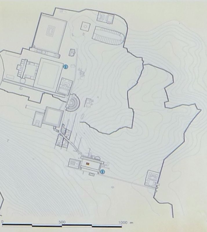
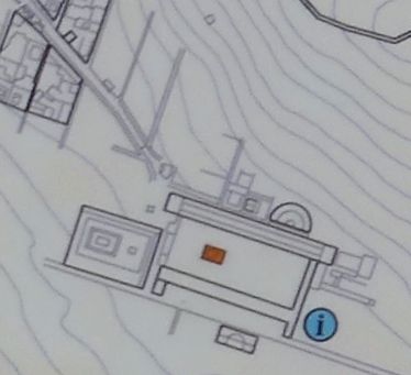
An extreme close-up view of a potion of the topographical map that is displayed on the marker. The map shows an overhead view of the layout of the city, with the location of the Temple on the 'State Agora' being highlighted in orange.
Credits. This page was last revised on February 2, 2022. It was originally submitted on March 14, 2018, by Dale K. Benington of Toledo, Ohio. This page has been viewed 152 times since then and 9 times this year. Photos: 1, 2, 3, 4, 5, 6, 7, 8, 9. submitted on March 14, 2018, by Dale K. Benington of Toledo, Ohio.
