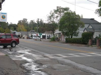
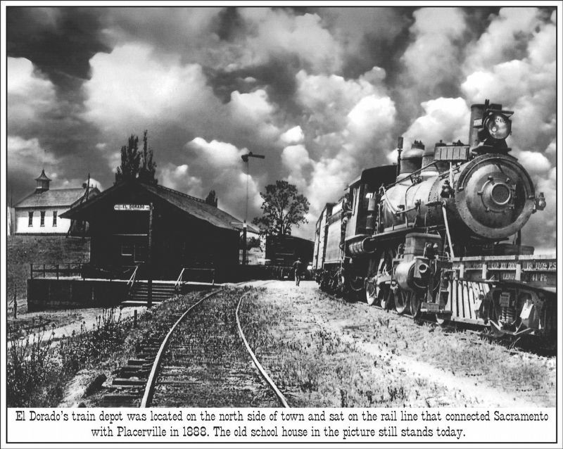
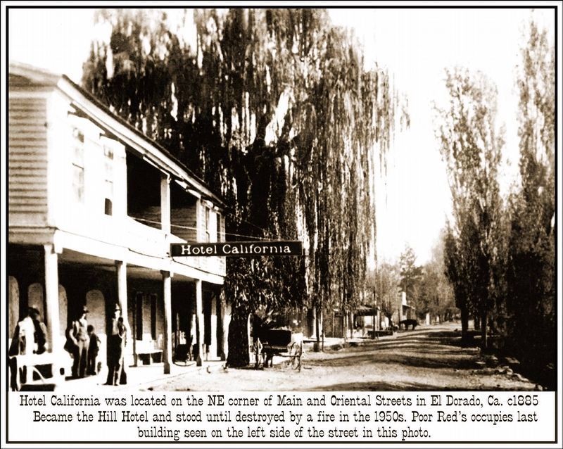
El Dorado in El Dorado County, California — The American West (Pacific Coastal)
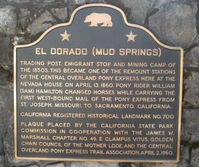
El Dorado (Mud Springs)
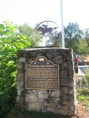
Trading post, emigrant stop, and mining camp of the 1850’s. This became one of the remount stations of the Central Overland Pony Express. Here at the Nevada House on April 13, 1860, pony rider William (Sam) Hamilton changed horses while carrying the first west-bound mail of the Pony Express from St. Joseph, Missouri, to Sacramento, California.
Erected 1960 by The California State Park Commission in cooperation with the James W. Marshall Chapter No.49, E. Clampus Vitus, Golden Chain Council of the Mother Lode, and the Central Overland Pony Express Trail Association. April 2, 1960. (Marker Number 700.)
Topics and series. This historical marker is listed in these topic lists: Communications • Industry & Commerce • Settlements & Settlers. In addition, it is included in the California Historical Landmarks, the E Clampus Vitus, and the Pony Express National Historic Trail series lists. A significant historical month for this entry is April 1827.
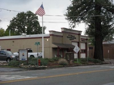
Location. 38° 40.949′ N, 120° 50.921′ W. Marker is in El Dorado, California, in El Dorado County. Marker is on Pleasant Valley Road, on the right when traveling east. Marker is next to the El Dorado Fire Station near Church Street. Touch for map. Marker is in this post office area: El Dorado CA 95623, United States of America. Touch for directions.
Other nearby markers. At least 8 other markers are within 4 miles of this marker, measured as the crow flies. El Dorado (a few steps from this marker); Hiram No.43 Masonic Building (within shouting distance of this marker); Diamond Springs (approx. 1.9 miles away); Diamond Springs I.O.O.F. No. 09 Lodge Hall (approx. 2 miles away); Odd Fellows Hall (approx. 2 miles away); Cemetery of Lost Souls (approx. 3 miles away); El Dorado County Veterans Monument (approx. 3.4 miles away); Johnson Cutoff Trail - Placerville (approx. 3.9 miles away). Touch for a list and map of all markers in El Dorado.
Regarding El Dorado (Mud Springs). This site is a California Registered Historical Landmark (No.700)
Related markers. Click here for a list of markers that are related to this marker. Follow the first Eastbound journey of the Pony Express through California to Genoa, Nevada....To better understand the relationship, study each marker in the order shown.
Also see . . .
1. When the Pony Express was in Vogue. Virtual Museum of San Francisco website entry (Submitted on September 18, 2008, by Syd Whittle of Mesa, Arizona.)
2. The Pony Express. Gold Rush Chronicles website entry (Submitted on September 18, 2008, by Syd Whittle of Mesa, Arizona.)
3. El Dorado. The Virtual California Gold Country website entry (Submitted on September 18, 2008, by Syd Whittle of Mesa, Arizona.)
Additional keywords. Gold Rush
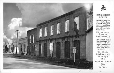
Photographed By Frasher Foto, circa 1948
6. Bank - Store - Office
El Dorado County
California
Was first named Mud Springs because of the muddy condition of the waters used for watering stock.
On State Highway 49
Through the
Mother Lode
Credits. This page was last revised on April 4, 2022. It was originally submitted on September 18, 2008, by Syd Whittle of Mesa, Arizona. This page has been viewed 3,221 times since then and 63 times this year. Photos: 1, 2. submitted on September 18, 2008, by Syd Whittle of Mesa, Arizona. 3. submitted on November 2, 2008, by Syd Whittle of Mesa, Arizona. 4. submitted on September 18, 2008, by Syd Whittle of Mesa, Arizona. 5. submitted on November 2, 2008, by Syd Whittle of Mesa, Arizona. 6. submitted on October 12, 2010, by Syd Whittle of Mesa, Arizona. 7, 8. submitted on February 27, 2019, by Stephen McLendon of Placerville, Calif.
