Coaldale in Esmeralda County, Nevada — The American Mountains (Southwest)
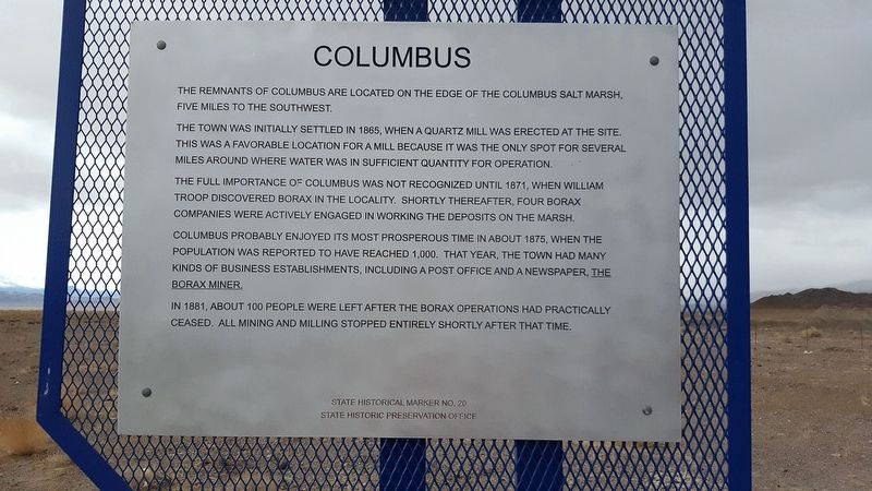
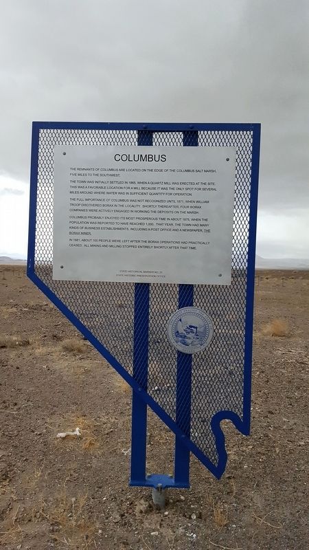
Columbus
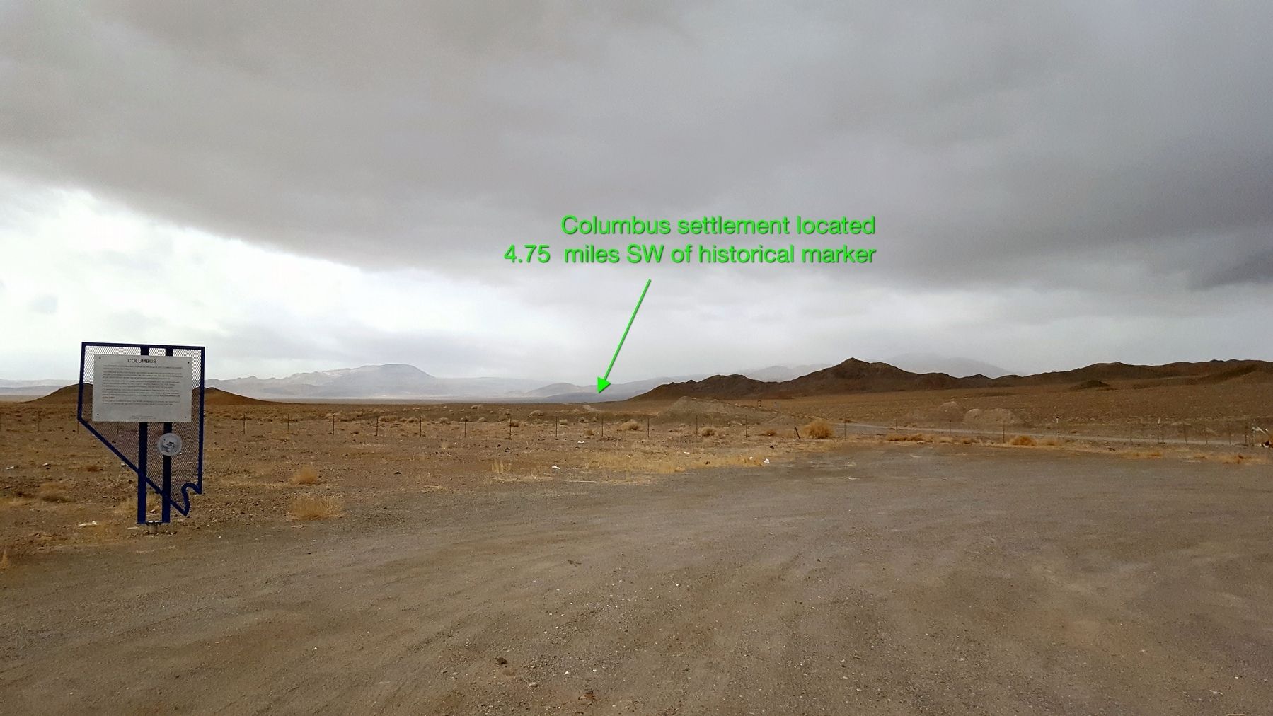
The remnants of Columbus are located on the edge of the Columbus salt marsh, five miles to the southwest.
The town was initially settled in 1865, when a quartz mill was erected at the site. This was a favorable location for a mill, because it was the only spot for several miles around where water was in sufficient quantity for operation.
The full importance of Columbus was not recognized until 1871, when William Troop discovered borax in the locality. Shortly thereafter, four borax companies were actively engaged in working the deposits on the marsh.
Columbus probably enjoyed its most prosperous time in about 1875, when the population was reported to have reached 1,000. That year, the town had many kinds of business establishments, including a post office and a newspaper, The Borax Miner.
In 1881, about 100 people were left after the borax operations had practically ceased. All mining and milling stopped entirely shortly after that time.
Erected by State Historic Preservation Office. (Marker Number 20.)
Topics. This historical marker is listed in these topic lists: Industry & Commerce • Settlements & Settlers. A significant historical year for this entry is 1865.
Location. 38° 8.953′ N, 117° 56.877′ W. Marker is in Coaldale, Nevada, in Esmeralda County. Marker is on Veterans Memorial Hwy (U.S. 95), on the right when traveling south. Touch for map. Marker is in this post office area: Tonopah NV 89049, United States of America. Touch for directions.
Other nearby markers. At least 3 other markers are within 13 miles of this marker, measured as the crow flies. Candelaria and Metallic City (approx. 5 miles away); Rhodes Marsh (approx. 11.7 miles away); Silver Peak (approx. 13 miles away).
More about this marker. This historical marker is listed as 'missing' on the Nevada State Historic Preservation Office website but has been replaced recently.
Regarding Columbus. All that remains of Columbus are a few rock foundations to buildings and a cemetery just off a dirt road southwest of the historical marker.
Credits. This page was last revised on March 3, 2024. It was originally submitted on April 3, 2018, by Douglass Halvorsen of Klamath Falls, Oregon. This page has been viewed 190 times since then and 29 times this year. Last updated on February 2, 2024, by Sierra Burkhart of San Diego, California, United States. Photos: 1, 2, 3. submitted on April 3, 2018, by Douglass Halvorsen of Klamath Falls, Oregon. • Devry Becker Jones was the editor who published this page.


