Old Sacramento in Sacramento County, California — The American West (Pacific Coastal)
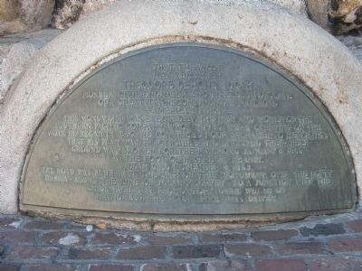
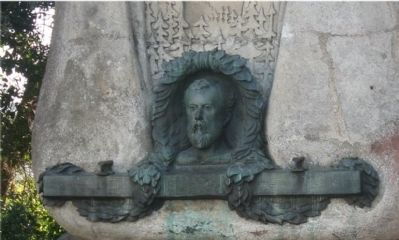
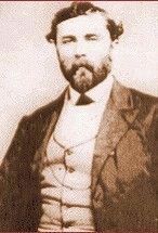
Theodore Dehone Judah
That The West May Remember
— America’s First —
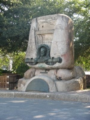
This monument was erected by the men and women of the Southern Pacific Company, who, in 1930, were carrying on the work he began in 1860. He convinced four Sacramento merchants that his plan was practical and enlisted their help. Ground was broken for the railroad January 8, 1863.
Judah died November 2, 1863.
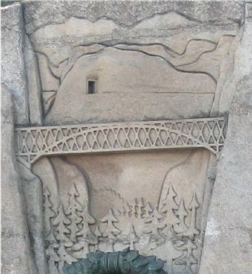
The road was built past the site of this monument. Over the lofty Sierra – along the line of Judah’s survey – to a junction with the Union Pacific at Promontory, Utah, where on May 10, 1869, the “last spike” was driven.
Topics. This historical marker is listed in these topic lists: Industry & Commerce • Railroads & Streetcars. A significant historical date for this entry is January 8, 1834.
Location. 38° 34.855′ N, 121° 30.297′ W. Marker is in Sacramento, California, in Sacramento County. It is in Old Sacramento. Marker is at the intersection of 2nd Street and L Street, on the right when traveling north on 2nd Street. Touch for map. Marker is in this post office area: Sacramento CA 95814, United States of America. Touch for directions.
Other nearby markers. At least 8 other markers are within walking distance of this marker. Sacramento Engine Company No. 3 (about 300 feet away, measured in a direct line); Early Native Americans (about 400 feet away); Early Explorers (about 400 feet away); The Arrival of Sutter (about 400 feet away); The Gold Rush Begins (about 400 feet away); Sacramento’s Strategic Location (about 400 feet away); The Birth of the City (about 400 feet away); The Infant City (about 500 feet away). Touch for a list and map of all markers in Sacramento.
Also see . . .
1. Theodore Judah - Railroad Pioneer. Central Pacific Railroad Photographic History Museum entry (Submitted on September 24, 2008, by Syd Whittle of Mesa, Arizona.)
2. Theodore Judah. Wikipedia biography (Submitted on March 13, 2021, by Larry Gertner of New York, New York.)
Additional commentary.
1. From The Memoirs of Mrs. Anna Judah
“Everything he did from the time he went to California to the day of his death was for the great continental Pacific railway. Time, money, brains, strength, body and soul were absorbed. It was the burden of his thought day and night, largely of his conversation, till it used to be said “Judah’s Pacific Railroad crazy.” And I would say, “Theodore, those people don’t care,”… He’d Laugh and say, “But we must keep the ball rolling.”
— Submitted December 19, 2008, by Syd Whittle of Mesa, Arizona.
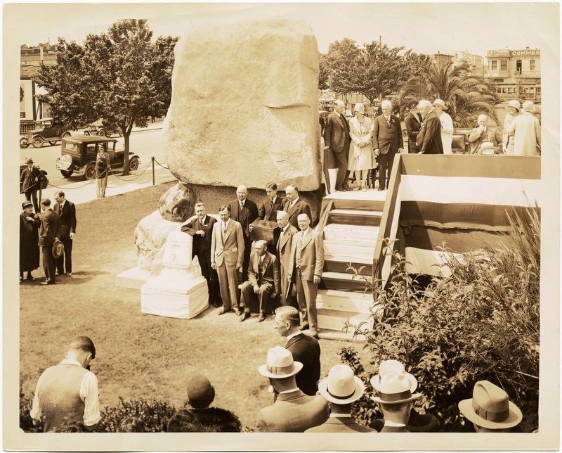
Photo courtesy of the California State Railroad Museum, February 25, 1931
6. Ceremony at the Theodore Dehone Judah monument
"A monument to Theodore Dehone Judah, first Chief Engineer of the Central Pacific Railroad, was erected in a Sacramento municipal park opposite the Southern Pacific station. The artist is John A. MacQuarrie (1871-1944). The cornerstone was laid April 25, 1930 and the completed monument unveiled February 25, 1931. The monument was later moved into storage during the construction of Interstate 5 and eventually placed in Old Sacramento at the corner of Second and L Streets."
Credits. This page was last revised on February 7, 2023. It was originally submitted on September 24, 2008, by Syd Whittle of Mesa, Arizona. This page has been viewed 2,225 times since then and 68 times this year. Photos: 1, 2, 3, 4. submitted on September 24, 2008, by Syd Whittle of Mesa, Arizona. 5. submitted on September 25, 2008, by Syd Whittle of Mesa, Arizona. 6. submitted on January 23, 2020.
