Main/Military Plaza in San Antonio in Bexar County, Texas — The American South (West South Central)
Plaza de Armas
(Military Plaza)
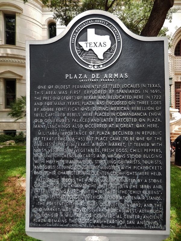
One of oldest permanently settled locales in Texas, this area was first explored by Spaniards in 1691. The Presidio (Fort) of Bexar was relocated here in 1772 and for many years, Plaza was enclosed on three sides by adobe fortifications. During Mexican rebellion of 1813, captured rebels were placed in Comandancia (now old Governor's Palace) and later executed on Plaza. Many lynchings also occurred at a great oak here.
Military importance of Plaza declined in Republic of Texas Era (1836-45) but place came to be one of the liveliest spots in Texas. A busy market, it teemed with noisy vendors of vegetables, fresh eggs, chili peppers, and live chickens. Oxcarts and wagons stood bulging with hay, hides, and wood. Strolling guitarists, tourists, and girls selling songbirds mingled with pickpockets and other characters. Frequently cock fights were held.
After the 1850s, the Plaza was dominated by a stone courthouse (nicknamed the "Bat Cave"). In the 1880s and later, leading merchants here were the "Chili Queens", who dispensed pungent Mexican food at open air stands.
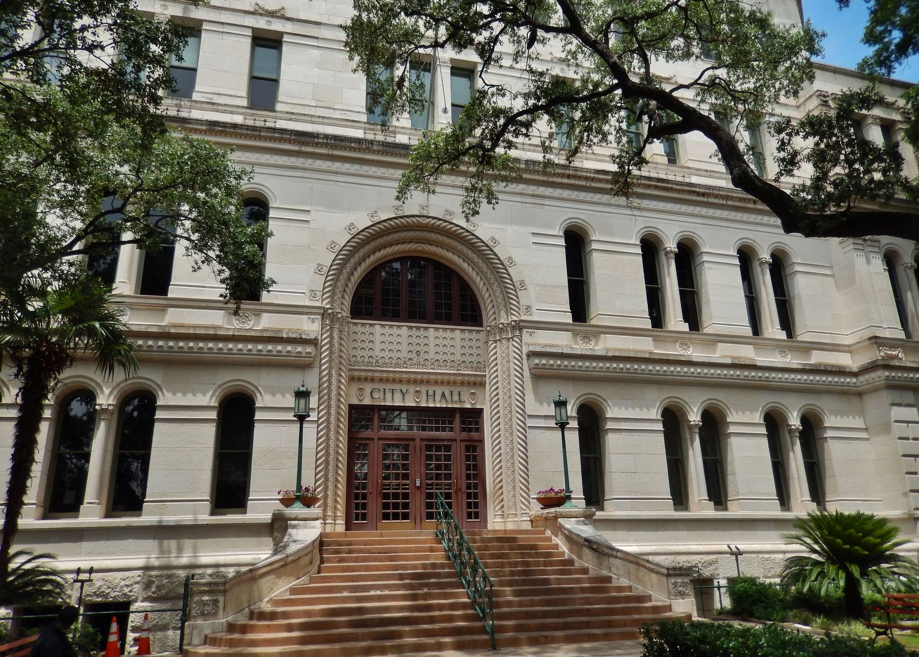
The present City Hall was completed in 1892, and the old market was moved several blocks west. Although no longer a military or commercial center, ancient plaza remains the municipal heart of San Antonio.
Erected 1971 by State Historical Survey Committee. (Marker Number 4046.)
Topics. This historical marker is listed in this topic list: Settlements & Settlers. A significant historical year for this entry is 1691.
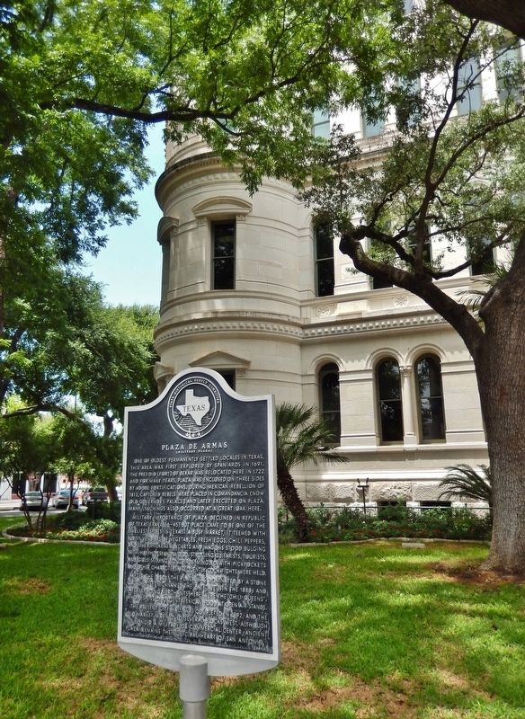
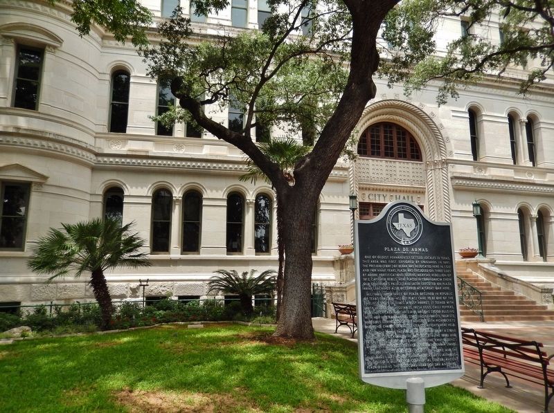
Location. 29° 25.47′ N, 98° 29.691′ W. Marker is in San Antonio, Texas, in Bexar County. It is in Main/Military Plaza. Marker is on Military Plaza north of Dolorosa, on the right when traveling south. Marker is located by the sidewalk, near the San Antonio City Hall main entrance on Military Plaza. Touch for map. Marker is at or near this postal address: 100 Military Plaza, San Antonio TX 78205, United States of America. Touch for directions.
Other nearby markers. At least 8 other markers are within walking distance of this marker. Flood of the Century (within shouting distance of this marker); Zero Milestone Old Spanish Trail (within shouting distance of this marker); Barbed Wire (within shouting distance of this marker); Growth of a City (within shouting distance of this marker); Moses Austin (within shouting distance of this marker); Still on Patrol (within shouting distance of this marker); Remains of the Alamo Heroes (about 300 feet away, measured in a direct line); San Fernando Cathedral 200th Anniversary (about 300 feet away). Touch for a list and map of all markers in San Antonio.
Related markers. Click here for a list of markers that are related to this marker. Presidio San Antonio de Béjar
Also see . . . Main and Military Plaza. City of San Antonio Office of Historic Preservation website entry (Submitted on February 6, 2024, by Larry Gertner of New York, New York.)
Credits. This page was last revised on February 6, 2024. It was originally submitted on June 2, 2018, by Cosmos Mariner of Cape Canaveral, Florida. This page has been viewed 1,154 times since then and 152 times this year. Photos: 1, 2, 3, 4. submitted on June 2, 2018, by Cosmos Mariner of Cape Canaveral, Florida. • Andrew Ruppenstein was the editor who published this page.


