Near Franklin in Robertson County, Texas — The American South (West South Central)
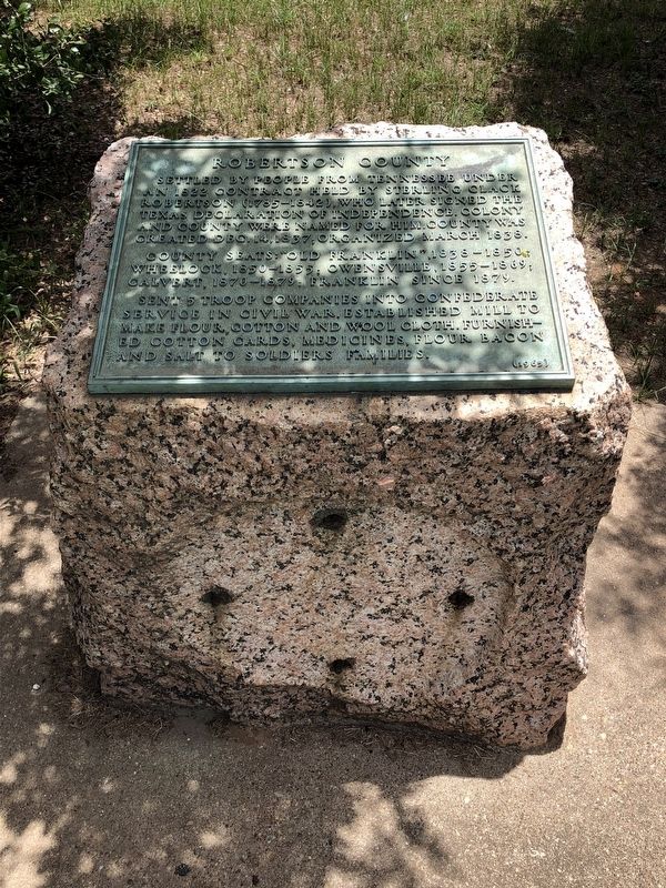
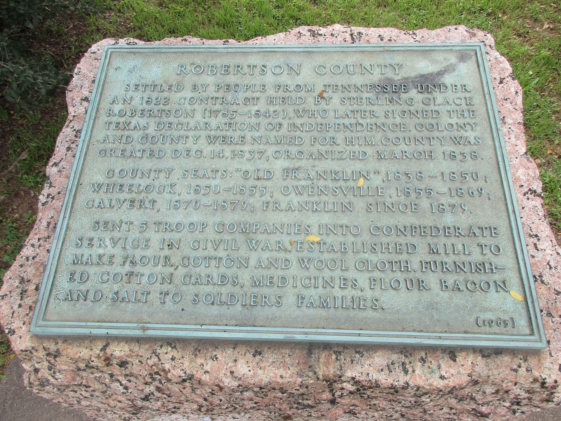
Robertson County
County seats: "Old Franklin", 1838-1850; Wheelock, 1850-1855; Owensville, 1855-1869; Calvert, 1870-1879; Franklin, since 1879.
Sent 5 troop companies into Confederate service in Civil War. Established mill to make flour, cotton and wool cloth. Furnished cotton cards, medicines, flour, bacon and salt to soldiers families.
Erected 1936 by Texas Highway Department. (Marker Number 16082.)
Topics and series. This historical marker is listed in this topic list: Settlements & Settlers. In addition, it is included in the Texas 1936 Centennial Markers and Monuments series list. A significant historical date for this entry is December 14, 1837.
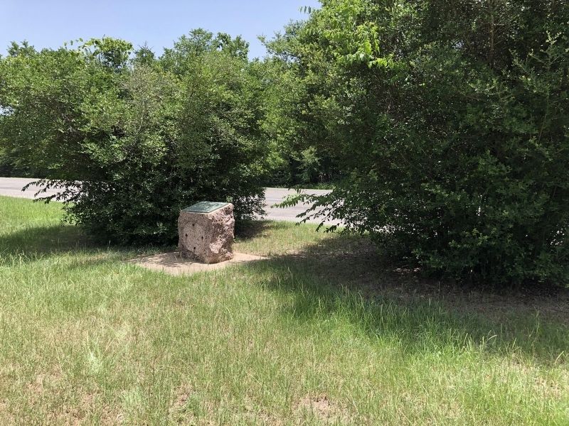
Location. 31° 2.189′ N, 96° 28.019′ W. Marker is near Franklin, Texas, in Robertson County. Marker is on U.S. 79, 1.3 miles east of Farm to Market Road 46, on the right when traveling west. Marker is located in a roadside park approximately 1 mile east of Franklin. Touch for map. Marker is in this post office area: Franklin TX 77856, United States of America. Touch for directions.
Other nearby markers. At least 8 other markers are within 12 miles of this marker, measured as the crow flies. Franklin Carnegie Library (approx. 1.2 miles away); Robertson County Courthouse (approx. 1.4 miles away); Franklin (approx. 1.4 miles away); New Baden (approx. 2.4 miles away); Old Franklin (approx. 3.7 miles away); Wheelock (approx. 10.4 miles away); a different marker also named Wheelock (approx. 10.4 miles away); Kings Highway Camino Real — Old San Antonio Road (approx. 11.4 miles away). Touch for a list and map of all markers in Franklin.
More about this marker. The marker was originally placed in 1936 as part of the Texas Centennial Highway Marker series. It was restored in 1965 with revised text.
Also see . . . Robertson County - The Handbook of Texas Online. Texas State Historical Association (TSHA) (Submitted on July 2, 2018, by Brian Anderson of Humble, Texas.)
Credits. This page was last revised on April 2, 2023. It was originally submitted on July 2, 2018, by Brian Anderson of Humble, Texas. This page has been viewed 288 times since then and 46 times this year. Photos: 1. submitted on July 2, 2018, by Brian Anderson of Humble, Texas. 2. submitted on April 2, 2023, by Jeff Leichsenring of Garland, Texas. 3. submitted on July 2, 2018, by Brian Anderson of Humble, Texas. • Andrew Ruppenstein was the editor who published this page.


