Louisiana State University & Surrounding Area
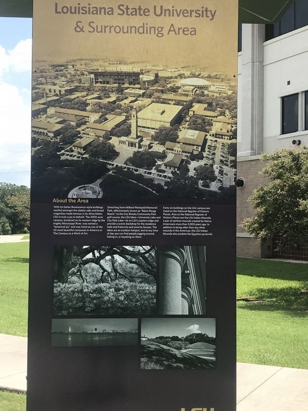
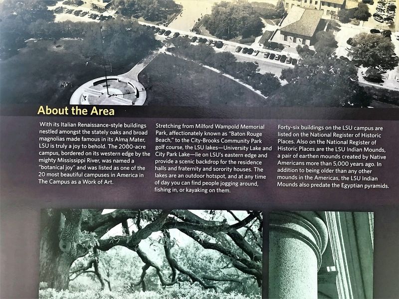
With its Italian Renaissance-style buildings nestled amongst the stately oaks and broad magnolias made famous in its Alma Mater, LSU is truly a joy to behold. The 2000-acre campus, bordered on its western edge by the mighty Mississippi River, was named a "botanical joy” and was listed as one of the 20 most beautiful campuses in America in The Campus as a Work of Art.
Stretching from Milford Wampold Memorial Park, affectionately known as "Baton Rouge Beach,” to the City-Brooks Community Park golf course, the LSU lakes-University Lake and City Park Lake-lie on LSU's eastern edge and provide a scenic backdrop for the residence halls and fraternity and sorority houses. The lakes are an outdoor hotspot, and at any time of day you can find people jogging around, fishing in, or kayaking on them.
Forty-six buildings on the LSU campus are
listed on the National Register of Historic
Places. Also on the National Register of
Historic Places are the LSU Indian Mounds,
a pair of earthen mounds created by Native
Americans more than 5,000 years ago. In
addition to being older than any other
mounds in the Americas, the LSU Indian
Mounds also predate the Egyptian pyramids.
Topics. This historical marker is listed in this topic list: Education.
Location.
Other nearby markers. At least 8 other markers are within walking distance of this marker. University Lakes & Bird Sanctuary (here, next to this marker); Albert Florestan Aucoin (approx. 0.2 miles away); Joseph Onieda Lopez (approx. 0.2 miles away); Philogene Joseph de Favrot (approx. 0.2 miles away); Francoise Gerard (approx. 0.2 miles away); Henri Bouvier Favrot (approx. 0.2 miles away); Luis Estevan Favrot (approx. 0.2 miles away); Madame Anne Marie Renée Aimé Douézan (approx. 0.2 miles away). Touch for a list and map of all markers in Baton Rouge.
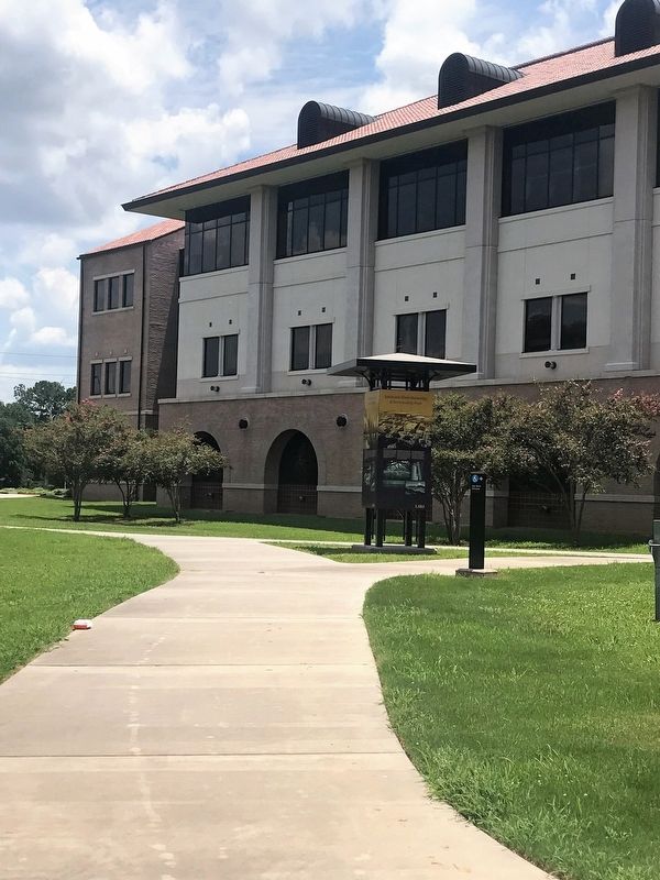
More about this marker. Located at the LSU Emerging Technology Center
Credits. This page was last revised on February 12, 2023. It was originally submitted on July 17, 2018, by Cajun Scrambler of Assumption, Louisiana. This page has been viewed 155 times since then and 9 times this year. Photos: 1, 2, 3. submitted on July 17, 2018.


