Wayne County Seminary
Old School Site on the National Road
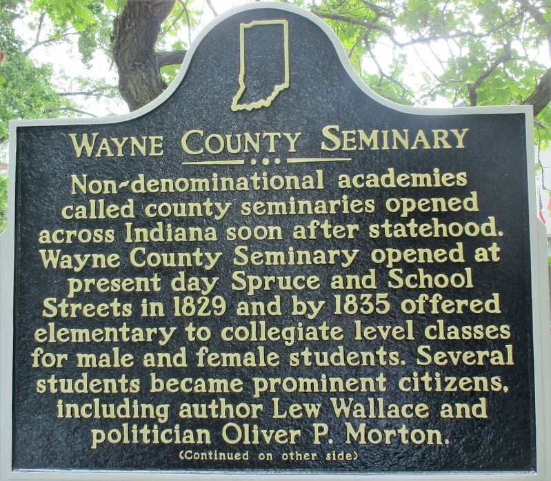
Non-denominational academies called county seminaries opened across Indiana soon after statehood. Wayne County Seminary opened at present day Spruce and School Streets in 1829 and by 1835 offered elementary to collegiate level classes for male and female students. Several students became prominent citizens, including author Lew Wallace and politician Oliver P. Morton.
(continued on other side)
Side B
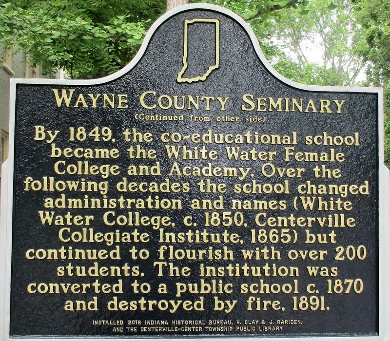
(continued from other side)
By 1849, the co-educational school became the White Water Female College and Academy. Over the following decades the school changed administration and names (White Water College, c. 1850, Centerville Collegiate Institute, 1865) but continued to flourish with over 200 students. The institution was converted to a public school c. 1870 and destroyed by fire, 1891.
Erected 2018 by Indiana Historical Bureau, H. Clay & J. Rariden, and the Centerville-Center Township Public Library. (Marker Number 89.2018.1.)
Topics. This historical marker is listed in this topic list: Education. A significant historical year for this entry is 1829.
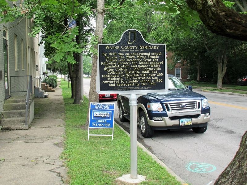
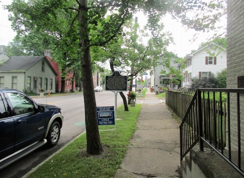
Location. 39° 49.059′ N, 84° 59.886′ W. Marker is in Centerville, Indiana, in Wayne County. Marker is at the intersection of Old National Road (U.S. 40) and Spruce Street,
Other nearby markers. At least 8 other markers are within walking distance of this marker. The Stencil House 1820 (here, next to this marker); Early Masonic Hall (within shouting distance of this marker); Oliver P. Morton Home (about 600 feet away, measured in a direct line); Honor Roll (about 700 feet away); Pike Towns (approx. 0.2 miles away); Old Salisbury Court House (approx. 0.2 miles away); Mansion House (approx. 0.2 miles away); John Scott, 1793 (?)-1838 (approx. 0.2 miles away). Touch for a list and map of all markers in Centerville.
Additional keywords. National Road
Credits. This page was last revised on July 20, 2018. It was originally submitted on July 17, 2018, by Rev. Ronald Irick of West Liberty, Ohio. This page has been viewed 190 times since then and 23 times this year. Photos: 1, 2, 3, 4. submitted on July 17, 2018, by Rev. Ronald Irick of West Liberty, Ohio. • Andrew Ruppenstein was the editor who published this page.


