Danevang in Wharton County, Texas — The American South (West South Central)
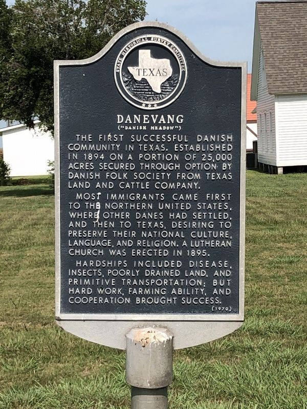
Danevang
("Danish Meadow")
The first successful Danish community in Texas. Established in 1894 on a portion of 25,000 acres secured through option by Danish Folk Society from Texas Land and Cattle Company.
Most immigrants came first to the northern United States, where other Danes had settled, and then to Texas, desiring to preserve their national culture, language, and religion. A Lutheran church was erected in 1895.
Hardships included disease, insects, poorly drained land, and primitive transportation; but hard work, farming ability, and cooperation brought success.
Erected 1970 by State Historical Survey Committee. (Marker Number 1163.)
Topics. This historical marker is listed in this topic list: Settlements & Settlers. A significant historical year for this entry is 1894.
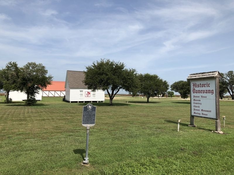
Location. 29° 2.606′ N, 96° 12.469′ W. Marker is in Danevang, Texas, in Wharton County. Marker is on State Highway 71 north of County Road 426, on the right when traveling north. Touch for map. Marker is in this post office area: Danevang TX 77432, United States of America. Touch for directions.
Other nearby markers. At least 8 other markers are within 11 miles of this marker, measured as the crow flies. Ansgar Evangelical Lutheran Church and Cemetery (approx. 0.2 miles away); Danevang Lutheran Church (approx. ¼ mile away); Danevang Pioneer Monument (approx. ¼ mile away); Danevang Community Hall (approx. ¼ mile away); Clemville (approx. 5.3 miles away); Midfield Cemetery (approx. 6.7 miles away); Midfield Methodist Church (approx. 7.1 miles away); Deming’s Bridge Community (approx. 10.1 miles away). Touch for a list and map of all markers in Danevang.
Also see . . . Danevang, TX - The Handbook of Texas Online. Texas State Historical Association (TSHA) (Submitted on July 22, 2018, by Brian Anderson of Humble, Texas.)
Credits. This page was last revised on November 29, 2020. It was originally submitted on July 22, 2018, by Brian Anderson of Humble, Texas. This page has been viewed 286 times since then and 34 times this year. Photos: 1, 2. submitted on July 22, 2018, by Brian Anderson of Humble, Texas. • Andrew Ruppenstein was the editor who published this page.

