Near Alto in Cherokee County, Texas — The American South (West South Central)
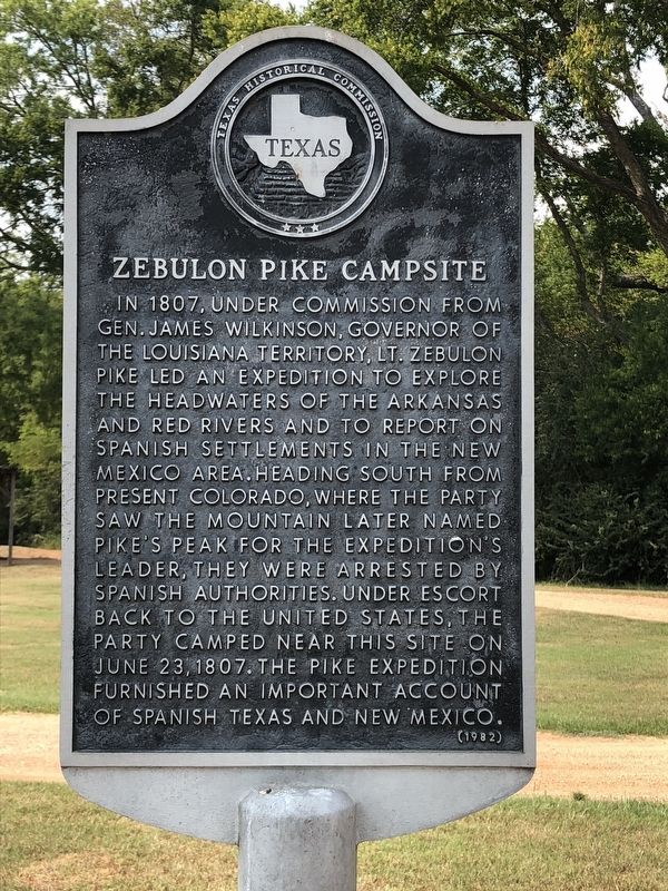
Zebulon Pike Campsite
Erected 1982 by Texas Historical Commission. (Marker Number 6962.)
Topics. This historical marker is listed in this topic list: Exploration. A significant historical date for this entry is June 23, 1807.
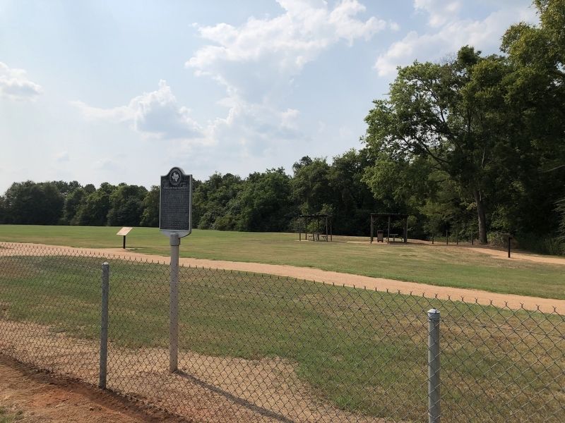
Location. 31° 35.94′ N, 95° 9.05′ W. Marker is near Alto, Texas, in Cherokee County. Marker is on County Road 2907, 0.4 miles west of State Highway 21, on the right when traveling west. Marker is located in the El Camino Real De Los Tejas section of Caddo Mounds State Historic Site. Touch for map. Marker is at or near this postal address: 1649 State Highway 21 West, Alto TX 75925, United States of America. Touch for directions.
Other nearby markers. At least 8 other markers are within walking distance of this marker. El Camino Real de los Tejas (a few steps from this marker); Famous and Infamous Journeys (a few steps from this marker); A Welcome Rest (about 300 feet away, measured in a direct line); Waystation for Travelers and Traders (about 400 feet away); Travel Encounters (about 500 feet away); Burial Mound (about 500 feet away); Natural Spring (approx. 0.2 miles away); Low Platform Mound (approx. ¼ mile away). Touch for a list and map of all markers in Alto.
Also see . . . Pike, Zebulon Montgomery - The Handbook of Texas Online. Texas State Historical Association (TSHA) (Submitted on August 8, 2018, by Brian Anderson of Humble, Texas.)
Credits. This page was last revised on August 8, 2018. It was originally submitted on August 7, 2018, by Brian Anderson of Humble, Texas. This page has been viewed 448 times since then and 28 times this year. Photos: 1, 2. submitted on August 8, 2018, by Brian Anderson of Humble, Texas. • Andrew Ruppenstein was the editor who published this page.

