Rocks to Rockets
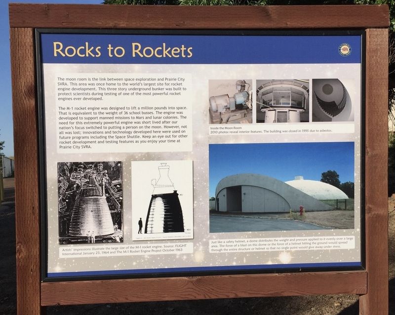
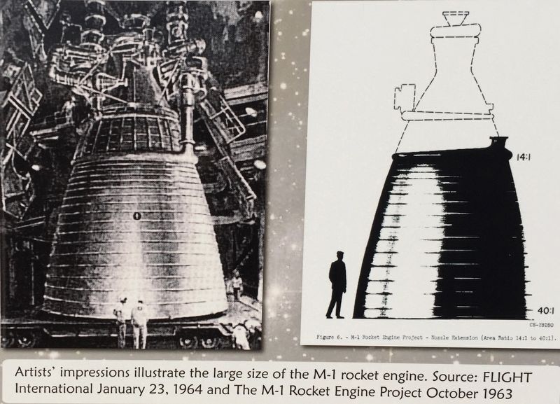
The M-1 rocket engine was designed to lift a million pounds into space That is equivalent to the weight of 36 school busses. The engine was developed to support manned missions to Mars and lunar colonies. The need for this extremely powerful engine was short lived after our nation's focus switched to putting a person on the moon. However, not all was lost; innovations and technology developed here were used on future programs including the Space Shuttle. Keep an eye out for other rocket development and testing features as you enjoy your time at Prairie City SVRA.
Topics. This historical marker is listed in this topic list: Air & Space.
Location. 38° 35.516′ N, 121° 9.62′ W. Marker is in Rancho Cordova, California, in Sacramento County. Marker is on White Rock Road. Touch for map. Marker is at or near this postal address: 13300 White Rock Road, Rancho Cordova CA 95742, United States of America. Touch for directions.
Other nearby markers. At least 8 other markers are within 6 miles of this marker, measured as the crow flies. Prairie City (approx. 3.6 miles away); Prairie City Cemetery (approx. 3.6 miles away); The Coloma Road (approx. 4.2 miles away); Heroes in the Sky (approx. 4.3
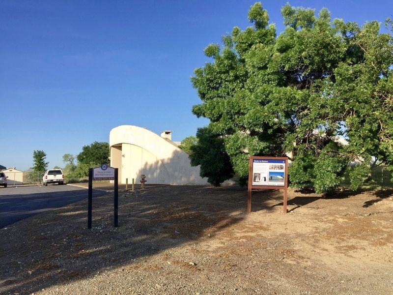
More about this marker. The marker is located on the grounds of Prairie City State Vehicle Recreational Area (SVRA). From White Rock Road, follow the signs to the park entrance (~0.3 miles). There is a day use fee payable at the entrance. Note that if you are not actually going to be using the park facilities (i.e., just looking at this marker and then leaving), you probably will not be charged the day use fee if you tell them this. From the park entrance, keep going south (straight) approximately .4 miles to the flat track area or distict office, where the marker is located.
Also see . . . M-1 (rocket engine) (Wikipedia). (Submitted on August 8, 2018.)
Credits. This page was last revised on August 8, 2018. It was originally submitted on August 8, 2018, by Andrew Ruppenstein of Lamorinda, California. This page has been viewed 293 times since then and 19 times this year. Photos: 1, 2, 3, 4. submitted on August 8, 2018, by Andrew Ruppenstein of Lamorinda, California.


