Mojave in Kern County, California — The American West (Pacific Coastal)
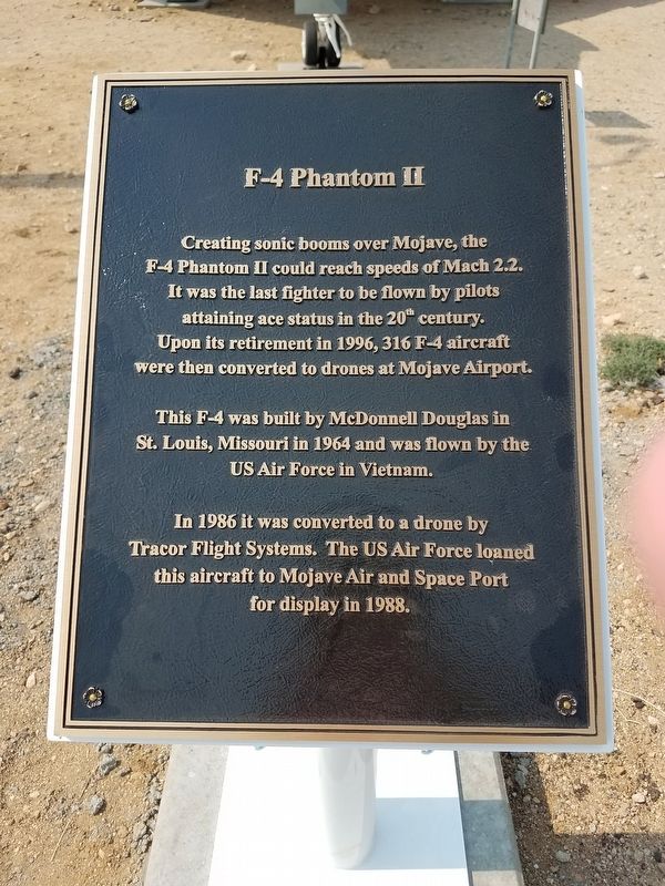
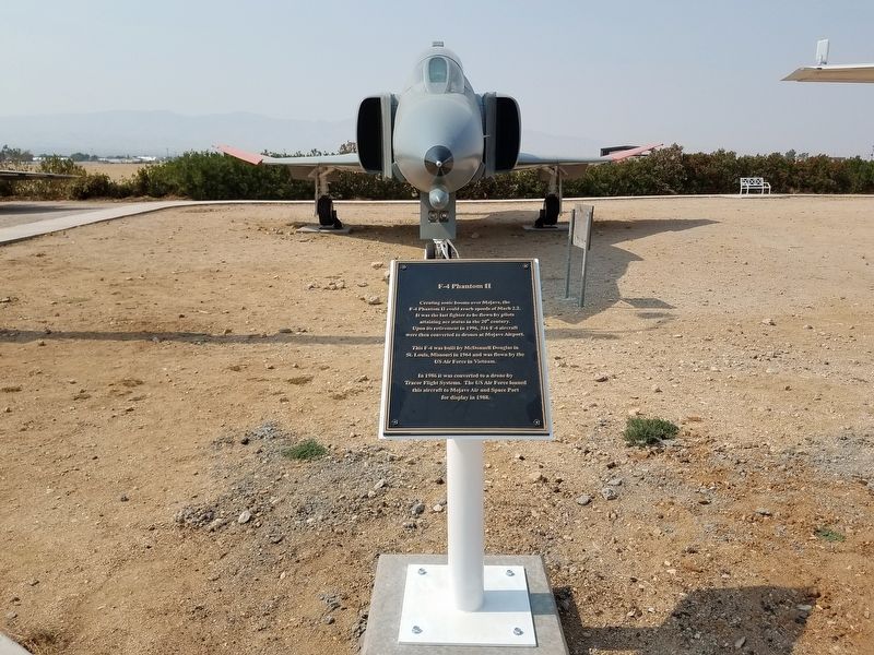
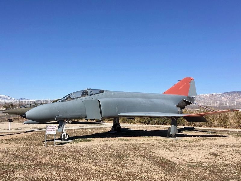
F-4 Phantom II
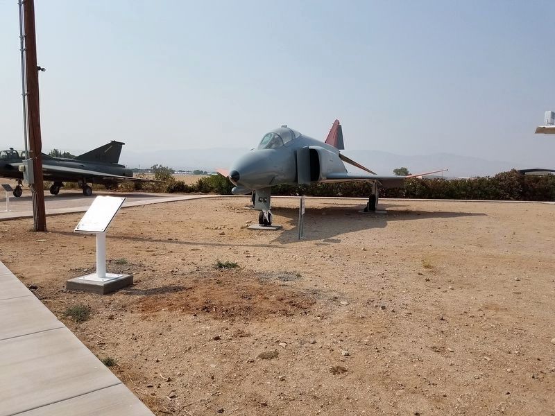
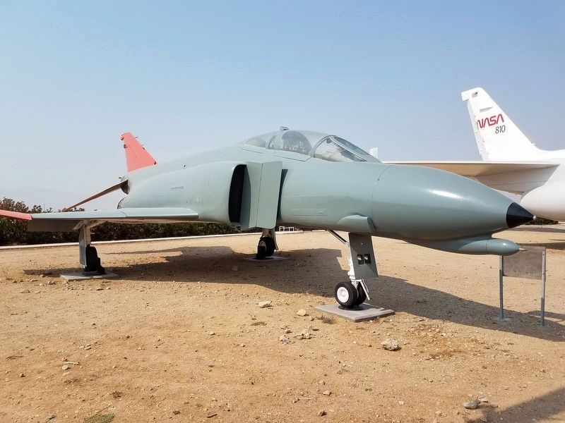
This F-4 was built by McDonnell Douglas in St. Louis, Missouri in 1964 and was flown by the US Air Force in Vietnam.
In 1986 it was converted to a drone by Tracor Flight Systems. The US Air Force loaned this aircraft to Mojave Air and Space Port for display in 1988.
Erected 2018 by Mojave Transportation Museum.
Topics. This historical marker is listed in this topic list: Air & Space. A significant historical year for this entry is 1996.
Location. 35° 2.713′ N, 118° 9.521′ W. Marker is in Mojave, California, in Kern County. Marker is at the intersection of Mojave-Barstow Highway (California Route 58) and Airport Boulevard, on the right when traveling west on Mojave-Barstow Highway. Called the "Gate Keepers", located at the main entrance of the Mojave Air and Space Port. Touch for map. Marker is in this post office area: Bakersfield CA 93301, United States of America. Touch for directions.
Other nearby markers. At least 8 other markers are within walking distance of this marker. Convair CV-990 (here, next to this marker); SAAB TF-35XD Draken (here, next to this marker); Rotary Rocket Roton ATV (approx. 0.7 miles away); Voyager Aircraft / SpaceShipOne Replica (approx. 0.7 miles away); Wen Painter (approx. 0.7 miles away); Albert C. Hansen (approx. 0.7 miles away); Mojave Air & Spaceport (approx. ¾ mile away); United States Marine Corps Air Station (approx. ¾ mile away). Touch for a list and map of all markers in Mojave.
Credits. This page was last revised on September 27, 2023. It was originally submitted on August 10, 2018, by Denise Boose of Tehachapi, California. This page has been viewed 294 times since then and 40 times this year. Photos: 1, 2, 3, 4. submitted on August 10, 2018, by Denise Boose of Tehachapi, California. 5. submitted on March 28, 2022, by Craig Baker of Sylmar, California. 6. submitted on August 10, 2018, by Denise Boose of Tehachapi, California. • Syd Whittle was the editor who published this page.
