Montague in Montague County, Texas — The American South (West South Central)
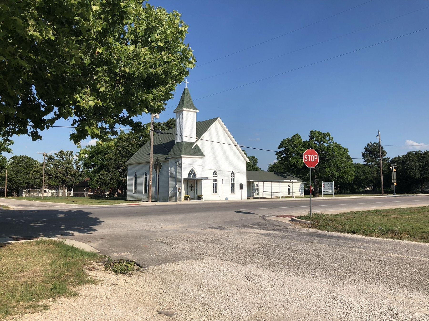
United Methodist Church of Montague
Inscription.
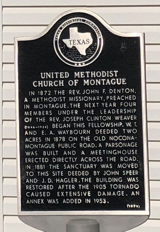
In 1872 The Rev. John F. Denton, a Methodist missionary, preached in Montague. The next year four members under the leadership of The Rev. Joseph Clinton Weaver (1846-1924) began this fellowship. W.T. and E.A. Waybourn deeded two acres in 1878 on the Old Nocona-Montague Public Road. A parsonage was built and a meetinghouse erected directly across the road. In 1881 the sanctuary was moved to this site deeded by John Speer and J.D. Hagler. The building was restored after the 1905 tornado caused extensive damage. An annex was added in 1953. (1979)
Erected 1979 by Texas Historical Commission. (Marker Number 5604.)
Topics. This historical marker is listed in this topic list: Churches & Religion.
Location. 33° 39.787′ N, 97° 43.232′ W. Marker is in Montague, Texas, in Montague County. Marker is at the intersection of State Highway 59 and Main Street, on the right when traveling north on State Highway 59. Touch for map. Marker is in this post office area: Montague TX 76251, United States of America. Touch for directions.
Other nearby markers. At least 8 other markers are within 9 miles of this marker, measured as the crow flies. 1927 Montague County Jail (about 500 feet away, measured in a direct line); Montague County Courthouse (about 600 feet away); Montague Pioneer Memorial (about 600 feet away); Montague Cemetery (approx. 0.4 miles away); Montague Catholic Cemetery (approx. one mile away); Frontier Montague County Trails & Mail Routes (approx. 8˝ miles away); Red River Station / Texas Civil War Frontier Defense (approx. 8˝ miles away); Cotton Gin & Grist Millstones (approx. 8˝ miles away). Touch for a list and map of all markers in Montague.
Credits. This page was last revised on August 12, 2018. It was originally submitted on August 12, 2018, by QuesterMark of Fort Worth, Texas. This page has been viewed 216 times since then and 20 times this year. Photos: 1, 2. submitted on August 12, 2018, by QuesterMark of Fort Worth, Texas. • Bernard Fisher was the editor who published this page.

