Marker Logo HMdb.org THE HISTORICAL
MARKER DATABASE
“Bite-Size Bits of Local, National, and Global History”
Knoxville in Knox County, Tennessee — The American South (East South Central)
 

Airplane Filling Station


Airplane Filling Station Marker image. Click for full size.
Photographed By Tom Bosse, September 8, 2018
1. Airplane Filling Station Marker
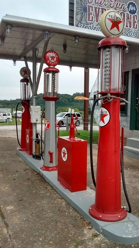
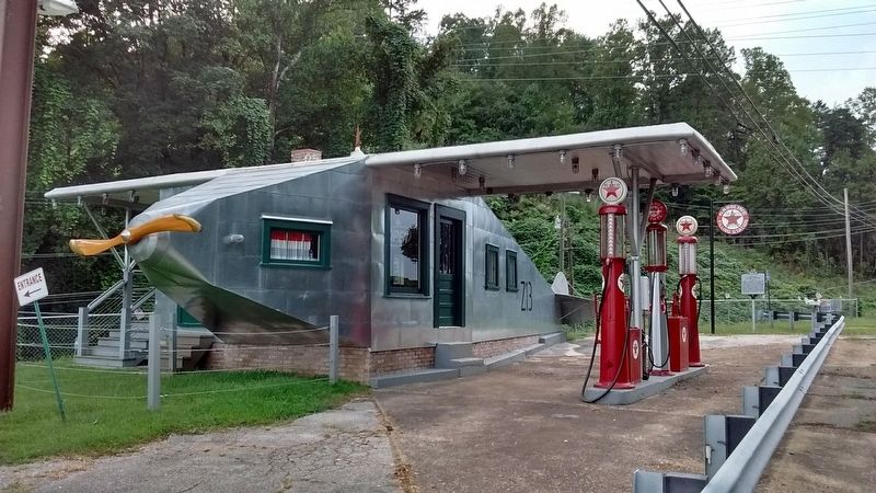
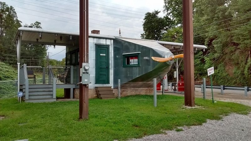
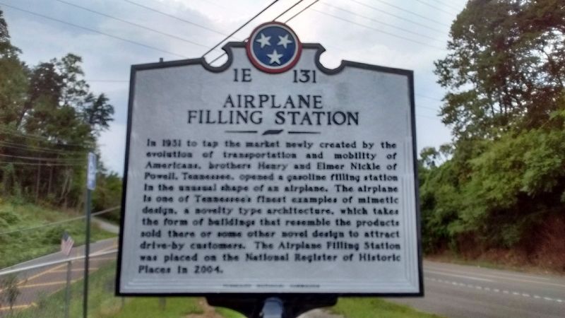
Inscription. In 1931 to tap the market newly created by the evolution of transportation and mobility of Americans, brothers Henry and Elmer Nickle of Powell, Tennessee, opened a gasoline filling station in the unusual shape of an airplane. The airplane is one of Tennessee's finest examples of mimetic design, a novelty type architecture, which takes the form of buildings that resemble the product sold there or some other novel design to attract drive-by customers. The Airplane Filling Station was placed on the National Register of Historic Places in 2004.
 
Erected 2018 by Tennessee Historical Commission. (Marker Number 1E 131.)
 
Topics and series. This historical marker is listed in these topic lists: ArchitectureIndustry & Commerce. In addition, it is included in the Tennessee Historical Commission series list. A significant historical year for this entry is 1931.
 
Location. 36° 0.449′ N, 84° 1.872′ W. Marker is in Knoxville, Tennessee, in Knox County. Marker is on Clinton Highway, on the left when traveling west. Touch for map. Marker is in this post office area: Knoxville TN 37921, United States of America. Touch for directions.
 
Other nearby markers. At least 8 other markers are within 6 miles of this marker, measured as the crow flies. Menifee Station (approx. 1.4 miles away); a different marker also named Menifee Station (approx. 1.4 miles away); UT RecSports Complex
Paid Advertisement
Click on the ad for more information.
Please report objectionable advertising to the Editor.
Click or scan to see
this page online
(approx. 5.1 miles away); Medal of Honor Recipients (approx. 5.1 miles away); Sutherland Avenue McGhee Tyson Airport (approx. 5.2 miles away); In Grateful Memory to the Defenders of Cavett Blockhouse (approx. 5.3 miles away); The Everly Brothers (approx. 5.3 miles away); Herbert H. Hoover (approx. 5.4 miles away). Touch for a list and map of all markers in Knoxville.
 
Also see . . .  Airplane Filling Station. (Submitted on September 9, 2018, by Tom Bosse of Jefferson City, Tennessee.)
 
Airplane Filling Station Marker image. Click for full size.
Photographed By Tom Bosse, September 8, 2018
2. Airplane Filling Station Marker
Airplane Filling Station image. Click for full size.
Photographed By Tom Bosse, September 8, 2018
3. Airplane Filling Station
Airplane Filling Station image. Click for full size.
Photographed By Tom Bosse, September 8, 2018
4. Airplane Filling Station
Airplane Filling Station image. Click for full size.
Photographed By Tom Bosse, September 8, 2018
5. Airplane Filling Station
 
 
Credits. This page was last revised on September 10, 2018. It was originally submitted on September 9, 2018, by Tom Bosse of Jefferson City, Tennessee. This page has been viewed 326 times since then and 27 times this year. Photos:   1, 2, 3, 4, 5. submitted on September 9, 2018, by Tom Bosse of Jefferson City, Tennessee. • Bill Pfingsten was the editor who published this page.
Share this page.  
Share on Tumblr
m=123112

CeraNet Cloud Computing sponsors the Historical Marker Database.
This website earns income from purchases you make after using our links to Amazon.com. We appreciate your support.
Paid Advertisement
May. 4, 2024