Marine Villa in St. Louis, Missouri — The American Midwest (Upper Plains)
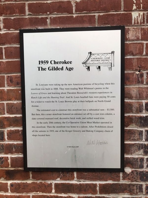
1959 Cherokee
The Gilded Age
— Cherokee-Lemp Historic District —
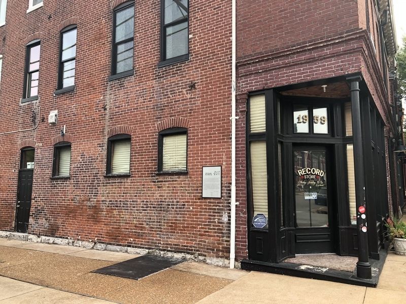
The estimated cost to construct this storefront was a substantial sum -- $3,500. But then, this corner storefront featured an entrance set off by a cast iron column, a slate-covered mansard roof, decorative brick work, and milled wood trim.
In the early 20th century, the Co-Operative Union Meat Market operated in this storefront. Then the storefront was home to a saloon. After Prohibition closed all the saloons in 1919, one of the Kroger Grocery and Baking Company chain of shops located here.
Erected 2007 by NiNi Harris.
Topics and series. This historical marker is listed in these topic lists: Architecture • Arts, Letters, Music • Industry & Commerce. In addition, it is included in the Former U.S. Presidents: #26 Theodore Roosevelt, and the Missouri, St. Louis, The Cherokee-Lemp History Walk series lists. A significant historical year for this entry is 1888.
Location. 38° 35.567′ N, 90° 13.249′ W. Marker is in St. Louis, Missouri. It is in Marine Villa. Marker is at the intersection of Wisconsin Avenue and Cherokee Street, on the right when traveling east on Wisconsin Avenue. Touch for map. Marker is at or near this postal address: 1959 Cherokee Street, Saint Louis MO 63118, United States of America. Touch for directions.
Other nearby markers. At least 8 other markers are within walking distance of this marker. 2008 Cherokee (within shouting distance of this marker); At Home On Cherokee (within shouting distance of this marker); 2014 Cherokee (within shouting distance of this marker); Settlers' Homes (within shouting distance of this marker); The Elusive Cemetery (about 300 feet away, measured in a direct line); The Blacksmith Shop (about 400 feet away); The Simon Complex (about 500 feet away); 1905 - 09 Cherokee (about 500 feet away). Touch for a list and map of all markers in St. Louis.
Credits. This page was last revised on January 30, 2023. It was originally submitted on October 9, 2018, by Devry Becker Jones of Washington, District of Columbia. This page has been viewed 235 times since then and 11 times this year. Photos: 1, 2. submitted on October 9, 2018, by Devry Becker Jones of Washington, District of Columbia. • Bill Pfingsten was the editor who published this page.

