Tynemouth in Tyne and Wear, England, United Kingdom — Northwestern Europe (the British Isles)
Tynemouth Priory and Castle
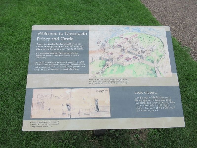
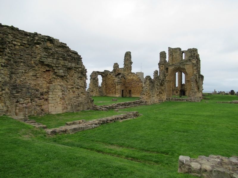
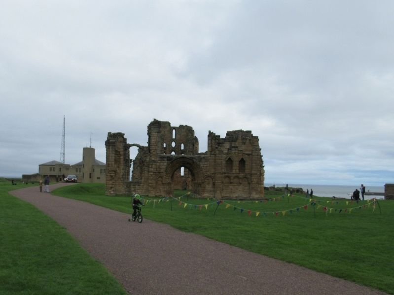
The ruined church in front of you was part of a rich Benedictine monastery, which was founded in the late 11th century.
Even after the monastery was closed by order of Henry VIII in 1539, the site continued to be occupied. Soldiers lived here until as recently as 1960 – for over 400 years Tynemouth was a major coastal fort defending the mouth of the Tyne.
( artwork captions )
Tynemouth Priory as it may have appeared in the early 1500s. The complex inside the walls included barns, stables, a farmyard and an orchard, as well as the church and monastery buildings.
Tynemouth's headland seen from the south, in around 1780. Many more of the monastic buildings remained standing then.
Look closer ....
on the right of the big doorway to the ruined church, there seem to be two blocked up windows. Actually these spaces were made to hold religious statues. The front of the church must have been very grand.
Topics. This historical marker is listed in these topic lists: Churches & Religion • Forts and Castles. A significant historical year for this entry is 1539.
Location. 55° 1.069′ N, 1° 25.15′ W. Marker is in Tynemouth, England, in Tyne and Wear. Marker can be reached from the intersection of Front Street and Pier Road, on the right when traveling east. Located at Tynemouth Priory and Castle. Touch for map. Marker is in this post office area: Tynemouth, England NE30 4BZ, United Kingdom. Touch for directions.
Other nearby markers. At least 8 other markers are within walking distance of this marker. The Gatehouse (within shouting distance of this marker); Lost Buildings (within shouting distance of this marker); The Priory Church (about 90 meters away, measured in a direct line); The Shrine Area (about 90 meters away); The Cloister (about 90 meters away); Stone Detectives (about 90 meters away); Site of Tynemouth Lighthouse (about 150 meters away); 1859 Gun (about 150 meters away). Touch for a list and map of all markers in Tynemouth.
Also see . . . Tynemouth Priory and Castle on Wikipedia. (Submitted on November 10, 2018, by Michael Herrick of Southbury, Connecticut.)
Credits. This page was last revised on January 27, 2022. It was originally submitted on November 10, 2018, by Michael Herrick of Southbury, Connecticut. This page has been viewed 108 times since then and 13 times this year. Photos: 1, 2, 3. submitted on November 10, 2018, by Michael Herrick of Southbury, Connecticut.


