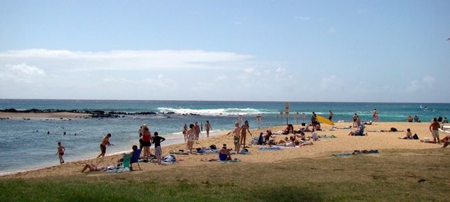
Poipu in Kauai County, Hawaii — Hawaiian Island Archipelago (Pacific Ocean)
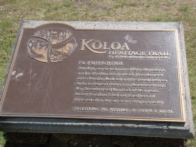
Po‘ipū Beach Park
Kōloa Heritage Trail — Ka Ala Hele Waiwai Ho‘olina o Kōloa
— Preserving the Heritage of Po‘ipū & Kōloa —
Erected by Po‘ipū Beach Foundation. (Marker Number 6.)
Topics. This historical marker is listed in this topic list: Natural Resources.
Location. 21° 52.417′ N, 159° 27.25′ W. Marker is in Poipu, Hawaii, in Kauai County. Marker is at the intersection of Hoone Road and Ho‘owilli Road, on the left when traveling east on Hoone Road. It is at the main entrance to the park, which is across from the parking lot on the west side of Ho‘owilli Road. Brennecke’s Beach Broiler Restaurant’s parking lot is on the east side. Touch for map. Marker is in this post office area: Koloa HI 96756, United States of America. Touch for directions.
Other nearby markers. At least 8 other markers are within one mile of this marker, measured as the crow flies. Kihāhouna Heiau (approx. 0.2 miles away); Hapa Road (approx. 0.4 miles away); Pā‘ū a Laka (Moir Gardens) (approx. 0.4 miles away); Pu‘uwanawana Volcanic Cone (approx. 0.6 miles away); Keoneloa Bay (approx. 0.8 miles away); Sacred Fishing Grounds (approx. 0.8 miles away); Hanaka‘ape Bay & Kōloa Landing (approx. one mile away); Makawehi & Pā‘ā Dunes (approx. one mile away). Touch for a list and map of all markers in Poipu.
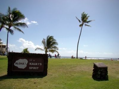
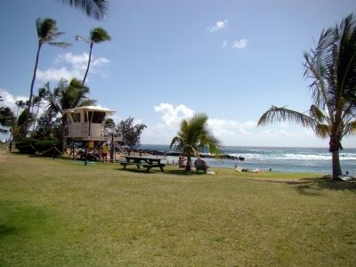
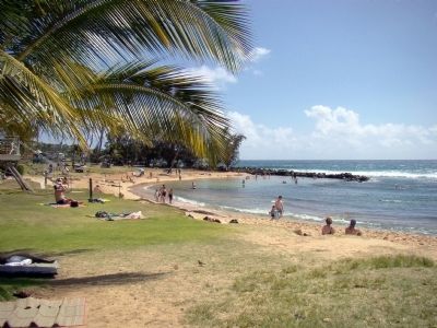
Regarding Po‘ipū Beach Park. Poipu Beach Park now includes Brennecke Beach adjacent to the east. Brennecke Beach was a popular body surfing beach until hurricane Iniki destroyed it in 1992.
Related marker. Click here for another marker that is related to this marker. It is the first of the Kōloa Heritage Trail markers, and has a link to a list of all Kōloa Heritage Trail markers.
Credits. This page was last revised on February 10, 2023. It was originally submitted on October 22, 2008, by J. J. Prats of Powell, Ohio. This page has been viewed 1,324 times since then and 20 times this year. Photos: 1, 2, 3, 4, 5. submitted on October 22, 2008, by J. J. Prats of Powell, Ohio.
