Slaughter in East Feliciana Parish, Louisiana — The American South (West South Central)
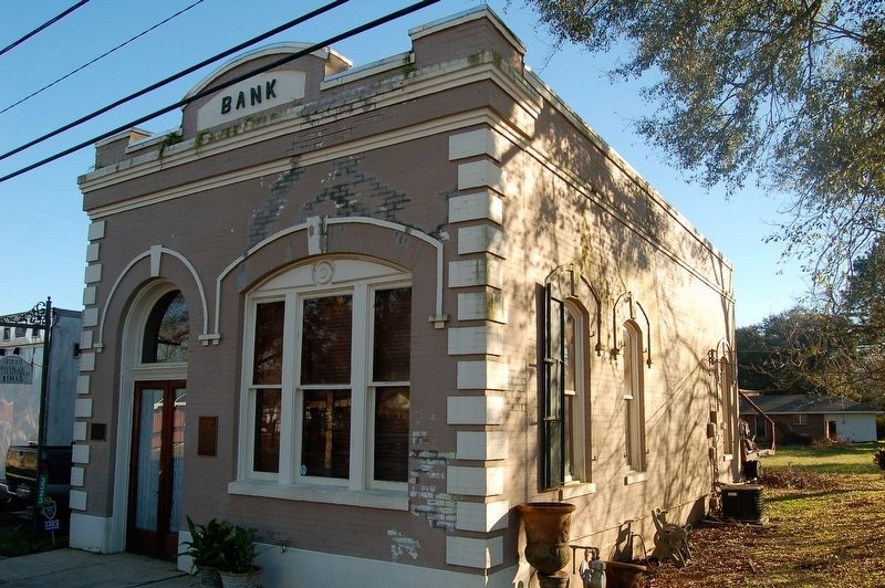
Bank of Slaughter
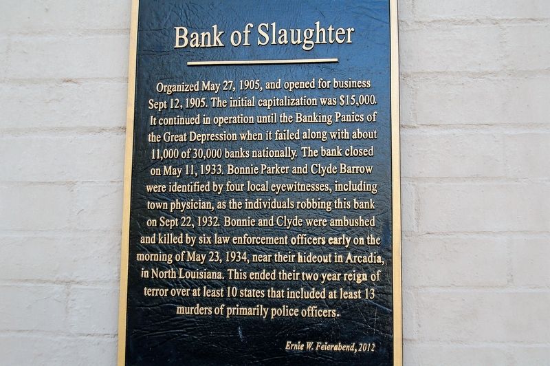
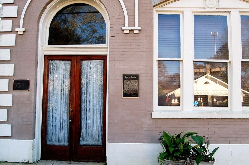
Organized May 27, 1905 and opened for business Sept. 12, 1905. The initial capitalization was $15,000. It continued in operation until the Banking Panics of the Great Depression when it failed along with about 11,000 of 30,000 banks nationally. The bank closed on May 11, 1933. Bonnie Parker and Clyde Barrow were identified by four local eye witnesses, including town physician, as the individuals robbing this bank on Sept 22, 1932. Bonnie and Clyde were ambushed and killed by six law enforcement officers early on the morning of May 23, 1934, near their hideout in Arcadia, in North Louisiana. This ended their two year reign of terror over at least 10 states that included at least 13 murders of primarily police officers.
Ernie W Feierabend, 2012
Erected 2012.
Topics. This historical marker is listed in this topic list: Industry & Commerce.
Location. 30° 43.075′ N, 91° 8.665′ W. Marker is in Slaughter, Louisiana, in East Feliciana Parish. Marker is on Church Street (State Highway 412) east of West Avenue, on the right when traveling east. Touch for map. Marker is in this post office area: Slaughter LA 70777, United States of America. Touch for directions.
Other nearby markers. At least 8 other markers are within 8 miles of this marker, measured as the crow flies. Battle of the Plains Store
Credits. This page was last revised on February 25, 2024. It was originally submitted on January 6, 2019, by Cajun Scrambler of Assumption, Louisiana. This page has been viewed 503 times since then and 91 times this year. Photos: 1, 2, 3. submitted on January 6, 2019.


