Split in Opcina Split, Split-Dalmatia, Croatia — Central and Southeastern Europe
Pjaca
(The Square)

Photographed By Barry Swackhamer, July 29, 2018
1. Pjaca Marker
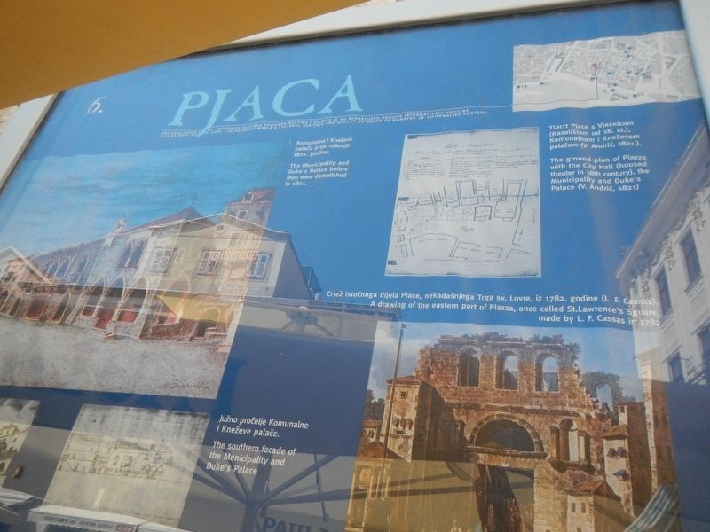
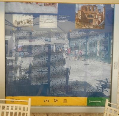
Captions: (upper-left) The Municipality and Duke's Palace before they were demolished in 1821.; (upper-right) The ground-plan of Piazza with the City Hall (housed theater in 18th century), the Municipality and Duke's Palace (V. Adrić, 1821); (lower-right) A drawing of the eastern part of Piazza, once called St. Lawrence's Square, made by L.F. Cassas in 1782.; (bottom-center and left) The southern facade of the Municipality and Duke's Palace.
Split, like the majority of the towns situated on the eastern coast of the Adriatic, developed into an important economic centre in the late 13th and early 14th century, and, as a result of this economic boom, its own autonomous community - the civitas Spaleti, has been established. The Statute of the Municipality was published at that time, and the oldest preserved copy of the Statute today dates back to the year 1312. It was one of the most splendid periods in the history of Split, characterized by the prosperous communal management: the city spread out of the core in the Palace, and the western suburb originally protected only by simple defensive walls of dry laid stones, became integrated with the core and the new defensive walls surrounding the whole city were erected. On the other hand, the other suburbs of the city which had been built in different styles, became an integrated urban structure with well-built houses, with palaces owned by the rich citizens and with well-defined and regulated street networks.
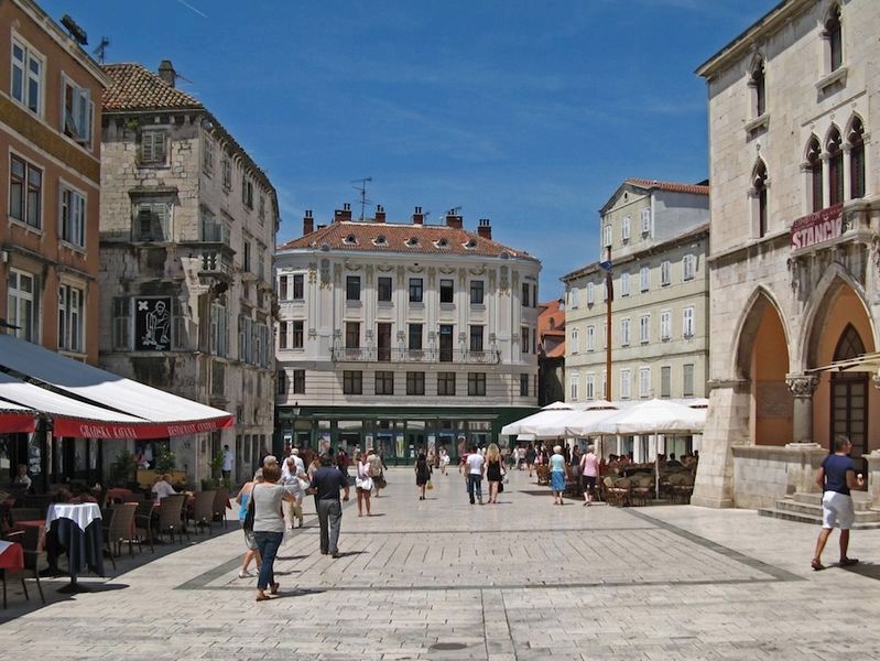
At that time, the old defensive walls, were stretching from the present Square of Preporod towards the north, to Obrov, and then to the east and towards the northwestern towner of the Palace. Within these limits, a new city square was formed: Platea sancti Laurentii, first mentioned in 1255. The Duke's Palace and City Hall were erected on the square during the Venetian rule. Due to their deteriorated condition and since there was a need to have the square limits extended, both buildings were partly pulled down, and partly reconstructed in the 19th century.
Another city square, the Peristyle - has become a religious center - St. Domnius' Square, since the city spread to the west. Consequently, the city of Split has an urban structure with two main squares, that was a common urban pattern of medieval cities.
At that time, the city of Split was divided in four districts (quarters), two of them were located in the core of the Palace (Saint Domnius and Saint Martin), and the other two were located in the new part of the city (Saint Mary and Saint Clare).
Erected by Grad Split, Gradosro Poglavarstvo. (Marker Number 6.)
Topics. This historical marker is listed in these topic lists: Government & Politics • Notable Places • Political Subdivisions.
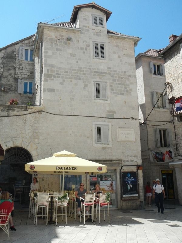
Location. 43° 30.533′ N, 16° 26.304′ E. Marker is in Split, Splitsko-dalmatinska (Split-Dalmatia), in Opcina Split. Marker is on Narodni Trg close to Ulica Pavla Šubića. Touch for map. Marker is at or near this postal address: Narodni Trg 6, Split, Splitsko-dalmatinska 21000, Croatia. Touch for directions.
Other nearby markers. At least 8 other markers are within walking distance of this marker. The Pavlović Palace (within shouting distance of this marker); The Town Hall (within shouting distance of this marker); The Karepić Palace (within shouting distance of this marker); The Milesi Palace (within shouting distance of this marker); The Ciprianis-Benedetti Palace (within shouting distance of this marker); The Cambi Palace (within shouting distance of this marker); Church of Our Lady of the Bell Tower and the municipal clock (about 90 meters away, measured in a direct line); The Iron Gate Palace (about 90 meters away). Touch for a list and map of all markers in Split.
Credits. This page was last revised on February 10, 2022. It was originally submitted on January 8, 2019, by Barry Swackhamer of Brentwood, California. This page has been viewed 133 times since then and 11 times this year. Photos: 1, 2, 3, 4. submitted on January 8, 2019, by Barry Swackhamer of Brentwood, California.


