Maidstone in Kent, England, United Kingdom — Northwestern Europe (the British Isles)
Leeds Castle
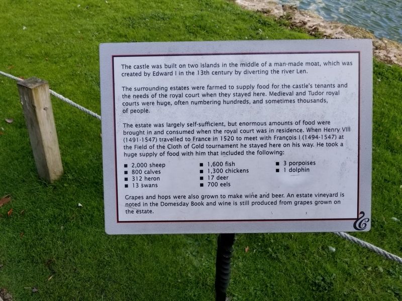
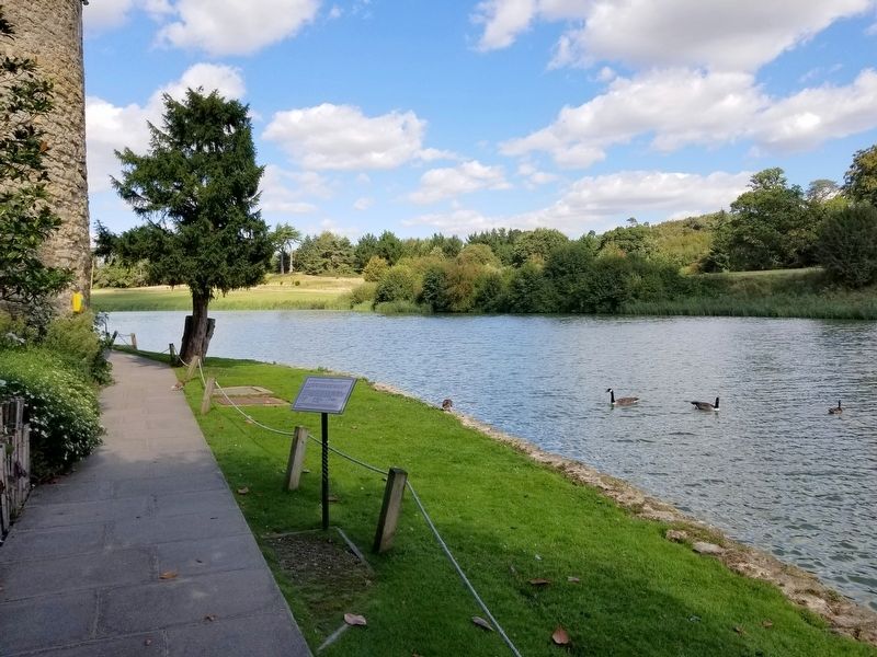
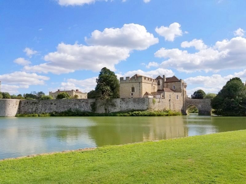
The castle was built on two islands in the middle of a man-made moat, which was created by Edward I in the 13th century by diverting the river Len.
The surrounding estates were farmed to supply food for the castle's tenants and the needs of the royal court when they stayed here. Medieval and Tudor royal courts were huge, often numbering hundreds, and sometimes thousands, of people.
The estate was largely self-sufficient, but enormous amounts of food were brought in and consumed when the royal court was in residence. When Henry VIII (1491 - 1547) travelled to France in 1520 to meet with François I (1494 - 1547) at the Field of the Cloth of Gold tournament he stayed here on his way. He took a huge supply of food with him that included the following:
• 2,000 sheep • 800 calves • 312 heron • 13 swans • 1,600 fish • 1,300 chickens • 17 deer • 700 eels • 3 porpoises • 1 dolphin
Grapes and hops were also grown to make wine and beer. An estate vineyard is noted in the Domesday Book and wine is still produced from grapes grown on the estate.
Topics. This historical marker is listed in this topic list: Forts and Castles. A significant historical year for this entry is 1520.
Location. 51° 14.933′ N, 0° 37.851′ E. Marker is in Maidstone, England, in Kent . Marker can be reached from the intersection of Ashford Road and Route B2163, on the right when traveling east. Located on the estate of Leeds Castle. Touch for map. Marker is in this post office area: Maidstone, England ME17 1PL, United Kingdom. Touch for directions.
Other nearby markers. At least 8 other markers are within 18 kilometers of this marker, measured as the crow flies. Leeds Castle Alterations (a few steps from this marker); Main Castle Island (about 120 meters away, measured in a direct line); a different marker also named Leeds Castle (about 180 meters away); Aragon the Dragon (approx. 0.6 kilometers away); City of Rochester Upon Medway (approx. 17 kilometers away); Royal Marines Barracks (approx. 17.2 kilometers away); Coat of Arms of George III (approx. 17.5 kilometers away); The Royal Dockyard Anchor (approx. 17.5 kilometers away). Touch for a list and map of all markers in Maidstone.
Also see . . . Leeds Castle. (Submitted on January 10, 2019, by Michael Herrick of Southbury, Connecticut.)
Credits. This page was last revised on January 27, 2022. It was originally submitted on January 10, 2019, by Michael Herrick of Southbury, Connecticut. This page has been viewed 107 times since then and 6 times this year. Photos: 1, 2, 3. submitted on January 10, 2019, by Michael Herrick of Southbury, Connecticut.


