Monrovia in Los Angeles County, California — The American West (Pacific Coastal)
Pacific Electric Railway
City of Monrovia
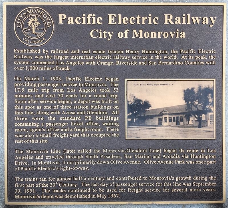
Established by railroad and real estate tycoon Henry Huntington, the Pacific Electric Railway was the largest interurban electric railway service in the world. At its peak, the system connected Los Angeles with Orange, Riverside, and San Bernardino Counties with over 1,000 miles of track.
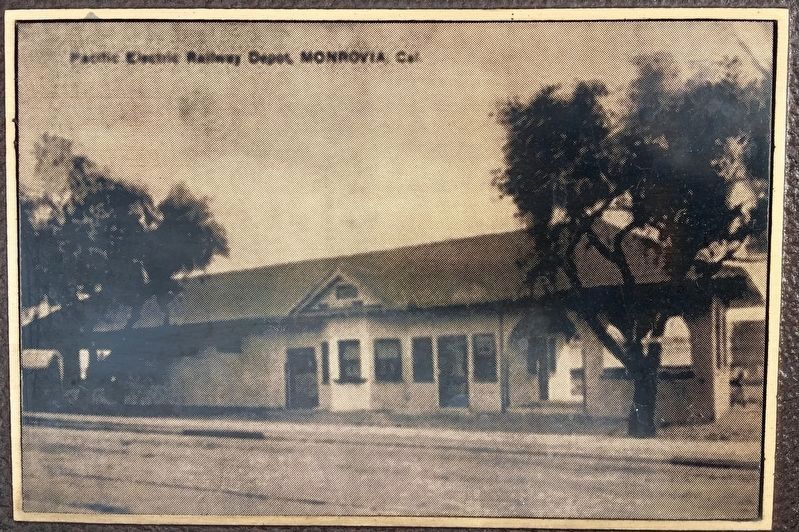
On March 1, 1903, Pacific Electric began providing passenger service to Monrovia. The 17.5 mile trip from Los Angeles took 53 minutes and cost 50 cents for a round trip. Soon after service began, a depot was built on this spot as one of three station buildings on this line, along with Azusa and Glendora. All three were the standard P.E. buildings containing a passenger ticket office, waiting room, agent’s office and a freight room. There was also a small freight yard that occupied the rest of this site.
The Monrovia Line (later called the Monrovia-Glendora Line) began its route in Los Angeles and traveled through South Pasadena, San Marino, and Arcadia via Huntington Drive. In Monrovia, it ran primarily down Olive Avenue. Olive Avenue Park was once part of Pacific Electric’s right-of-way.
The trains ran for almost half a century and contributed to Monrovia’s growth during the first part of the 20th Century. The last day of passenger service for this line was September 30, 1951. The tracks continued to be used for freight service for several more years. Monrovia’s depot was demolished in May 1967.
Erected by City of Monrovia.
Topics. This historical marker is listed in this topic list: Railroads & Streetcars. A significant historical date for this entry is March 1, 1903.
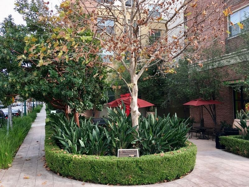
Location. 34° 8.686′ N, 118° 0.051′ W. Marker is in Monrovia, California, in Los Angeles County. Marker is at the intersection of Myrtle Avenue and Olive Avenue, on the right when traveling north on Myrtle Avenue. Located on the south-east corner. Touch for map. Marker is at or near this postal address: 700 S Myrtle Ave, Monrovia CA 91016, United States of America. Touch for directions.
Other nearby markers. At least 8 other markers are within walking distance of this marker. The Banning Block (about 600 feet away, measured in a direct line); Monrovia Savings Bank Building (approx. ¼ mile away); Neville Building (approx. ¼ mile away); Hitching Post (approx. 0.7 miles away); The Oaks (approx. 0.8 miles away); Transportation Evolution (approx. 0.8 miles away); Monrovia - Our History (approx. 0.8 miles away); Monrovia Architectural Styles (approx. 0.8 miles away). Touch for a list and map of all markers in Monrovia.
Credits. This page was last revised on January 30, 2023. It was originally submitted on January 21, 2019, by Craig Baker of Sylmar, California. This page has been viewed 389 times since then and 32 times this year. Photos: 1, 2, 3. submitted on January 21, 2019, by Craig Baker of Sylmar, California. • Andrew Ruppenstein was the editor who published this page.


