Pineville in Rapides Parish, Louisiana — The American South (West South Central)
Pineville #3
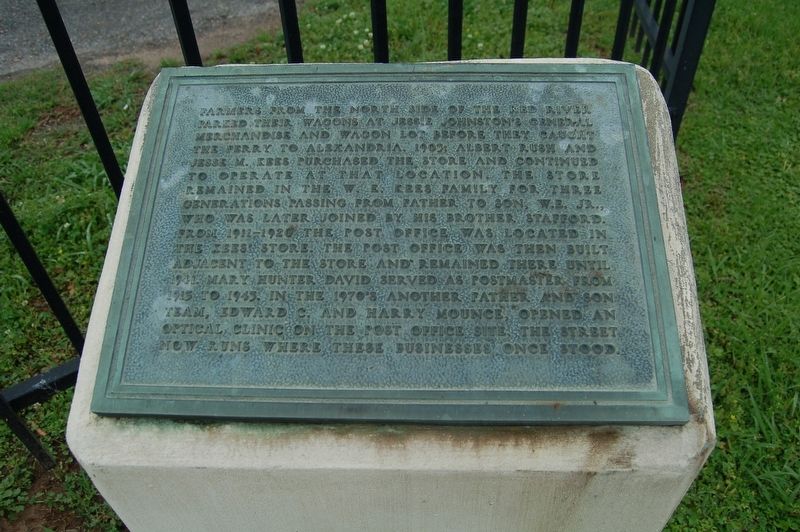
Farmers from the north side of the Red River parked their wagons at Jessie Johnston's General Merchandise and Wagon Lot before they caught the ferry to Alexandria.
1905: Albert Rush and Jesse M. Kees purchased the store and continued to operate at that location. The store remained in the W.K. Kees family for three generations passing from father to son, W.E. Jr., who was later joined by his brother Stafford. From 1911-1920 the post office was located in the Kees' store. The post office was then built adjacent to the store and remained there until 1941. Mary Hunter David served as postmaster from 1913-1943. In the 1970's another father and son team, Edward C. and Harry Mounce, opened an optical clinic on the post office site. The street now runs where these businesses once stood.
Erected by City of Pineville.
Topics and series. This historical marker is listed in this topic list: Settlements & Settlers. In addition, it is included in the Postal Mail and Philately series list.
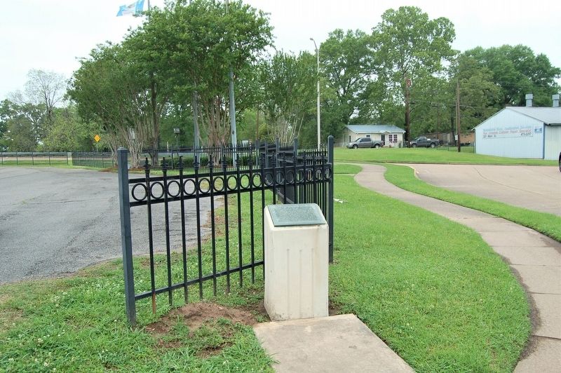
Location. 31° 18.924′ N, 92° 26.457′ W. Marker is in Pineville, Louisiana, in Rapides Parish. Marker is on Main Street north of Levee Road, on the left when traveling north. Touch for map. Marker is in this post office area: Alexandria LA 71301, United States of America. Touch for directions.
Other nearby markers. At least 8 other markers are within walking distance of this marker. Pineville #2 (about 300 feet away, measured in a direct line); Old Rapides Cemetery (about 400 feet away); 200 Block of Main Street (about 400 feet away); Pineville #1 (about 400 feet away); Pineville River Front Trail (about 500 feet away); The Jewish Cemetery (about 500 feet away); 300 Block Main Street (about 600 feet away); Rapides Cemetery (about 800 feet away). Touch for a list and map of all markers in Pineville.
Credits. This page was last revised on June 18, 2023. It was originally submitted on April 21, 2018, by Cajun Scrambler of Assumption, Louisiana. This page has been viewed 246 times since then and 8 times this year. Last updated on February 5, 2019, by Douglass Halvorsen of Klamath Falls, Oregon. Photos: 1, 2. submitted on April 22, 2018. • Andrew Ruppenstein was the editor who published this page.

