Near Washington in Washington County, Texas — The American South (West South Central)
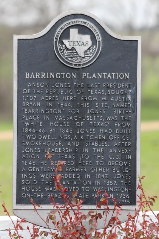
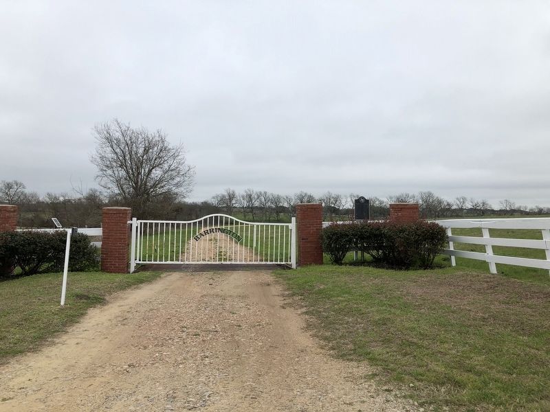
Barrington Plantation
Erected 1996 by Texas Historical Commission. (Marker Number 8296.)
Topics. This historical marker is listed in this topic list: Notable Places. A significant historical year for this entry is 1844.
Location. 30° 16.586′ N, 96° 12.463′ W. Marker is near Washington, Texas, in Washington County. Marker is on Whitman Road, 0.7 miles south of Bosse Road, on the right when traveling north. Touch for map. Marker is in this post office area: Washington TX 77880, United States of America. Touch for directions.
Other nearby markers. At least 8 other markers are within 5 miles of this marker, measured as the crow flies. Friedens Church of Washington, UCC (approx. 2.6 miles away); Brown's Prairie School and Building (approx. 2.6 miles away); Camp Felder (approx. 3˝ miles away); Washington Methodist Church (approx. 4.3 miles away); Here a Nation was Born (approx. 4.6 miles away); Little Town on the River (approx. 4.6 miles away); "Gus" (approx. 4.6 miles away); Birth of a Republic (approx. 4.6 miles away). Touch for a list and map of all markers in Washington.
Also see . . . Barrington - The Handbook of Texas Online. Texas State Historical Association (TSHA) (Submitted on March 11, 2019, by Brian Anderson of Humble, Texas.)
Credits. This page was last revised on March 20, 2019. It was originally submitted on March 11, 2019, by Brian Anderson of Humble, Texas. This page has been viewed 520 times since then and 127 times this year. Photos: 1, 2. submitted on March 19, 2019, by Brian Anderson of Humble, Texas.

