Freeland
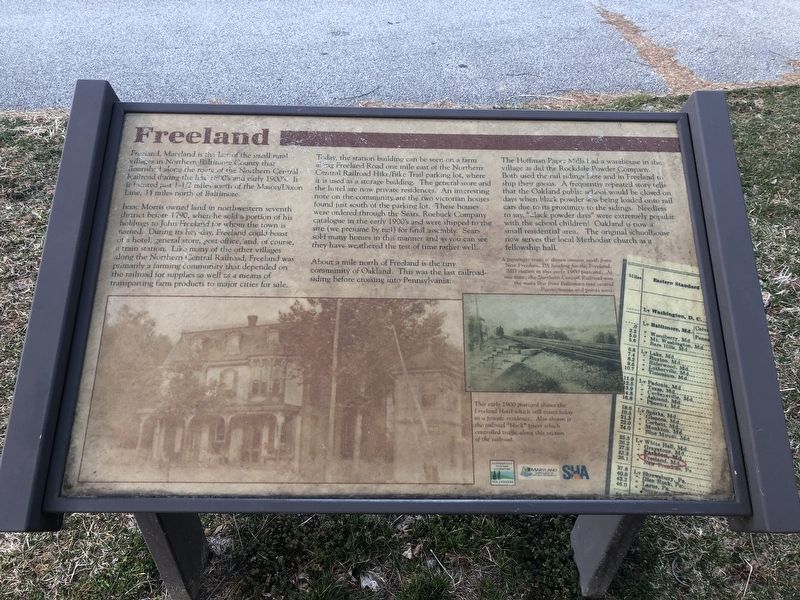
Freeland, Maryland is the last of the small rural villages in Northern Baltimore County that flourished along the route of the Northern Central Railroad during the late 1800's and early 1900's. It is located just 1-1/2 miles south of the Mason/Dixon Line, 34 miles north of Baltimore.
Isaac Morris owned land in northwestern seventh district before 1790, when he sold a portion of his holdings to John Freeland for whom the town is named. During its hey-day, Freeland could boast of a hotel, general store, post office, and, of course, a train station. Like many of the other villages along the Northern Central Railroad, Freeland was primarily a farming community that depended on the railroad for supplies as well as a means of transporting farm products to major cities for sale.
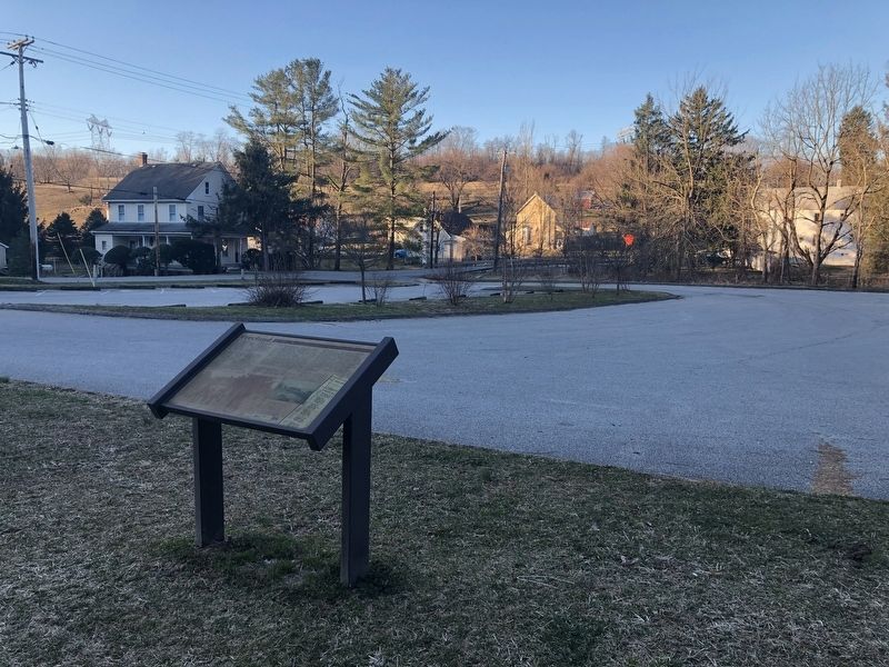
Today, the station building can be seen on a farm along Freeland Road one mile east of the Northern Central Hike/Bike Trail parking lot, where it is used as a storage building. The general store and the hotel are now private residences. An interesting note on the community are the two victorian houses found just south of the parking lot. These houses were ordered through the Sears, Roebock Company catalog in the early 1900's and were shipped to the site (we presume by rail) for final assembly. Sears sold many homes in this manner and as you can see
they have weathered the test of time rather well.About a mile north of Freeland is the tiny community of Oakland. This was the last railroad-siding before crossing into Pennsylvania.
The Hoffman Paper Mills had a warehouse in the village as did the Rockdale Powder Company. Both used the rail sidings here and in Freeland to ship their goods. A frequently repeated story tells that the Oakland public school would be closed on days when black powder was being loaded onto rail cars due to its proximity to the sidings. Needless to say, "black powder days" were extremely popular with the school children! Oakland is now a small residential area. The original schoolhouse now serves the local Methodist church as a fellowship hall.
[Captions:]
A passenger train is shown coming south from New Freedom, PA heading for the Freeland, MD station in this early 1900 postcard. at one time, the Northern Central Railroad was the main line from Baltimore into central Pennsylvania and points west.
This early 1900 postcard shows the Freeland Hotel which still exists today as a private residence. Also shown is the railroad "block" tower which controlled traffic along this section of the railroad.
Erected by Gunpowder Falls State Park, Maryland Department of Natural Resources, State Highway Administration.
Topics. This historical marker is listed in these topic lists: Education • Industry & Commerce • Railroads & Streetcars • Settlements & Settlers. A significant historical year for this entry is 1790.
Location. 39° 42.365′ N, 76° 40.989′ W. Marker is in Freeland, Maryland, in Baltimore County. Marker is on Freeland Road north of Railroad Avenue, on the left when traveling north. Touch for map. Marker is at or near this postal address: 1053 Freeland Road, Freeland MD 21053, United States of America. Touch for directions.
Other nearby markers. At least 8 other markers are within 4 miles of this marker, measured as the crow flies. Mason and Dixon Mile Stone (approx. 1.7 miles away); Mason and Dixon Line (approx. 1.7 miles away); Summit Grove (approx. 2.2 miles away in Pennsylvania); Bentley Springs (approx. 2.3 miles away); All Aboard! (approx. 2˝ miles away in Pennsylvania); Homes on Wheels, Mobile Offices (approx. 2˝ miles away in Pennsylvania); The Farmers' Line (approx. 2.6 miles away in Pennsylvania); Veterans Memorial (approx. 3.4 miles away).
Credits. This page was last revised on January 6, 2021. It was originally submitted on March 23, 2019, by Devry Becker Jones of Washington, District of Columbia. This page has been viewed 2,077 times since then and 271 times this year. Photos: 1, 2. submitted on March 23, 2019, by Devry Becker Jones of Washington, District of Columbia.

