Cuero in DeWitt County, Texas — The American South (West South Central)
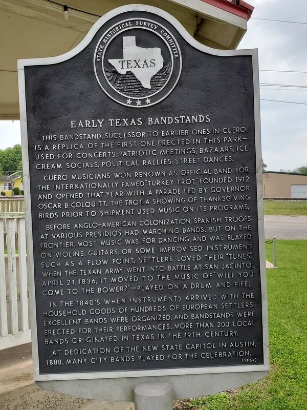
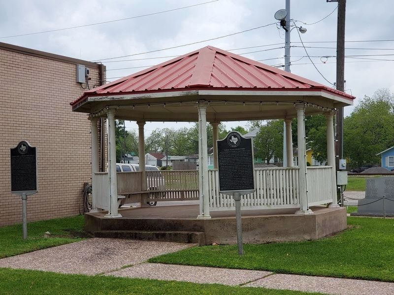
Early Texas Bandstands
Cuero musicians won renown as official band for the internationally famed "Turkey Trot," founded 1912 and opened that year with a parade led by Governor Oscar B. Colquitt. The Trot, a showing of Thanksgiving birds prior to shipment, used music on its programs.
Before Anglo-American colonization, Spanish troops at various presidios had marching bands. But on the frontier, most music was for dancing, and was played on violins, guitars, or some improvised instrument such as a plow point. Settlers loved their "tunes." When the Texan Army went into battle at San Jacinto, April 21, 1836, it moved to the music of "Will You Come to the Bower?" - played on a drum and fife.
In the 1840s when instruments arrived with the household goods of hundreds of European settlers, excellent bands were organized, and bandstands were erected for their performances. More than 200 local bands originated in Texas in the 19th Century.
At dedication of the new State Capitol in Austin, 1888, many city bands played for the celebration.
Erected 1967 by State Historical Survey Committee . (Marker Number 1356.)
Topics. This historical marker is listed in these topic lists: Arts, Letters, Music • Entertainment.
Location. 29° 5.359′ N, 97° 17.376′ W. Marker is in Cuero, Texas, in DeWitt County. Marker is at the intersection of East Main Street and North Clinton Street, on the right when traveling east on East Main Street. Touch for map. Marker is at or near this postal address: 219 East Main Street, Cuero TX 77954, United States of America. Touch for directions.
Other nearby markers. At least 8 other markers are within walking distance of this marker. Cuero Land and Immigration Company (here, next to this marker); Brayton Flying Field (a few steps from this marker); St. Michael's Catholic Church (about 700 feet away, measured in a direct line); Buchel Bank (about 700 feet away); First United Methodist Church of Cuero (about 800 feet away); DeWitt County War Memorial (approx. 0.2 miles away); De Witt County Courthouse (approx. 0.2 miles away); Keller-Grunder House (approx. 0.2 miles away). Touch for a list and map of all markers in Cuero.
Credits. This page was last revised on November 2, 2020. It was originally submitted on April 22, 2019, by Brian Anderson of Humble, Texas. This page has been viewed 209 times since then and 36 times this year. Photos: 1, 2. submitted on April 22, 2019, by Brian Anderson of Humble, Texas.

