St. Charles in St. Charles County, Missouri — The American Midwest (Upper Plains)
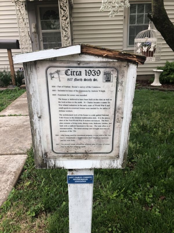
Circa 1939
807 North Sixth St.
— Saint Charles Commons Neighborhood Association —
1830 - Part of Nathan Boone's survey of the Commons.
1835 - Included in lease of the Commons by Andrew Wilson.
1939 - Easement for sewer recorded.
The house is believed to have been built at this time as well as the look-a-likes to the north. St. Charles became a center for War related industries in the early years of World War II and small-quick-to-construct houses were needed for the influx of defense workers.
The architectural style of the house is a side gabled National Folk House in he minimal traditionalist style. It is the antecedent of the Post-World-War II modern movement. The floor plan contains a living room, dining room, bedroom, kitchen, and bath with walkout basement to the rear. The total effect is of miniaturization. The metal awnings and wrought iron trim are products of the '50s.
1950 - After being used for investment property, it was sold to Mr. Delton C. Hilderbrand, a Southwestern Bell Telephone repairman and his wife Ruby.
1985 - The present owner secured the property after 35 years of ownership by the first owner/occupant.
Erected by Saint Charles Commons Neighborhood Association.
Topics. This historical marker is listed in these topic lists: Architecture • Industry & Commerce • Settlements & Settlers • War, World II. A significant historical year for this entry is 1830.
Location. 38° 47.401′ N, 90° 29.105′ W. Marker is in St. Charles, Missouri, in St. Charles County. Marker is on North 6th Street north of Franklin Street, on the left when traveling north. Touch for map. Marker is at or near this postal address: 807 North 6th Street, Saint Charles MO 63301, United States of America. Touch for directions.
Other nearby markers. At least 8 other markers are within walking distance of this marker. 1902 (a few steps from this marker); 1900 (a few steps from this marker); Circa 1906 (within shouting distance of this marker); Circa 1904 (within shouting distance of this marker); Circa 1894 (about 300 feet away, measured in a direct line); Circa 1940 (about 600 feet away); 612 North Sixth Street (about 600 feet away); 1889 (about 700 feet away). Touch for a list and map of all markers in St. Charles.
Credits. This page was last revised on May 1, 2019. It was originally submitted on May 1, 2019, by Devry Becker Jones of Washington, District of Columbia. This page has been viewed 176 times since then and 17 times this year. Photos: 1, 2. submitted on May 1, 2019, by Devry Becker Jones of Washington, District of Columbia.

