Southwest Waterfront in Southwest Washington in Washington, District of Columbia — The American Northeast (Mid-Atlantic)
New Town in the City
River Farms to Urban Towers
— Southwest Heritage Trail —
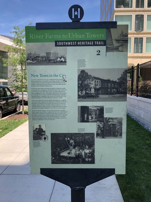
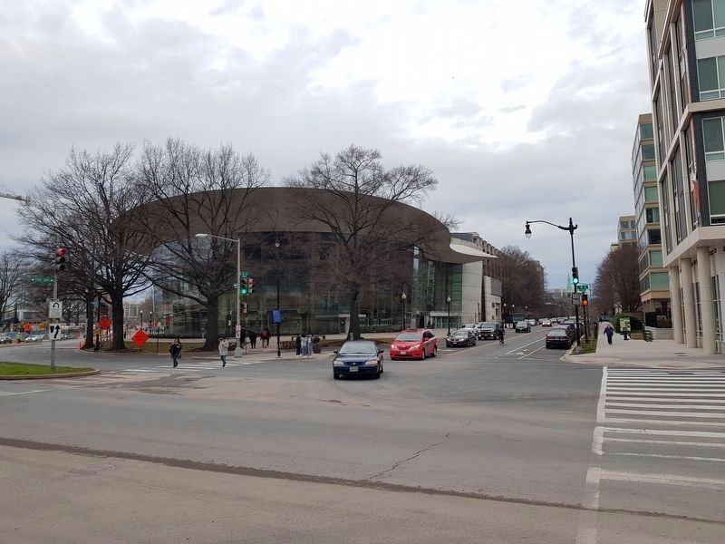
All that surrounds this sign resulted from the nation's first urban renewal project. To your left is Arena Stage, a leader in the resident company theater movement. Founded as an innovative theater-in-the-round in an old downtown movie theater in 1950, Arena Stage moved to this Harry Weese-designed building in 1961.
Just beyond Arena Stage is the Modernist high-rise residential complex of Waterside Towers, designed by Chloethiel Woodard Smith. Behind you across M Street stands Tiber Island, a prize-winning development by Keyes, Lethbridge & Condon. These designs explain Southwest's reputation as a showcase of 20th-century architecture and planning. St. Augustine Episcopal Church, completed in 1965, was one of seven built after renewal demolished 28 of Old Southwest's 34 houses of worship.
In the 1930s congressional and city officials nationwide were struggling with the problem of aged, deteriorating cities. Could they be fixed and beautified or should they be torn down and built anew? Would better buildings improve the lives of residents if their communities were lost? Could governments re-make cities or did they need help from private developers? And would the displaced ever be able to come home again?
Southwest offered Congress a test lab. Most Southwesters were low-income people who valued their neighborhood but had no political clout. Nearly half of Southwest's housing lacked plumbing, and disease rates were high. Criminal activity included gambling and prostitution. Beginning in 1954, despite thousands of protests, the Redevelopment Land Agency moved 23,500 people and began razing almost everything so that private developers could build a "new town in the city."
Erected 2004 by Cultural Tourism DC. (Marker Number 2.)
Topics and series. This historical marker is listed in these topic lists: Architecture • Arts, Letters, Music • Churches & Religion • Education. In addition, it is included in the Southwest Heritage Trail series list. A significant historical month for this entry is December 1958.
Location. 38° 52.609′ N, 77° 1.189′ W. Marker is in Southwest Washington in Washington, District of Columbia. It is in Southwest Waterfront. Marker is on 6th Street Southwest north of M Street Southwest, on the right when traveling north. Touch for map. Marker is at or near this postal address: 1101 6th Street Southwest, Washington DC 20024, United States of America. Touch for directions.
Other nearby markers. At least 8 other markers are within walking distance of this marker. History of SW / Buzzard Point (a few steps from this marker); James Creek (within shouting distance of this marker); Urban Renewal (about 300 feet away, measured in a direct line); Wharves and Piers
More about this marker.
[Captions clockwise from top:]
In 1951 this block of Sixth Street, below, consisted of brick rowhouses built around 1900 and a typical corner grocery. By 1962 the Town Center Plaza apartments, left, (now Marina View Towers) and Arena Stage occupied this site.
Church of God at 569 Maine Avenue, left, and Gorsuch Baptist Church at Fourth and L streets, below, were among dozens torn down during urban renewal.
Arena Stage's first production in its new theater, The Caucasian Chalk Circle by Bertolt Brecht, 1961.
Southeastern University, specializing in business courses for adult students, became a cornerstone of the new Southwest when it moved here and opened its doors in 1972.
[Caption on reverse side:]
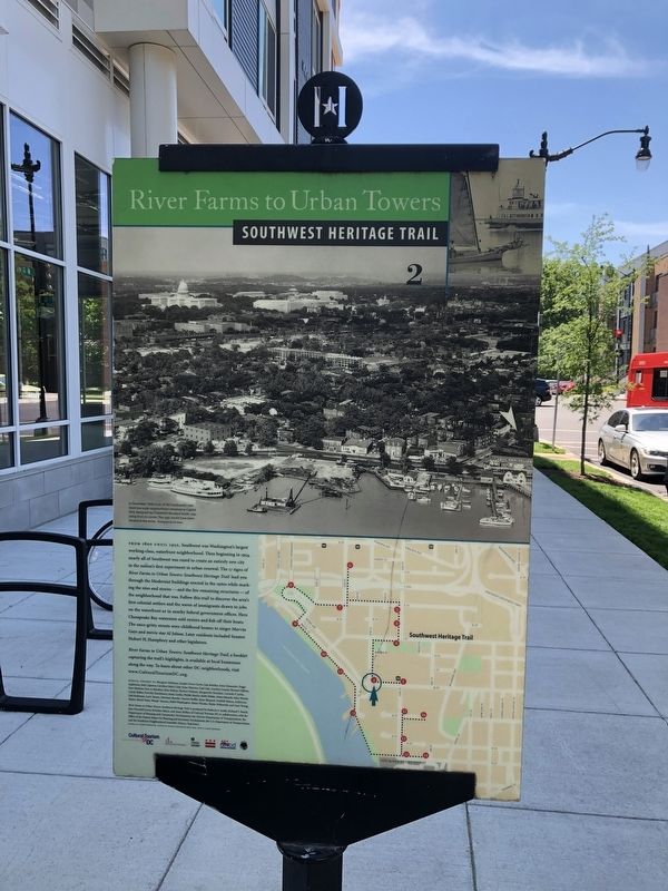
In December 1958 much of
Credits. This page was last revised on January 30, 2023. It was originally submitted on May 15, 2019, by Devry Becker Jones of Washington, District of Columbia. This page has been viewed 347 times since then and 17 times this year. Photos: 1, 2, 3. submitted on May 15, 2019, by Devry Becker Jones of Washington, District of Columbia. 4. submitted on February 21, 2020, by J. Makali Bruton of Accra, Ghana.


