Martinsburg in Berkeley County, West Virginia — The American South (Appalachia)
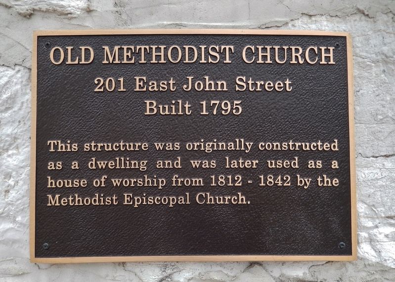
Old Methodist Church
201 East John Street
— Built 1795 —
Topics and series. This historical marker is listed in this topic list: Churches & Religion. In addition, it is included in the West Virginia, Martinsburg Historic Properties series list. A significant historical year for this entry is 1795.
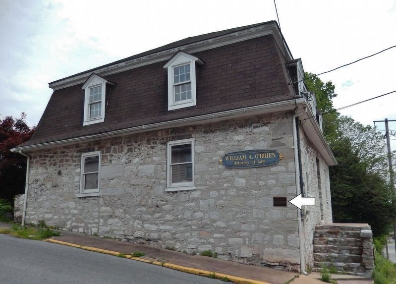
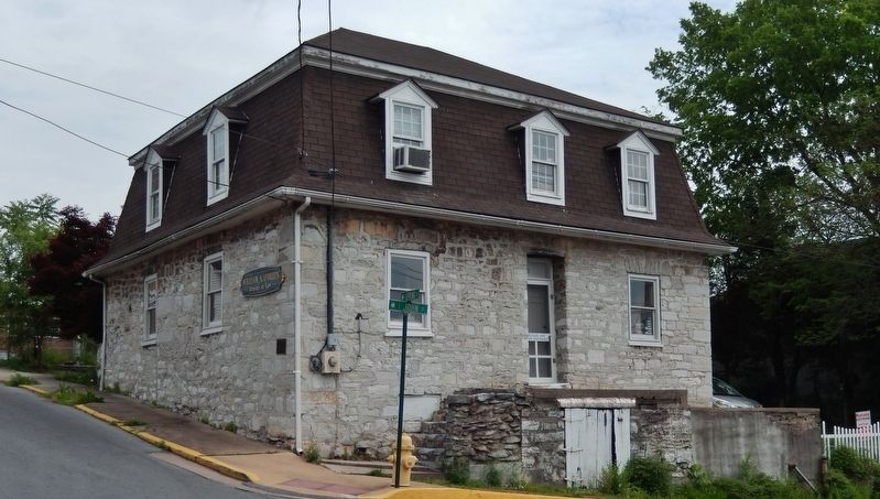
Location. 39° 27.291′ N, 77° 57.781′ W. Marker is in Martinsburg, West Virginia, in Berkeley County. Marker is at the intersection of South Spring Street and East John Street, on the left when traveling south on South Spring Street. Marker is mounted at eye-level, directly on the southwest corner of the subject building, facing South Spring Street. Touch for map. Marker is at or near this postal address: 201 East John Street, Martinsburg WV 25401, United States of America. Touch for directions.
Other nearby markers. At least 8 other markers are within walking distance of this marker. First Electrified House (about 300 feet away, measured in a direct line); Old Stone House (about 400 feet away); St. Joseph's Catholic Church (about 400 feet away); Boarman House (about 500 feet away); Avenue of Flags Monument (about 500 feet away); Welcome to the City of Martinsburg (about 600 feet away); Civil War Martinsburg (about 600 feet away); Gen. Adam Stephen (about 600 feet away). Touch for a list and map of all markers in Martinsburg.
Credits. This page was last revised on May 19, 2019. It was originally submitted on May 19, 2019, by Cosmos Mariner of Cape Canaveral, Florida. This page has been viewed 259 times since then and 30 times this year. Photos: 1, 2, 3, 4. submitted on May 19, 2019, by Cosmos Mariner of Cape Canaveral, Florida.


