Tehachapi in Kern County, California — The American West (Pacific Coastal)
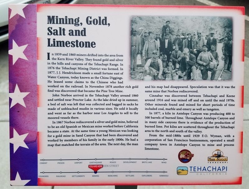
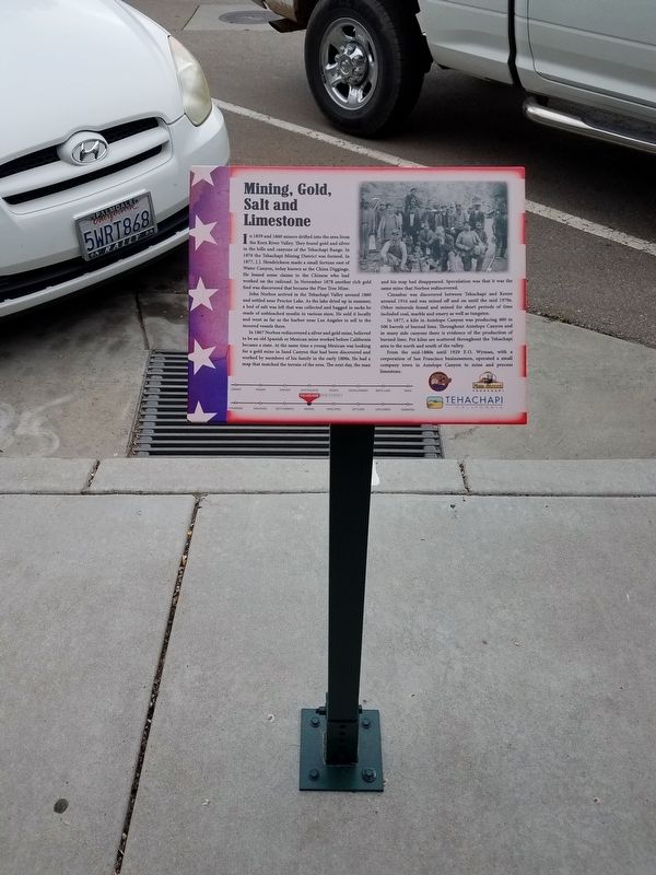
Mining, Gold, Salt and Limestone
John Norboe arrived in the Tehachapi Valley around 1860 and settled near Proctor Lake. As the lake dried up in summer, a bed of salt was left was collected and bagged in sacks he made of unbleached muslin in various sizes. He sold it locally and went as far as the harbor near Los Angeles to sell to the moored vessels there.
In 1867 Norboe rediscovered a silver and gold mine, believed to be an old Spanish or Mexican mine worked before California became a state. At the same time a young Mexican was looking for a gold mine in Sand Canyon that had been discovered and worked by members of his family in the early 1800s. He has a map that matched the terrain of the area. The next day, the man and his map had disappeared. Speculation was that it was the same mine that Norboe rediscovered.
Cinnabar was discovered between Tehachapi and Keene around 1916 and was mined off and on until the mid 1970s. Other minerals found and mined for short periods of time included coal, marble and emery as well as tungsten.
In 1877, a kiln in Antelope Canyon was producing 400 to 500 barrels of burned lime. Throughout Antelope Canyon and in many side canyons there is evidence of the production of burned lime. Pot kilns are scattered throughout the Tehachapi area to the north and south of the valley.
From the mid-1880s until 1929 F.O. Wyman, with a corporation of San Francisco businessmen, operated a small company town in Antelope Canyon to mine and process limestone.
Erected by Main Street Tehachapi, Tehachapi Heritage League and The City of Tehachapi.
Topics. This historical marker is listed in these topic lists: Industry & Commerce • Settlements & Settlers. A significant historical month for this entry is November 1878.
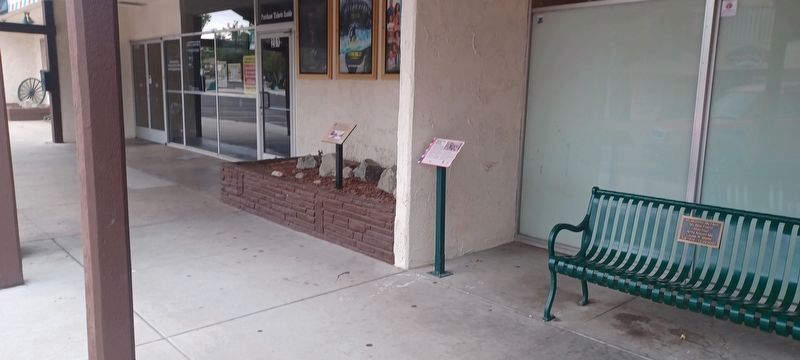
Location. 35° 7.837′ N, 118° 26.875′ W. Marker is in Tehachapi, California, in Kern County. Marker is on Green Street, on the left when traveling north. In front of the Theatre. Touch for map. Marker is at or near this postal address: 201 S Green St, Tehachapi CA 93561, United States of America. Touch for directions.
Other nearby markers. At least 8 other markers are within walking distance of this marker. Hitching Post Theatre (within shouting distance of this marker); Ranching, Farming and Orchards (within shouting distance of this marker); What a Shock! The 1952 Earthquake (within shouting distance of this marker); People of the Mountains (within shouting distance of this marker); First Roads and Highway 58 (within shouting distance of this marker); Early Settlers (within shouting distance of this marker); Tehachapi Airport and Gliderport (within shouting distance of this marker); Real Estate Development Since The 1960s (within shouting distance of this marker). Touch for a list and map of all markers in Tehachapi.
Credits. This page was last revised on September 19, 2023. It was originally submitted on May 29, 2019, by Denise Boose of Tehachapi, California. This page has been viewed 618 times since then and 108 times this year. Photos: 1, 2. submitted on May 29, 2019, by Denise Boose of Tehachapi, California. 3. submitted on September 10, 2023, by Denise Boose of Tehachapi, California. • Andrew Ruppenstein was the editor who published this page.


