Tiffany Acres in Springfield in Clark County, Ohio — The American Midwest (Great Lakes)
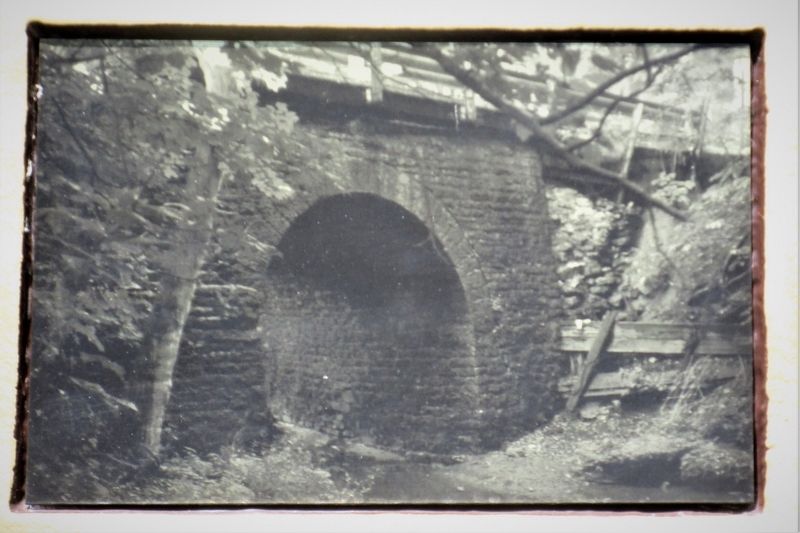
Old Enon Road Stone Arch Culvert
Inscription.
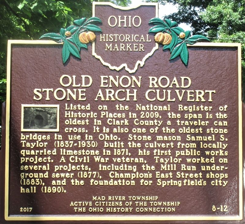
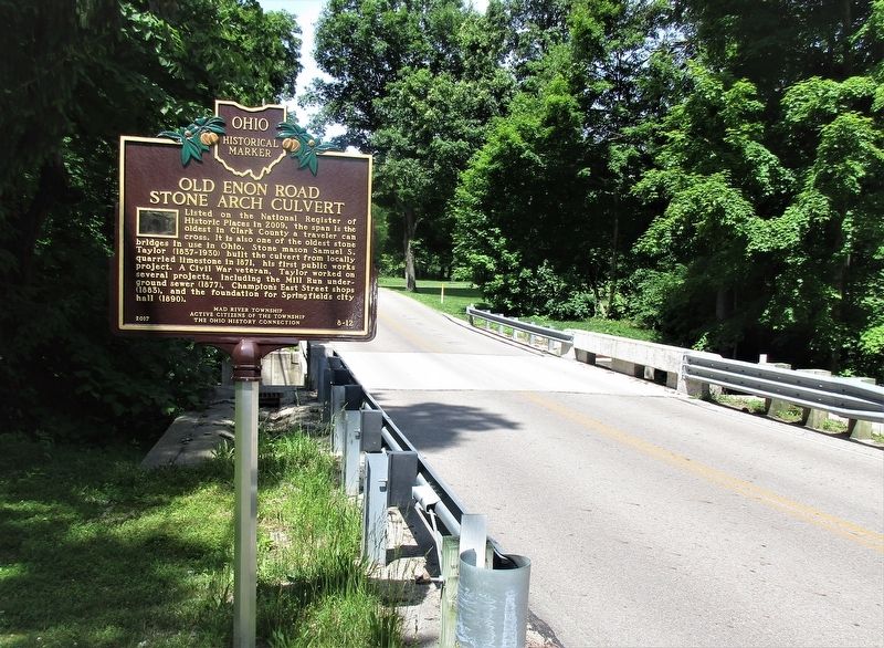
Listed on the National Register of Historic Places in 2009, the span is the oldest in Clark County a traveler can cross. It is also one of the oldest stone bridges in use in Ohio. Stone mason Samuel S. Taylor (1837-1930) built the culvert from locally quarried limestone in 1871, his first public works project. A Civil War veteran, Taylor worked on several projects, including the Mill Run underground sewer (1877), Champion’s East Street shops (1883), and the foundation for Springfield’s city hall (1890).
Erected 2017 by Mad River Township, Active Citizens of the Township, and The Ohio History Connection. (Marker Number 8-12.)
Topics and series. This historical marker is listed in this topic list: Bridges & Viaducts. In addition, it is included in the Ohio Historical Society / The Ohio History Connection series list.
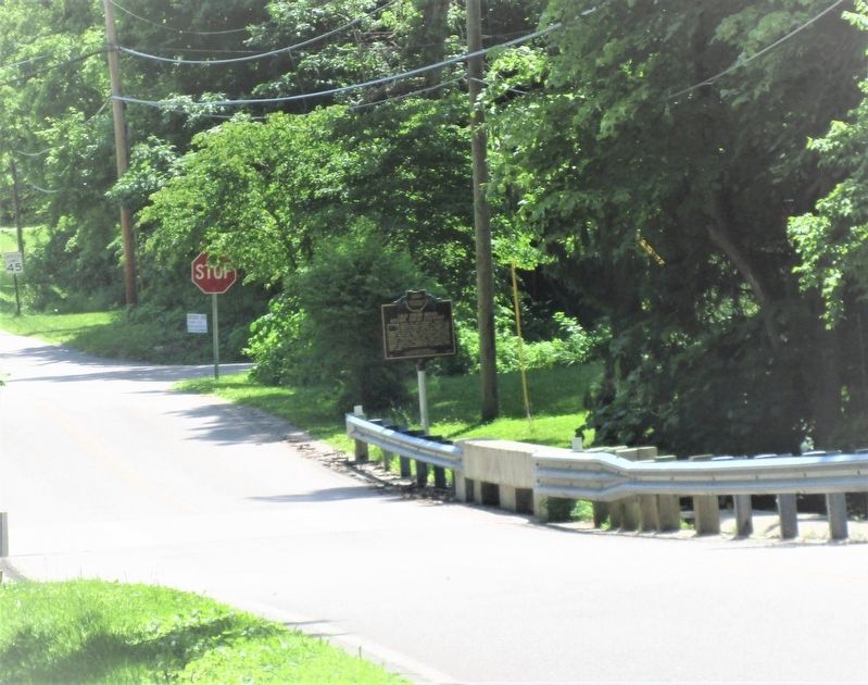
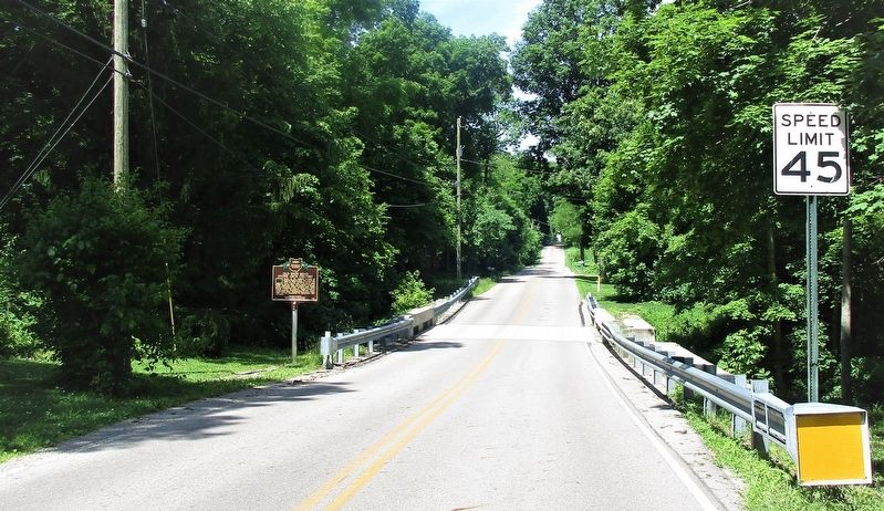
Location. 39° 52.171′ N, 83° 52.757′ W. Marker is in Springfield, Ohio, in Clark County. It is in Tiffany Acres. Marker is at the intersection of Rocky Point Road (County Route 136) and Old Mill Road (County Route 146), on the left when traveling west on Rocky Point Road. Touch for map. Marker is at or near this postal address: 3461 Rocky Point Road, Springfield OH 45502, United States of America. Touch for directions.
Other nearby markers. At least 8 other markers are within 4 miles of this marker, measured as the crow flies. Enon Civil War Memorial (approx. 2.6 miles away); Mad River Township Civil War Memorial (approx. 2.6 miles away); Adena Mound Enon Ohio (approx. 2.9 miles away); Enon Adena Mound (approx. 2.9 miles away); Peckuwe Shawnee Memorial (approx. 3.2 miles away); The Battle of Piqua (approx. 3.2 miles away); a different marker also named Battle of Piqua (approx. 3.2 miles away); The Battle of Piqua, or Picawey (approx. 3.3 miles away). Touch for a list and map of all markers in Springfield.
Credits. This page was last revised on February 7, 2023. It was originally submitted on June 11, 2019, by Rev. Ronald Irick of West Liberty, Ohio. This page has been viewed 302 times since then and 36 times this year. Photos: 1, 2, 3, 4, 5. submitted on June 11, 2019, by Rev. Ronald Irick of West Liberty, Ohio. • Bill Pfingsten was the editor who published this page.
