Elizabethton in Carter County, Tennessee — The American South (East South Central)
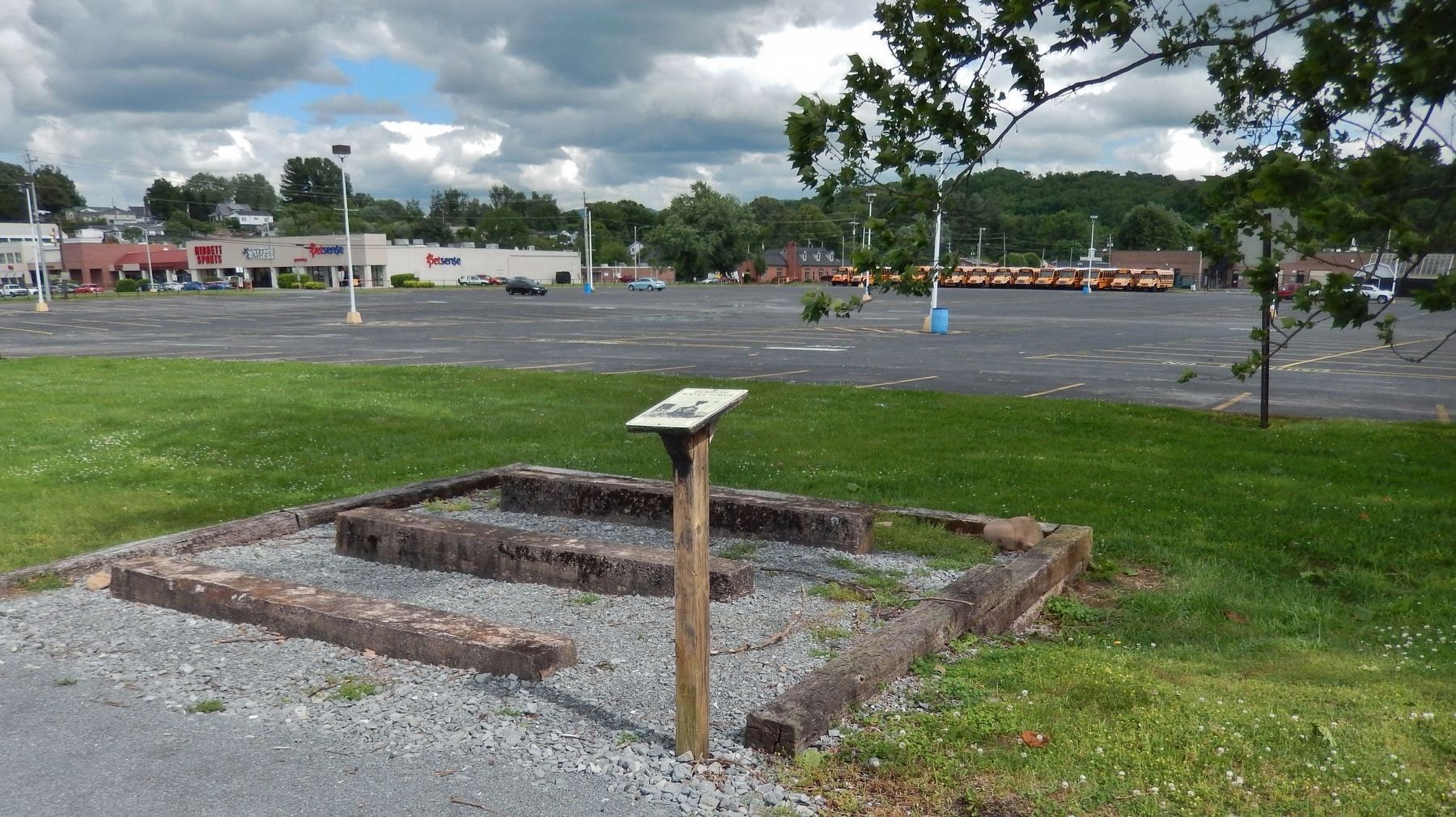
Bemberg Water Tower
and the alumni of the 2014-2015 Carter County Adult Leadership program.
Cross ties provided by Big Johnís Closeouts.
Topics. This historical marker is listed in this topic list: Railroads & Streetcars.
Location. 36° 20.927′ N, 82° 14.402′ W. Marker is in Elizabethton, Tennessee, in Carter County. Marker is on West Elk Avenue (U.S. 321) west of Bemberg Road, on the right when traveling east. Marker is located along the Tweetsie Trail, on the north side of the Elizabethton High School parking lot. Touch for map. Marker is in this post office area: Elizabethton TN 37643, United States of America. Touch for directions.
Other nearby markers. At least 8 other markers are within walking distance of this marker. Bemberg Station / Port Rayon (about 500 feet away, measured in a direct line); Green Hill Cemetery (approx. 0.4 miles away); Transylvania Purchase (approx. 0.7 miles away); Watauga Fort (approx. 0.7 miles away); Watauga Purchase (approx. 0.7 miles away); Sycamore Shoals of the Watauga (approx. 0.7 miles away); a different marker also named Sycamore Shoals of the Watauga (approx. 0.7 miles away); Valentine Sevier, "The Immigrant" (approx. 0.8 miles away). Touch for a list and map of all markers in Elizabethton.
Related markers. Click here for a list of markers that are related to this marker. Bemberg Station, Elizabethton, Tennessee
Also see . . . ET&WNC "Tweetsie" Railroad. Beginning in the 1880s, the narrow gauge engine known as the "Tweetsie" ran on East Tennessee and Western North Carolina Railroad (a.k.a. the "ET&WNC" ) between Johnson City and passing through Elizabethton before climbing into the Blue Ridge Mountains, eventually connecting to Boone, North Carolina in 1916. If you look today when you drive by, you can still see the foundation of the water tower between Elk Avenue and the Elizabethton High School parking lot. (Submitted on June 21, 2019, by Cosmos Mariner of Cape Canaveral, Florida.)
Credits. This page was last revised on June 21, 2019. It was originally submitted on June 19, 2019, by Cosmos Mariner of Cape Canaveral, Florida. This page has been viewed 281 times since then and 22 times this year. Photos: 1, 2. submitted on June 21, 2019, by Cosmos Mariner of Cape Canaveral, Florida.

