Near Ewing in Robertson County, Kentucky — The American South (East South Central)
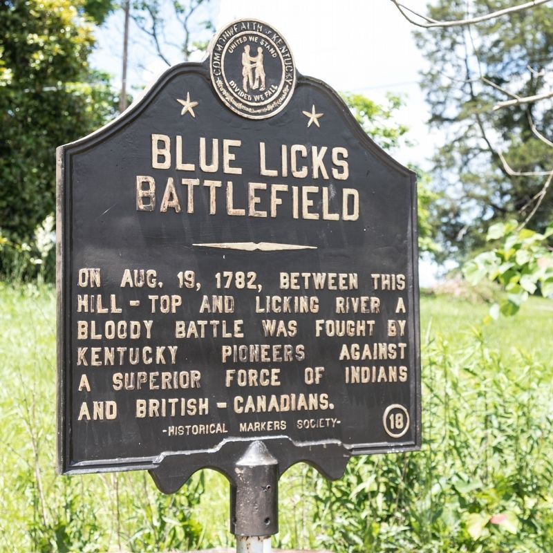
Blue Licks Battlefield
Erected 1949 by Historical Markers Society. (Marker Number 18.)
Topics and series. This historical marker is listed in this topic list: War, US Revolutionary. In addition, it is included in the Kentucky Historical Society series list. A significant historical date for this entry is August 19, 1782.
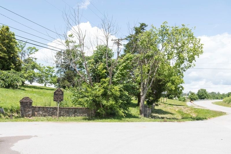
Location. 38° 26.066′ N, 83° 59.491′ W. Marker is near Ewing, Kentucky, in Robertson County. Marker is at the intersection of Maysville Road (U.S. 68) and the entrance to Blue Licks Battlefield State Park, on the left when traveling north on Maysville Road. Touch for map. Marker is at or near this postal address: 10299 Maysville Rd, Carlisle KY 40311, United States of America. Touch for directions.
Other nearby markers. At least 8 other markers are within walking distance of this marker. Unknown Heros of the Battle of the Blue Licks (within shouting distance of this marker); The Martyrs of the Last Battle of The Revolution (about 500 feet away, measured in a direct line); a different marker also named Blue Licks Battlefield (about 700 feet away); Patriot-Pioneer (approx. 0.2 miles away); William Jobe "Bill" Curtis (approx. 0.2 miles away); Great Indian Warrior Trading Path (approx. 0.2 miles away); Buffalo Trace (approx. 0.2 miles away); Pioneer Pursuit (approx. 0.4 miles away).
Also see . . . Wikipedia entry for Battle of Blue Licks.
The Battle of Blue Licks, fought on August 19, 1782, was one of the last battles of the American Revolutionary War. The battle occurred ten months after Lord Cornwallis’s surrender at Yorktown, which had effectively ended the war in the east. On a hill next to the Licking River in what is now Robertson County, Kentucky (then Fayette County, Virginia), a force of about 50 American and Canadian Loyalists along with 300 American Indians ambushed and routed 182 Kentucky militiamen. It was the last victory for the Loyalists and Indians during the frontier war.(Submitted on July 8, 2019.)
Credits. This page was last revised on July 8, 2019. It was originally submitted on July 8, 2019, by J. J. Prats of Powell, Ohio. This page has been viewed 435 times since then and 59 times this year. Photos: 1, 2. submitted on July 8, 2019, by J. J. Prats of Powell, Ohio.

