Simpsonville in Shelby County, Kentucky — The American South (East South Central)
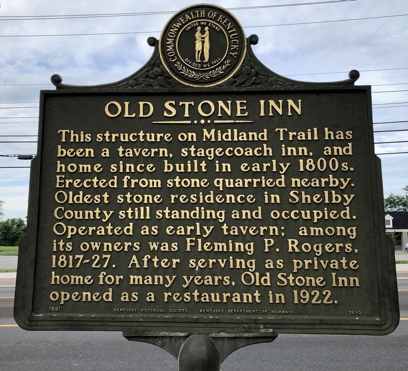
Old Stone Inn
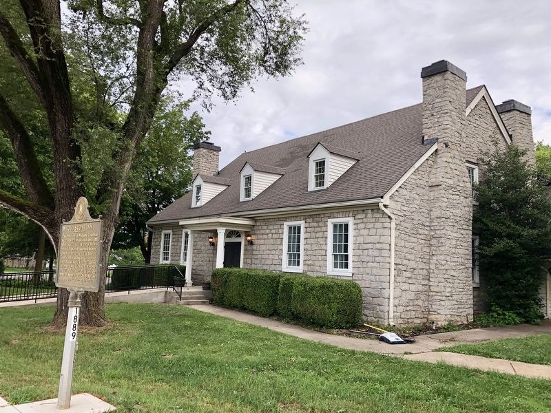
This structure on Midland Trail has been a tavern, stagecoach inn, and home since built in early 1800s. Erected from stone quarried nearby. Oldest stone residence in Shelby County still standing and occupied. Operated as early tavern; among its owners was Fleming P. Rogers, 1817-27. After serving as private home for many years, Old Stone Inn opened as a restaurant in 1922.
Erected 1991 by Kentucky Historical Society, Kentucky Department of Highways. (Marker Number 1889.)
Topics and series. This historical marker is listed in this topic list: Notable Buildings. In addition, it is included in the Kentucky Historical Society series list. A significant historical year for this entry is 1922.
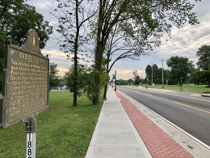
Location. 38° 13.325′ N, 85° 20.857′ W. Marker is in Simpsonville, Kentucky, in Shelby County. Marker is on Shelbyville Road (U.S. 60) west of Buck Creek Road (Route 1848), on the right when traveling west. Touch for map. Marker is at or near this postal address: 6905 Shelbyville Road, Simpsonville KY 40067, United States of America. Touch for directions.
Other nearby markers. At least 8 other markers are within 5 miles of this marker, measured as the crow flies. Capt. John Simpson (about 300 feet away, measured in a direct line); Simpsonville Methodist Church (approx. 0.6 miles away); "Horrible Massacre" / African American Cemetery (approx. 1.3 miles away); Whitney M. Young, Jr. (1921-1971) (approx. 1˝ miles away); Lincoln Institute Campus (approx. 1˝ miles away); Thelma L. Stovall (approx. 1.6 miles away); Ednum Gregg (approx. 4.2 miles away); Benjamin Bridges, Sr. (approx. 4.2 miles away). Touch for a list and map of all markers in Simpsonville.
Also see . . . Old Stone Inn. Explore Kentucky History website entry (Submitted on January 8, 2022, by Larry Gertner of New York, New York.)
Credits. This page was last revised on January 8, 2022. It was originally submitted on July 17, 2019, by Mark Hilton of Montgomery, Alabama. This page has been viewed 453 times since then and 31 times this year. Photos: 1, 2, 3. submitted on July 17, 2019, by Mark Hilton of Montgomery, Alabama.


