Havre de Grace in Harford County, Maryland — The American Northeast (Mid-Atlantic)
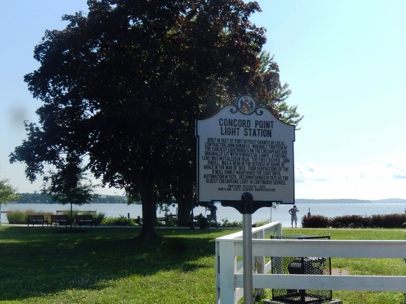
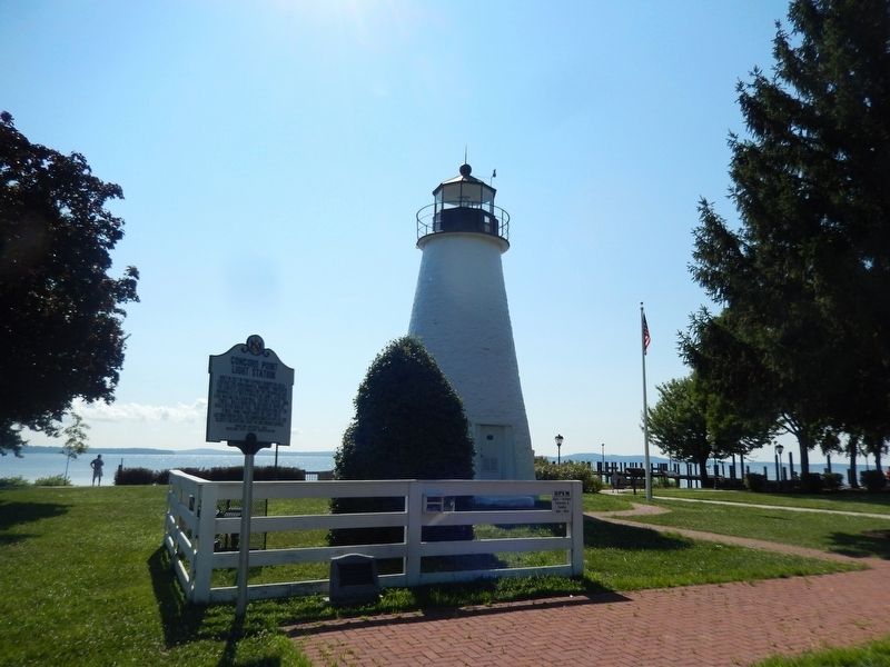
Concord Point Light Station
Erected by Maryland Historical Trust-Maryland State Highway Administration.
Topics and series. This historical marker is listed in this topic list: Landmarks. In addition, it is included in the Maryland Historical Trust series list. A significant historical year for this entry is 1827.
Location. 39° 32.448′ N, 76° 5.094′ W. Marker is in Havre de Grace, Maryland, in Harford County. Marker is on Concord Street. The marker is located on the left side of the Lighthouse by a white fence in Concord Point Lighthouse Park. Touch for map. Marker is at or near this postal address: 700 Concord Street, Havre de Grace MD 21078, United States of America. Touch for directions.
Other nearby markers. At least 8 other markers are within walking distance of this marker. Dangerous Waters (a few steps from this marker); John O'Neill (a few steps from this marker); The Concord Point Light Keeper’s House and Property, 1827-1920 (within shouting distance of this marker); Havre de Grace (within shouting distance of this marker); Keeper of the Light (within shouting distance of this marker); The point where the Susquehanna River meets the Chesapeake Bay (within shouting distance of this marker); British Landing (within shouting distance of this marker); Principio Destroyed (within shouting distance of this marker). Touch for a list and map of all markers in Havre de Grace.
Credits. This page was last revised on July 26, 2019. It was originally submitted on July 25, 2019, by Don Morfe of Baltimore, Maryland. This page has been viewed 177 times since then and 15 times this year. Photos: 1, 2, 3. submitted on July 25, 2019, by Don Morfe of Baltimore, Maryland. • Bill Pfingsten was the editor who published this page.


